MyTopo
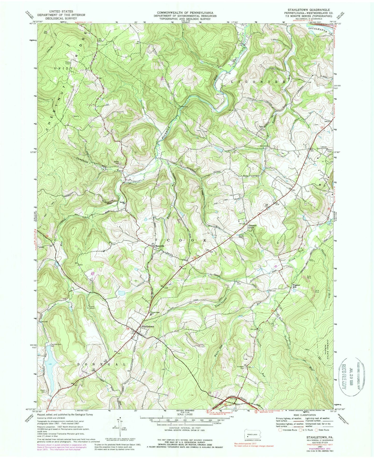
Classic USGS Stahlstown Pennsylvania 7.5'x7.5' Topo Map
Couldn't load pickup availability
Historical USGS topographic quad map of Stahlstown in the state of Pennsylvania. Typical map scale is 1:24,000, but may vary for certain years, if available. Print size: 24" x 27"
This quadrangle is in the following counties: Westmoreland.
The map contains contour lines, roads, rivers, towns, and lakes. Printed on high-quality waterproof paper with UV fade-resistant inks, and shipped rolled.
Contains the following named places: Bethel Cemetery, Bethel Church, Camp Wesco, Campbelle Run, Enoch Stahl School, Fourmile Run Dam, Keffer Run, Laurel Run, Mansville, Mill Creek, Phoebe Run, Pleasant Grove, Porch Cemetery, Snowball Cemetery, Stahlstown, White Oak Run, Zion Church, Powdermill Run, Breskin Dam Number Two, Breskin Pond Dam Number One, Breskin Pond, Four Mile Run Dam, Chestnut Ridge, Weaver School, Ridge School (historical), Ligonier Country Club, Township of Cook, Chestnut Ridge Community Volunteer Fire Department, Mutual Aid Emergency Medical Service Chestnut Ridge Station, Stahlstown Post Office


