MyTopo
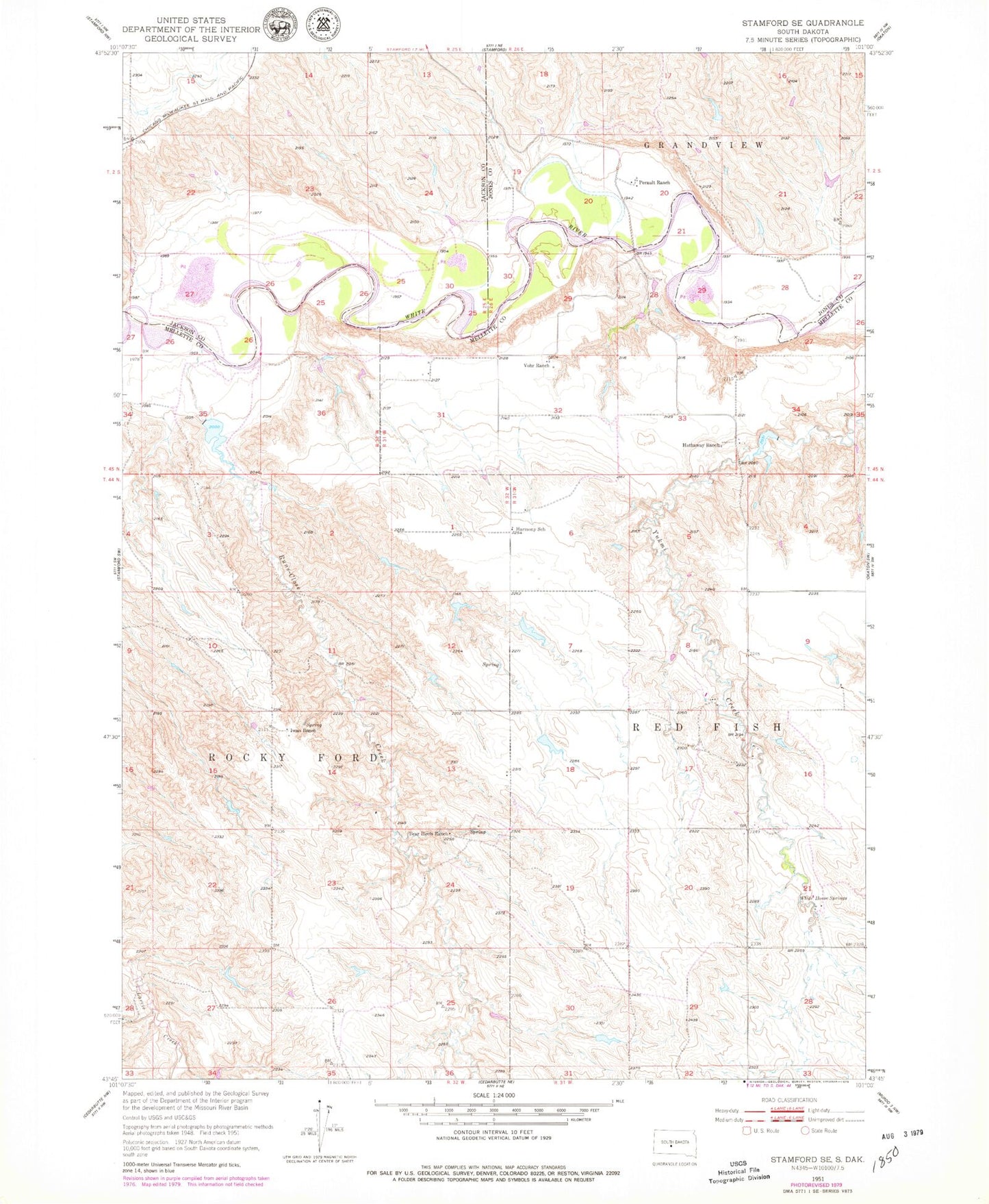
Classic USGS Stamford SE South Dakota 7.5'x7.5' Topo Map
Couldn't load pickup availability
Historical USGS topographic quad map of Stamford SE in the state of South Dakota. Map scale may vary for some years, but is generally around 1:24,000. Print size is approximately 24" x 27"
This quadrangle is in the following counties: Jackson, Jones, Mellette.
The map contains contour lines, roads, rivers, towns, and lakes. Printed on high-quality waterproof paper with UV fade-resistant inks, and shipped rolled.
Contains the following named places: Bear Heels Ranch, Daum Brothers Number 1 Dam, Good Road Cemetery, Harmony School, Hathaway Ranch, Iwan Number 4 Dam, Iwan O M Number 1 Dam, Iwan O M Number 3 Dam, Iwan Ranch, Perault Number 1 Dam, Perault Number 4 Dam, Perault Number 5 Dam, Perault Number 6 Dam, Perault Number 7 Dam, Perault Ranch, Runs Close Creek, Saint Paul German Lutheran Cemetery, Schamber, Township of Red Fish, Vohr Ranch, White Horse Springs