MyTopo
Classic USGS Stamford New York 7.5'x7.5' Topo Map
Couldn't load pickup availability
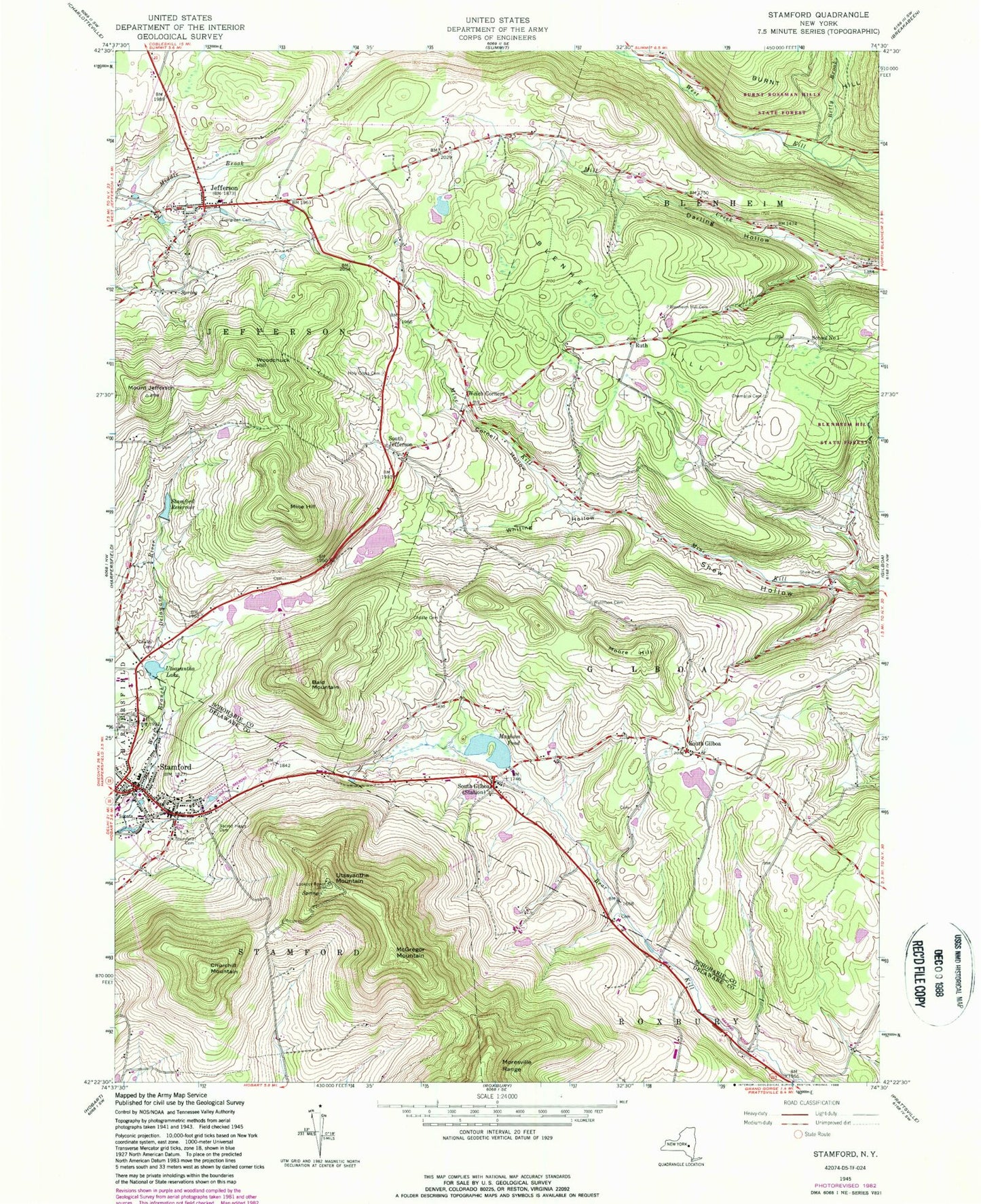
Historical USGS topographic quad map of Stamford in the state of New York. Typical map scale is 1:24,000, but may vary for certain years, if available. Print size: 24" x 27"
This quadrangle is in the following counties: Delaware, Schoharie.
The map contains contour lines, roads, rivers, towns, and lakes. Printed on high-quality waterproof paper with UV fade-resistant inks, and shipped rolled.
Contains the following named places: Bald Mountain, Betty Brook, Blenheim Hill, Blenheim Hill Cemetery, Champlin Cemetery, Choate Cemetery, Churchill Mountain, Cornell Hollow, Cowley Cemetery, Darling Hollow, Evergreen Cemetery, Holy Cross Cemetery, Jefferson, Mayham Pond, McGregor Mountain, Mine Hill, Moore Hill, Ruliffson Cemetery, Ruth, Sacred Heart Cemetery, Shew Cemetery, South Gilboa, South Gilboa Station, Stamford, Stamford Cemetery, Stamford Reservoir, Utsayantha Lake, Utsayantha Mountain, Welch Corners, Whiting Hollow, Woodchuck Hill, South Jefferson, Mount Jefferson, School Number 1 (historical), Town of Jefferson, Brimstone Church, School Number 9 (historical), School Number 7 (historical), School Number 14 (historical), Village of Stamford, Jefferson Cemetery, Maynard Cemetery, Potter Hill Cemetery, Peck Cemetery, Soule Cemetery, South Gilboa Cemetery, Welchs Corners Cemetery, Buck Hill Farm, Stamford Baptist Church, Stamford First Presbyterian Church, Stamford United Methodist Church, Trinity Lutheran Church, Kingdom Hall of Jehovahs Witnesses, Sacred Heart Church, Stamford Village Library, Jefferson Town Hall, Jefferson Post Office, Stamford Post Office, Jefferson Central School, Stamford Central School, Jefferson Volunteer Fire Department, Stamford Volunteer Fire Department, Jefferson Census Designated Place


