MyTopo
Classic USGS Stamford Vermont 7.5'x7.5' Topo Map
Couldn't load pickup availability
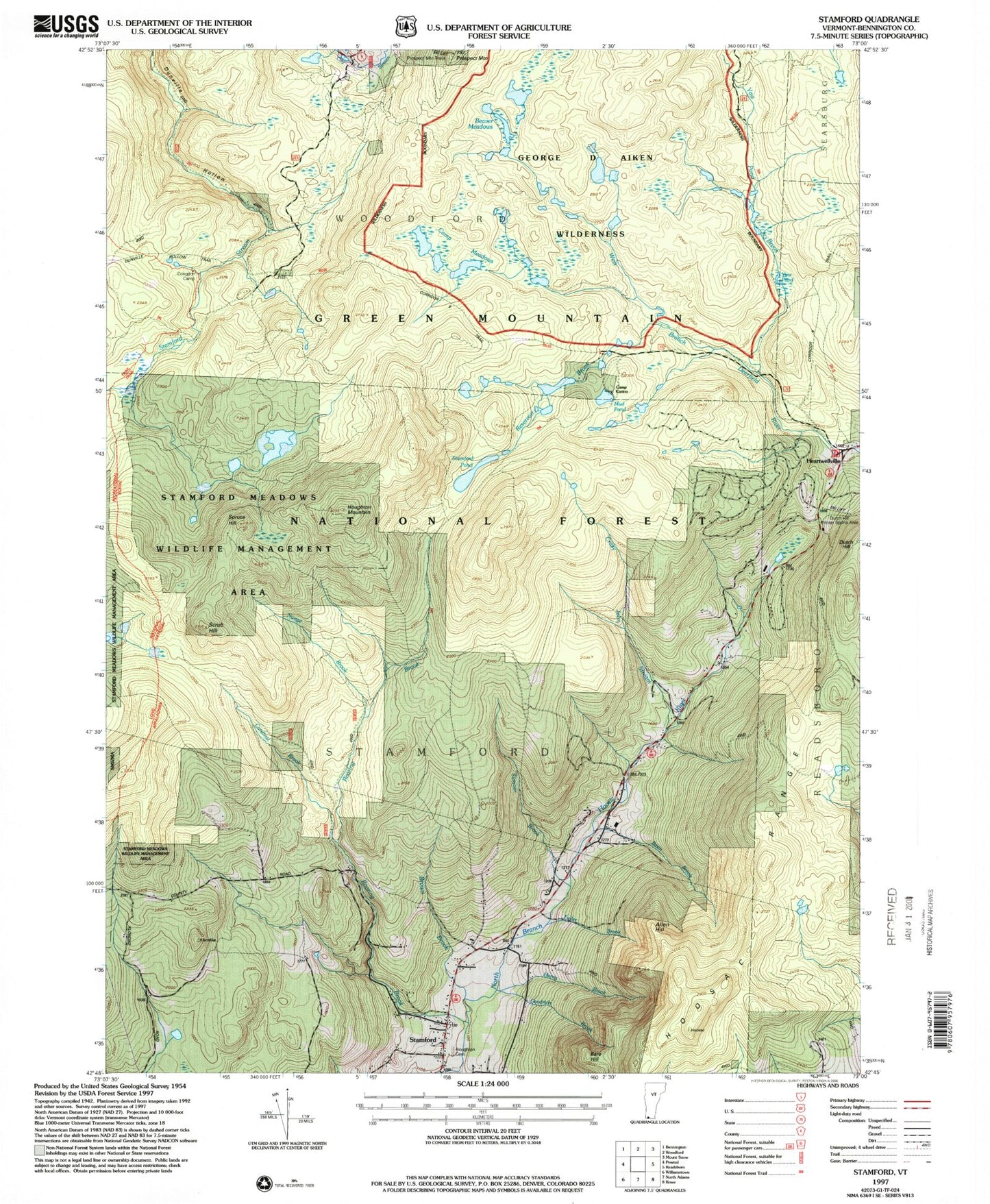
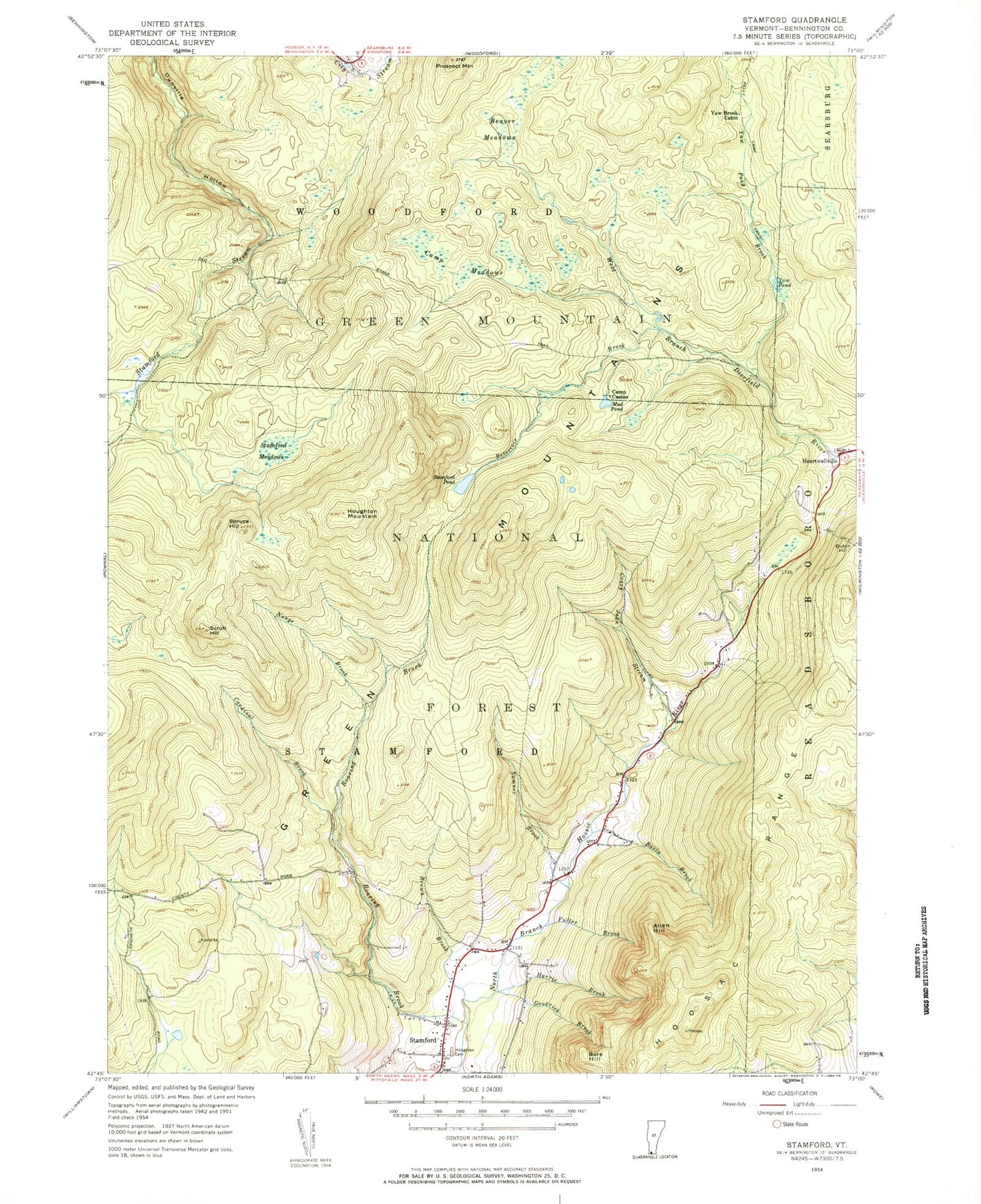
Historical USGS topographic quad map of Stamford in the state of Vermont. Typical map scale is 1:24,000, but may vary for certain years, if available. Print size: 24" x 27"
This quadrangle is in the following counties: Bennington.
The map contains contour lines, roads, rivers, towns, and lakes. Printed on high-quality waterproof paper with UV fade-resistant inks, and shipped rolled.
Contains the following named places: Allen Hill, Bare Hill, Basin Brook, Beaver Meadows, Brown Brook, Camp Casino, Camp Meadows, Cardinal Brook, Crazy John Stream, Fuller Brook, Goodrich Brook, Harris Brook, Houghton Cemetery, Houghton Mountain, Kelly Camp Trail, Mud Pond, Nunge Brook, Old Stage Trail, Prospect Mountain, Reservoir Brook, Roaring Brook, Scrub Hill, Spruce Hill, Stamford, Stamford Meadows, Stamford Pond, Sumner Brook, Yaw Brook Cabin, Yaw Pond, Yaw Pond Brook, George D Aiken Wilderness, Prospect Mountain Winter Sports Area, Dutch Hill Winter Sports Area, Congdon Camp, Town of Stamford, Stamford and Woodford Plateau, Stamford Community Library, Stamford Elementary School, Stamford Meadows Wildlife Management Area, Stamford Town Hall, Village of Alpenwald, Stamford Volunteer Fire Department, Stamford Census Designated Place


