MyTopo
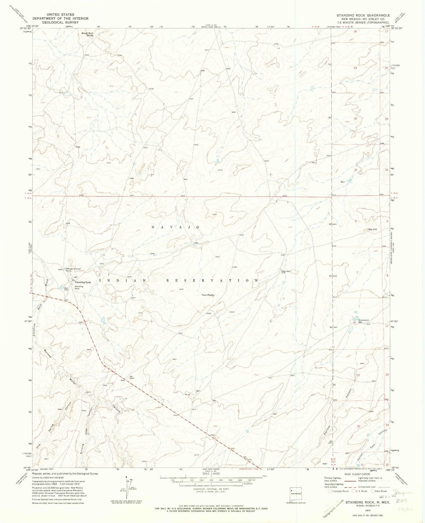
Classic USGS Standing Rock New Mexico 7.5'x7.5' Topo Map
Couldn't load pickup availability
Historical USGS topographic quad map of Standing Rock in the state of New Mexico. Map scale may vary for some years, but is generally around 1:24,000. Print size is approximately 24" x 27"
This quadrangle is in the following counties: McKinley.
The map contains contour lines, roads, rivers, towns, and lakes. Printed on high-quality waterproof paper with UV fade-resistant inks, and shipped rolled.
Contains the following named places: 10017 Water Well, 10020 Water Well, 157-500 Water Well, Burned Water Canyon, Dog Spring Canyon, Dry Hill, Moon Well, Mulholland Well, Narrow Canyon, Pinetree Canyon, Rough Rock Spring, Running Edge Canyon, SJ-109-S-15 Water Well, Standing Rock, Standing Rock Chapter, Twin Peaks