MyTopo
Classic USGS Standing Rocks Arizona 7.5'x7.5' Topo Map
Regular price
$16.95
Regular price
Sale price
$16.95
Unit price
per
Couldn't load pickup availability
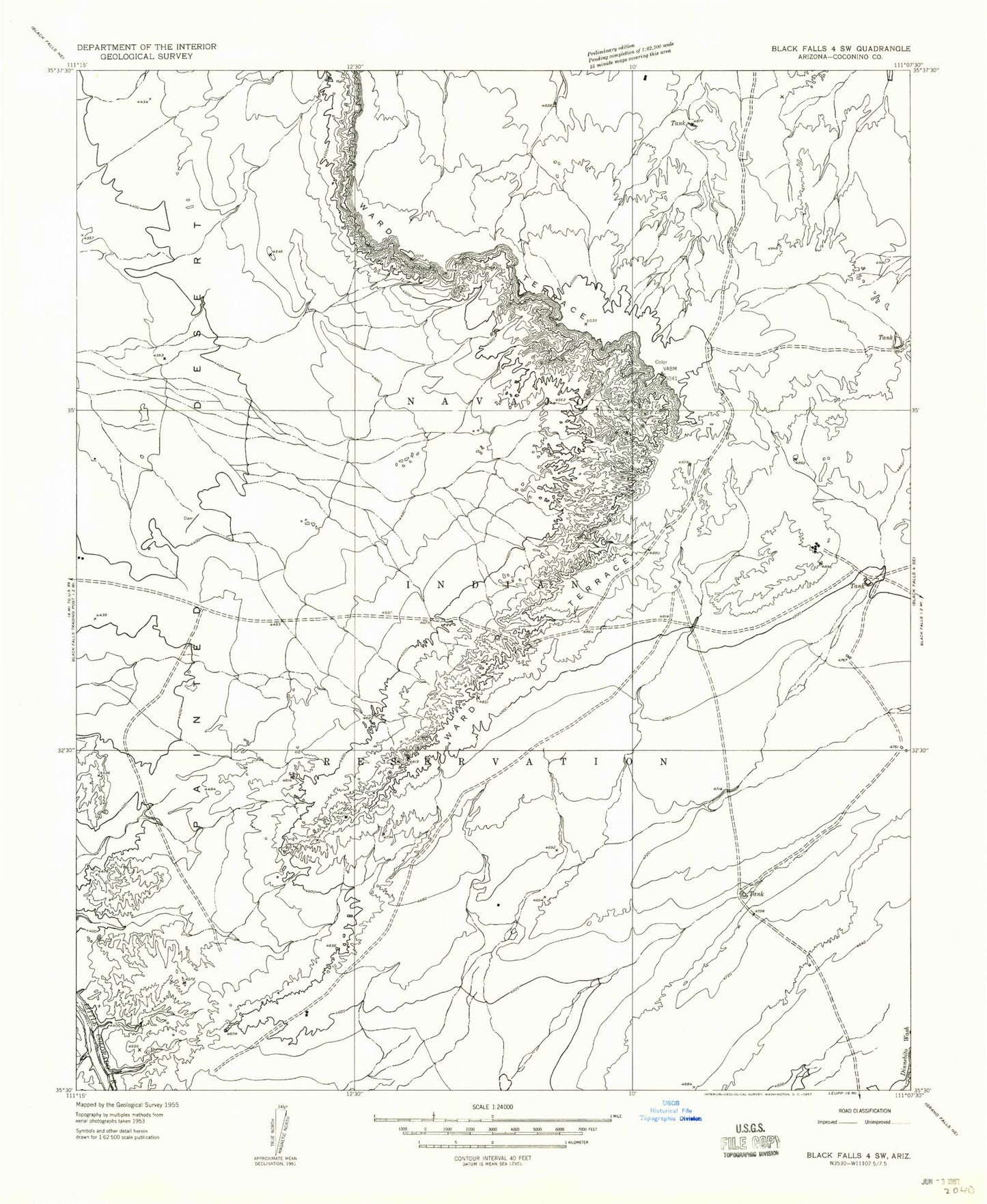
Historical USGS topographic quad map of Standing Rocks in the state of Arizona. Map scale may vary for some years, but is generally around 1:24,000. Print size is approximately 24" x 27"
This quadrangle is in the following counties: Coconino.
The map contains contour lines, roads, rivers, towns, and lakes. Printed on high-quality waterproof paper with UV fade-resistant inks, and shipped rolled.
Contains the following named places: Box Spring, Bug Tanks, Cow Tank, Dry Spring Well, Kish Zhini Tank, Lii Haditiih Tank, Muddy Tank, Natoni Well, No Water Tank, Standing Rocks, Stone House Wash