MyTopo
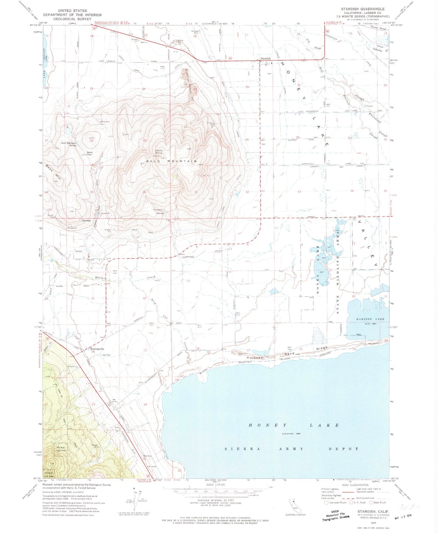
Classic USGS Standish California 7.5'x7.5' Topo Map
Couldn't load pickup availability
Historical USGS topographic quad map of Standish in the state of California. Map scale may vary for some years, but is generally around 1:24,000. Print size is approximately 24" x 27"
This quadrangle is in the following counties: Lassen.
The map contains contour lines, roads, rivers, towns, and lakes. Printed on high-quality waterproof paper with UV fade-resistant inks, and shipped rolled.
Contains the following named places: Bald Mountain, Bald Mountain Spring, Baxter Creek, Brownell Creek, Buntingville, Byers Pass, Charlie Spring, Deep Cut Creek, Edgemont, Fish Slough, Gilhooley Slough, Hartson Lake, Hartson Sand Ridge, Honey Lake State Wildlife Area, Lake Cemetery, Lake School, Lower Canal, Main Canal, Parker Creek, Sloss Creek, Standish, Standish Bible Church, Standish Cemetery, Standish Gravel Pit, Standish Litchfield Fire Protection District, Standish Post Office, Woodstock Canal, ZIP Codes: 96114, 96128