MyTopo
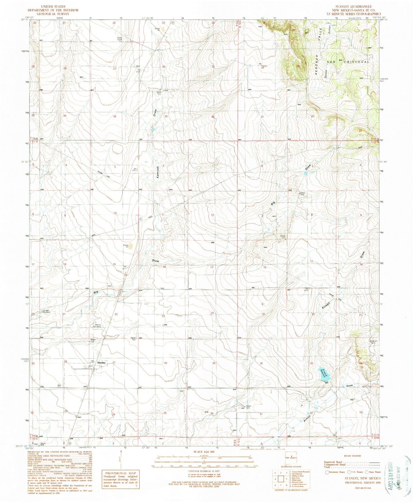
Classic USGS Stanley New Mexico 7.5'x7.5' Topo Map
Couldn't load pickup availability
Historical USGS topographic quad map of Stanley in the state of New Mexico. Map scale may vary for some years, but is generally around 1:24,000. Print size is approximately 24" x 27"
This quadrangle is in the following counties: Santa Fe.
The map contains contour lines, roads, rivers, towns, and lakes. Printed on high-quality waterproof paper with UV fade-resistant inks, and shipped rolled.
Contains the following named places: 10078 Water Well, 87056, Bill Kamradt Ranch, Fisher Ranch, Fronabarger Ranch, K and R Reservoir, Kamradt Draw, Kamradt Ranch, Kinsell Draw, Kinsell Ranch, Kinsell Reservoir Dam, Landon Windmill, Miller Ranch, Mitchell Ranch, Santa Fe County Volunteer Fire Stanley District Station 2, Stanley, Stanley Cemetery, Stanley Census Designated Place, Stanley Post Office, Watson Ranch, West Otto Site