MyTopo
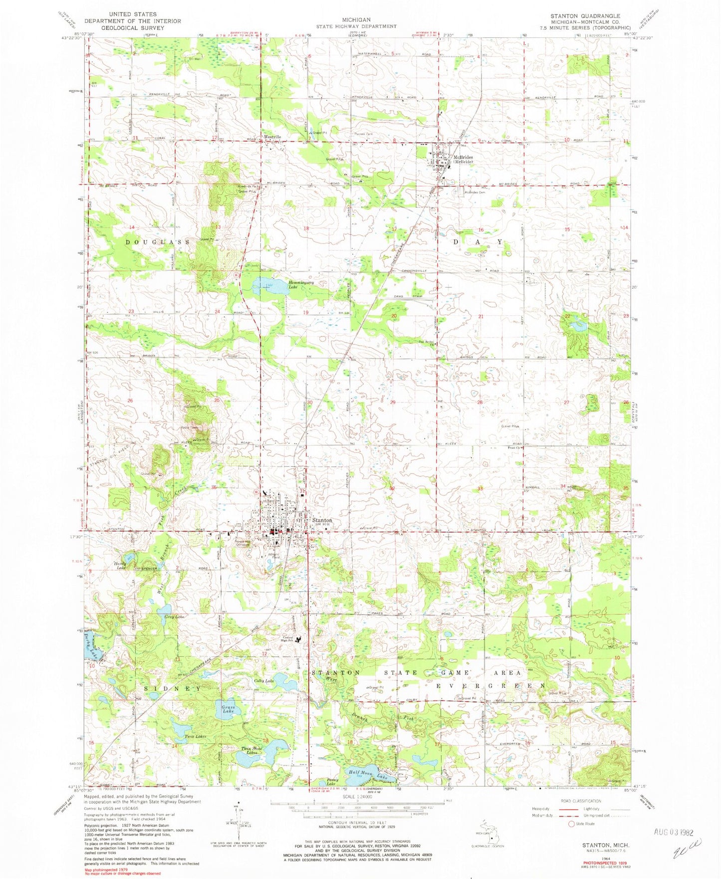
Classic USGS Stanton Michigan 7.5'x7.5' Topo Map
Couldn't load pickup availability
Historical USGS topographic quad map of Stanton in the state of Michigan. Map scale may vary for some years, but is generally around 1:24,000. Print size is approximately 24" x 27"
This quadrangle is in the following counties: Montcalm.
The map contains contour lines, roads, rivers, towns, and lakes. Printed on high-quality waterproof paper with UV fade-resistant inks, and shipped rolled.
Contains the following named places: Activities Building, Beatrice E Doser Building, Central High School, City of Stanton, Colby Lake, Colby Post Office, Colby's Station, Congregational Church, Day Bethel Church, Day Township Fire Department, First Baptist Church, Forest Hill Cemetery, Frost Church, Grass Lake, Gray Lake, Half Moon Lake, Hardley Lake, Hemmingway Lake, Instruction East Building, Instruction North Building, Instruction West Building, McBride, McBrides Cemetery, McBrides Post Office, McBrides Station, Montcalm Community College, Montcalm Community College Library, Montcalm County Emergency Medical Services, Montcalm County Sheriff's Office, Palmer Cemetery, Penny Lake, Saint Bernadette of Lourdes Church, Stanley P Ash Building, Stanton, Stanton City Hall, Stanton Community Fire Department, Stanton Elementary School, Stanton Family Care Center, Stanton Mobile Home Park, Stanton Oil Field, Stanton Police Department, Stanton Post Office, Stanton State Game Area, Stanton Station, Township of Day, Traditional Congregational Church, Trinity Evangelical Free Church, Twin Lakes, Twin Stone Lakes, Upper Elementary School, Village of McBride, Westville, Westville Post Office, White Pine Library, ZIP Codes: 48852, 48888


