MyTopo
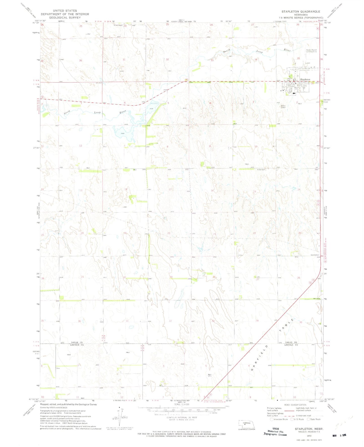
Classic USGS Stapleton Nebraska 7.5'x7.5' Topo Map
Couldn't load pickup availability
Historical USGS topographic quad map of Stapleton in the state of Nebraska. Map scale may vary for some years, but is generally around 1:24,000. Print size is approximately 24" x 27"
This quadrangle is in the following counties: Lincoln, Logan.
The map contains contour lines, roads, rivers, towns, and lakes. Printed on high-quality waterproof paper with UV fade-resistant inks, and shipped rolled.
Contains the following named places: Baskin Ranch Landing Strip, Garfield Table, Logan County Fair Exhibit Hall, Logan County Library, Logan County Sheriff's Office, Saint Johns Catholic Church, Stapleton, Stapleton Number 2 Election Precinct, Stapleton Post Office, Stapleton Presbyterian Church, Stapleton Public Schools, Stapleton Volunteer Fire Department, Village of Stapleton, Wilcox Ranch