MyTopo
Classic USGS Star Lake New Mexico 7.5'x7.5' Topo Map
Couldn't load pickup availability
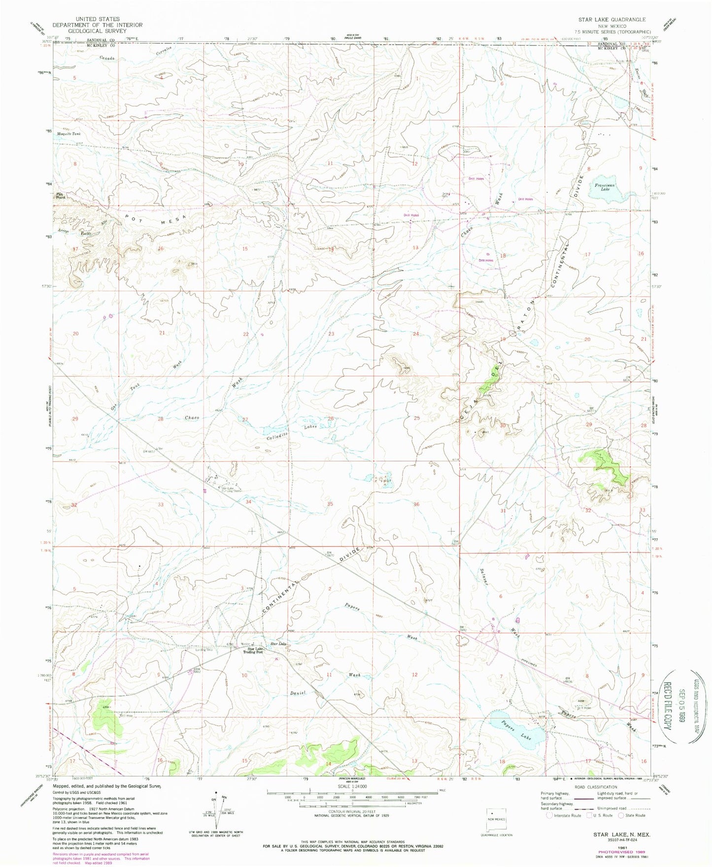
Historical USGS topographic quad map of Star Lake in the state of New Mexico. Map scale may vary for some years, but is generally around 1:24,000. Print size is approximately 24" x 27"
This quadrangle is in the following counties: McKinley, Sandoval.
The map contains contour lines, roads, rivers, towns, and lakes. Printed on high-quality waterproof paper with UV fade-resistant inks, and shipped rolled.
Contains the following named places: 1 Water Well, Calladito Lakes, CCR 22 Water Well, Ceja del Raton, D4-oe-1 Water Well, Daniel Wash, DH-oe-1A Water Well, DH-oe-2 Water Well, Franciscan Lake, Gas Tank Wash, Papers Lake, Pot Mesa, Salazar Wash, Star Lake, Star Lake Pumping Station, Star Lake Trading Post, Star Lake Weather Station