MyTopo
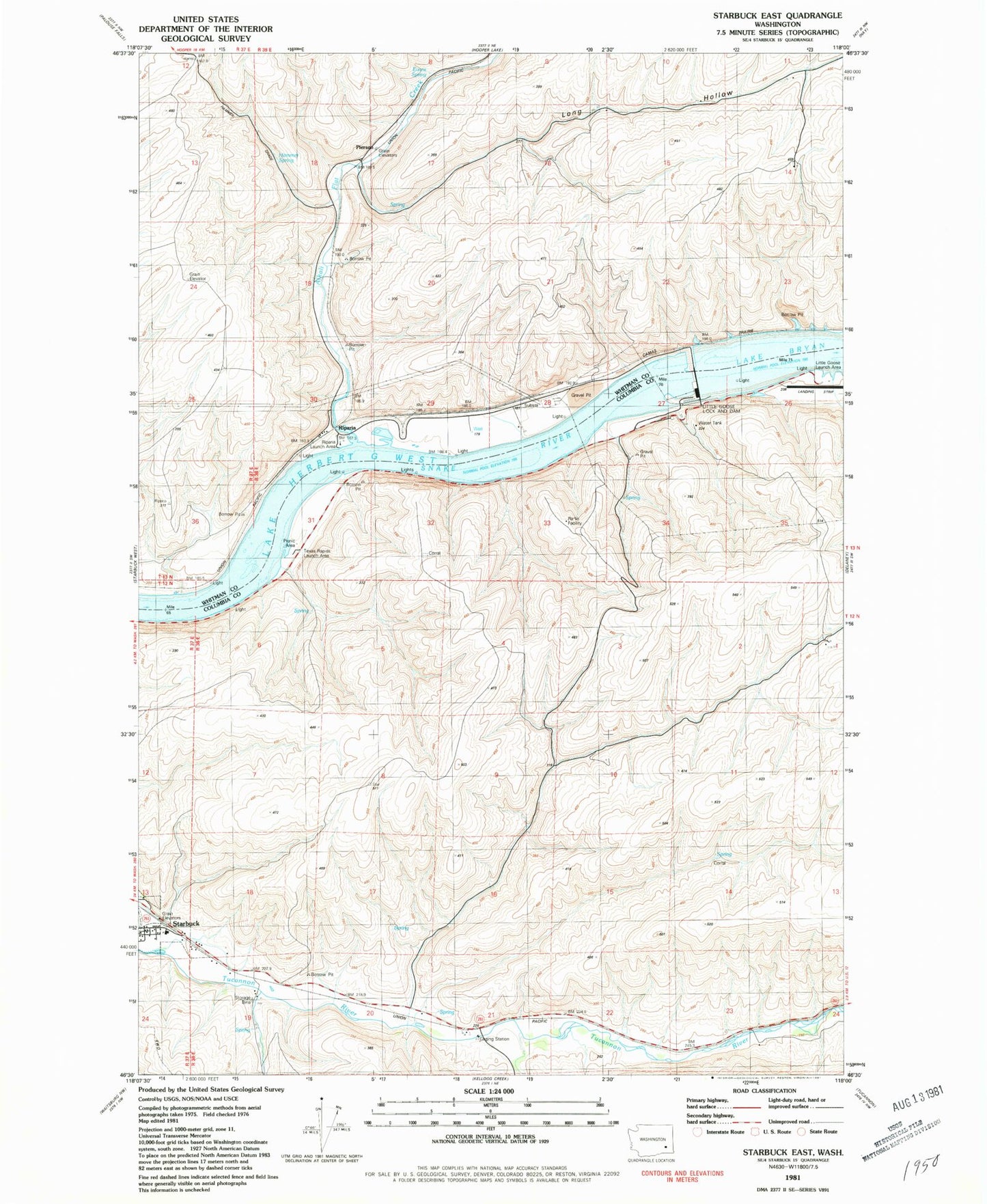
Classic USGS Starbuck East Washington 7.5'x7.5' Topo Map
Couldn't load pickup availability
Historical USGS topographic quad map of Starbuck East in the state of Washington. Map scale may vary for some years, but is generally around 1:24,000. Print size is approximately 24" x 27"
This quadrangle is in the following counties: Columbia, Whitman.
The map contains contour lines, roads, rivers, towns, and lakes. Printed on high-quality waterproof paper with UV fade-resistant inks, and shipped rolled.
Contains the following named places: Alkali Flat Creek, Evans Spring, Farrell Farm, Hammer Spring, Lake Bryan, Little Goose Dam Heliport, Little Goose Launch Area, Little Goose Lock and Dam, Little Goose Lock and Dam Airport, Long Hollow, McGuire Shoal, Riparia, Riparia Launch Area, Smith Hollow, Texas Rapids Launch Area, Town of Starbuck, Trudgeon Ranch, ZIP Code: 99359