MyTopo
Classic USGS Starbuck NW Minnesota 7.5'x7.5' Topo Map
Couldn't load pickup availability
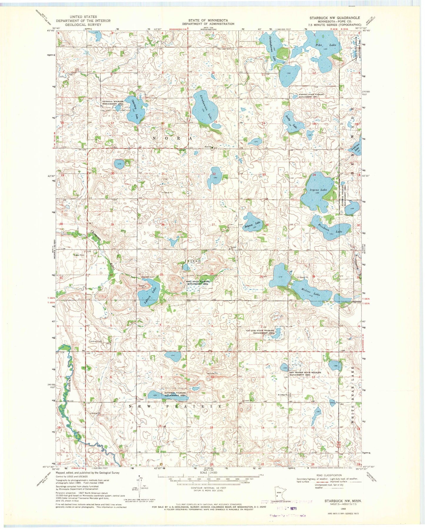
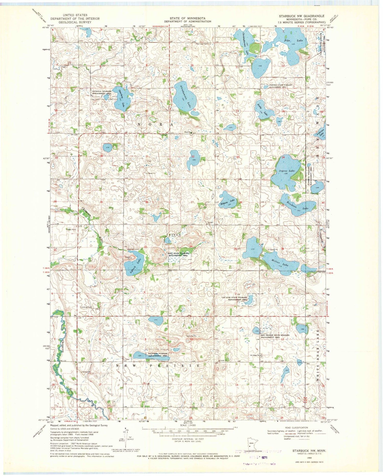
Historical USGS topographic quad map of Starbuck NW in the state of Minnesota. Map scale may vary for some years, but is generally around 1:24,000. Print size is approximately 24" x 27"
This quadrangle is in the following counties: Pope.
The map contains contour lines, roads, rivers, towns, and lakes. Printed on high-quality waterproof paper with UV fade-resistant inks, and shipped rolled.
Contains the following named places: Abrahamson Lake, Belgum Lake, Christopherson Lake, Erickson Lake, Irgens Lake, Lybeck Lake, Lybeck Lake Dam, McIver Lake, New Prairie State Wildlife Management Are, Nora Cemetery, Nora Church, Nora State Wildlife Management Area, Osterberg Lake, Osterberg Lake Dam, Pike Lake, Pike Lake Cemetery, Rosby Lake, Saint John's Cemetery, Saint Johns Church, Township of New Prairie, Township of Nora, Van Luik State Wildlife Management Area, ZIP Code: 56323