MyTopo
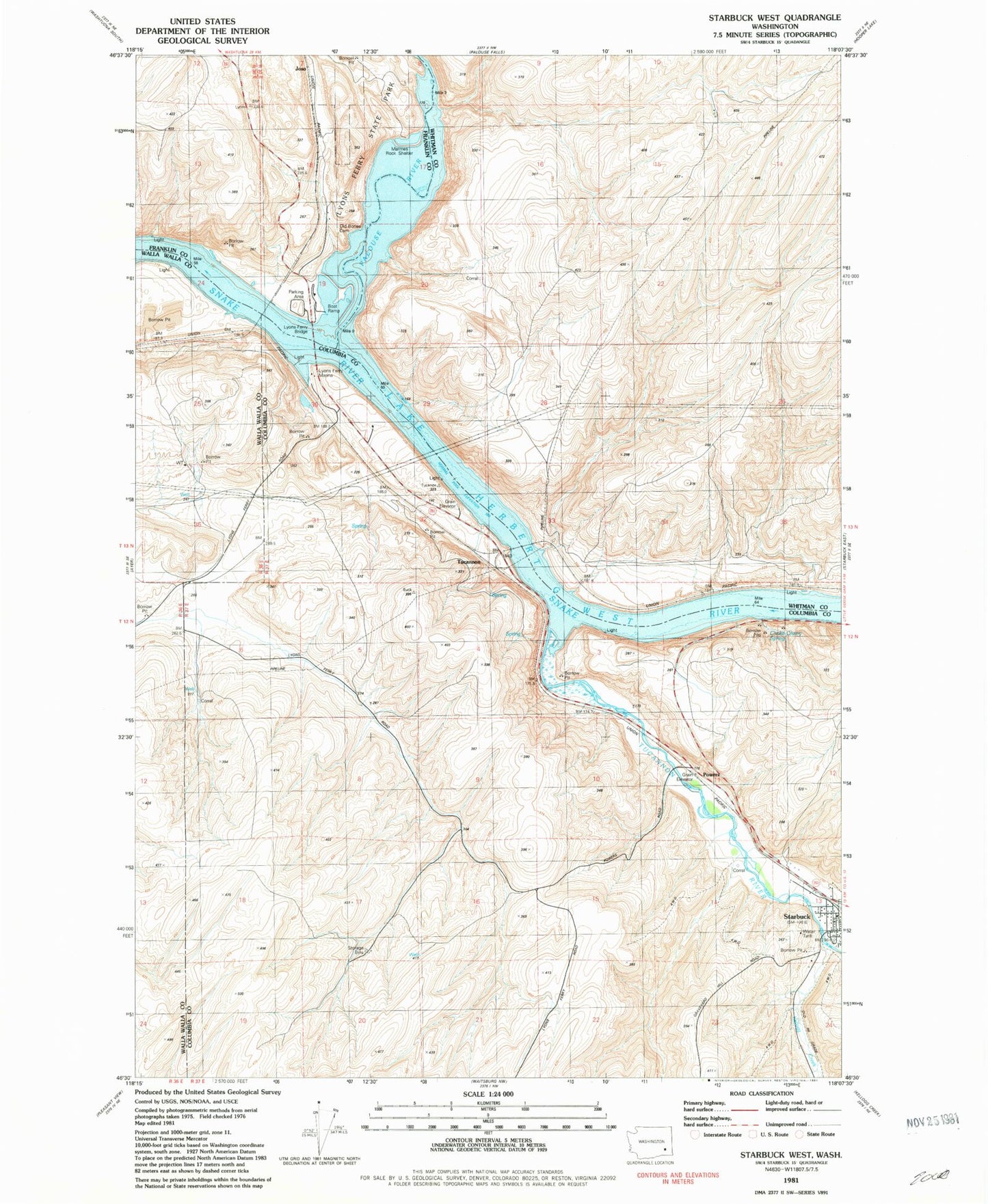
Classic USGS Starbuck West Washington 7.5'x7.5' Topo Map
Couldn't load pickup availability
Historical USGS topographic quad map of Starbuck West in the state of Washington. Map scale may vary for some years, but is generally around 1:24,000. Print size is approximately 24" x 27"
This quadrangle is in the following counties: Columbia, Franklin, Walla Walla, Whitman.
The map contains contour lines, roads, rivers, towns, and lakes. Printed on high-quality waterproof paper with UV fade-resistant inks, and shipped rolled.
Contains the following named places: Choke Cherry Canyon, Choke Cherry Spring, Columbia County Fire District 1, Fletcher Farm, Grange City, Joso, Kellogg Creek, Lake Herbert G West Reservation Area, Lyons Dam, Lyons Ferry, Lyons Ferry Bridge, Lyons Ferry Fish Hatchery, Lyons Ferry Marina, Lyons Ferry State Park, Marmes Rock Shelter, Old Bones Cemetery, Palouse River, Perry, Powers, Starbuck, Starbuck Post Office, Tucannon, Tucannon River, Tucker Farm