MyTopo
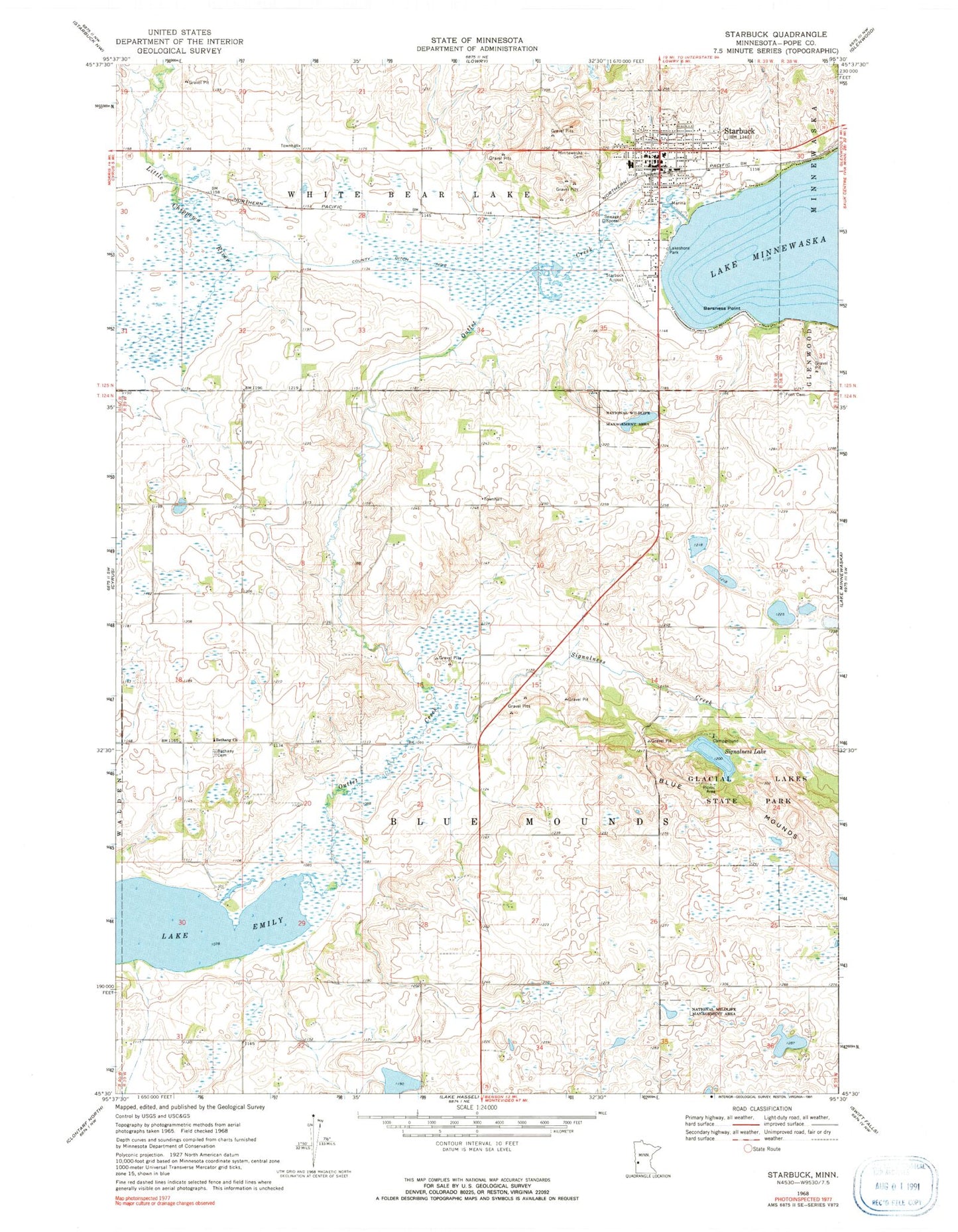
Classic USGS Starbuck Minnesota 7.5'x7.5' Topo Map
Couldn't load pickup availability
Historical USGS topographic quad map of Starbuck in the state of Minnesota. Map scale may vary for some years, but is generally around 1:24,000. Print size is approximately 24" x 27"
This quadrangle is in the following counties: Pope.
The map contains contour lines, roads, rivers, towns, and lakes. Printed on high-quality waterproof paper with UV fade-resistant inks, and shipped rolled.
Contains the following named places: Barsness Point, Bethany Cemetery, Bethany Church, City of Starbuck, County Ditch Number Two, Fron Cemetery, Fron Lutheran Church, Glacial Lakes State Park, Hobo Park, Hobo Park Campground, Holly Skogen, Lakeshore Park, Minnesaska Lutheran Church, Minnewaska Cemetery, Minnewaska District Hospital, Minnewaska Lutheran Home, Outlet Creek, Signalness Creek, Signalness Lake, Starbuck, Starbuck Clinic, Starbuck Depot, Starbuck Elementary School, Starbuck Fire Department, Starbuck Municipal Airport, Starbuck Police Department, Starbuck Post Office, Township of Blue Mounds, ZIP Code: 56381