MyTopo
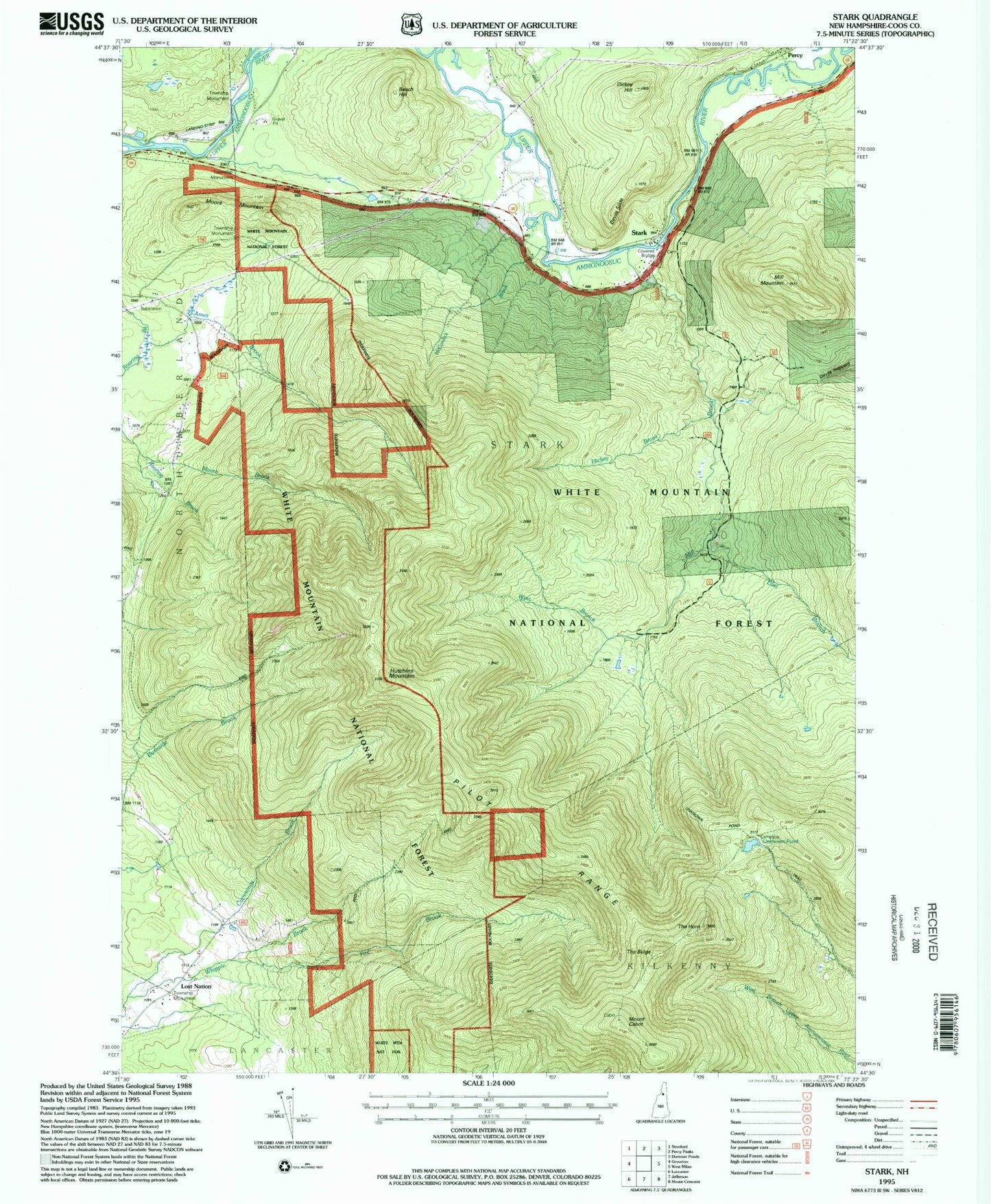
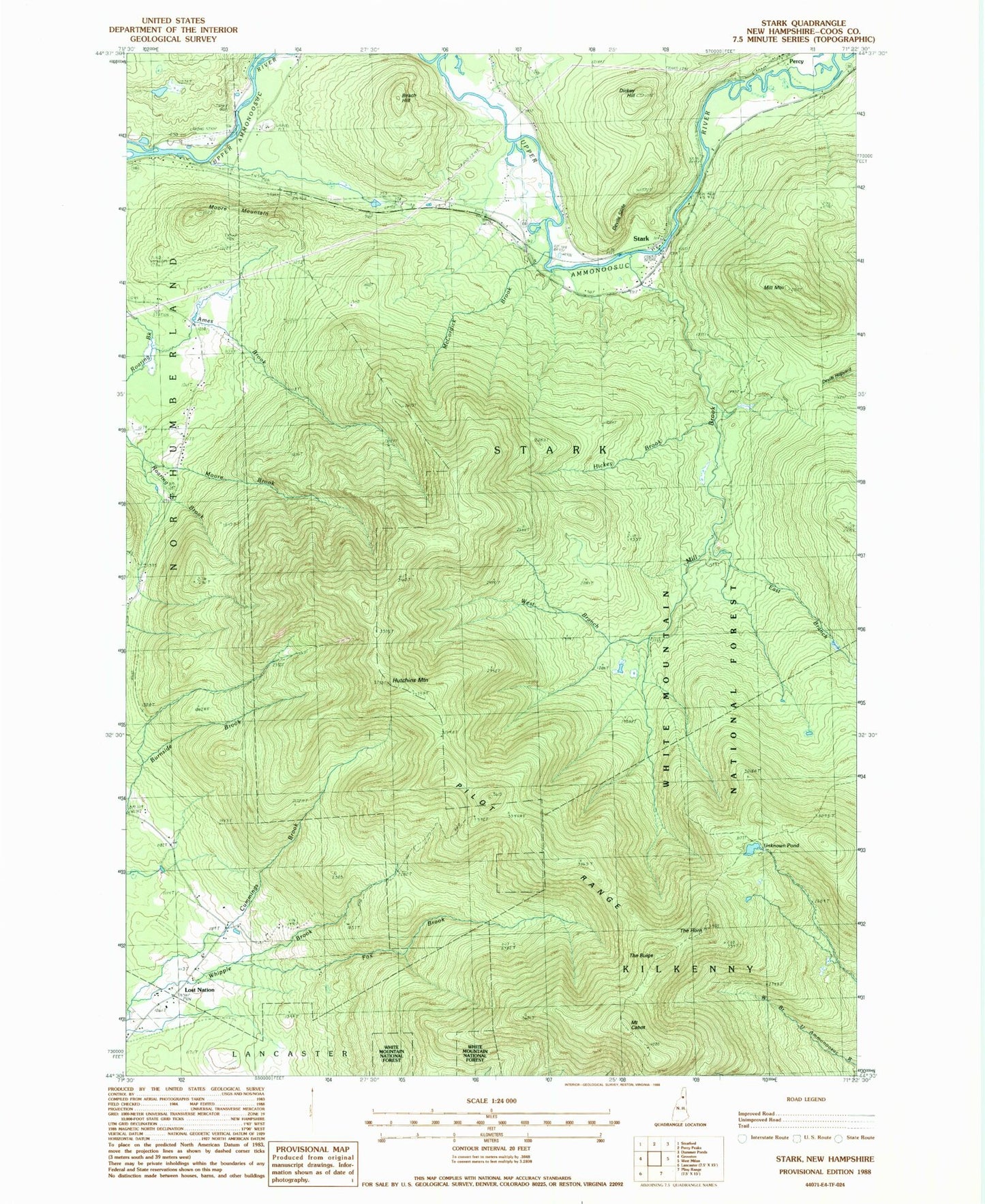
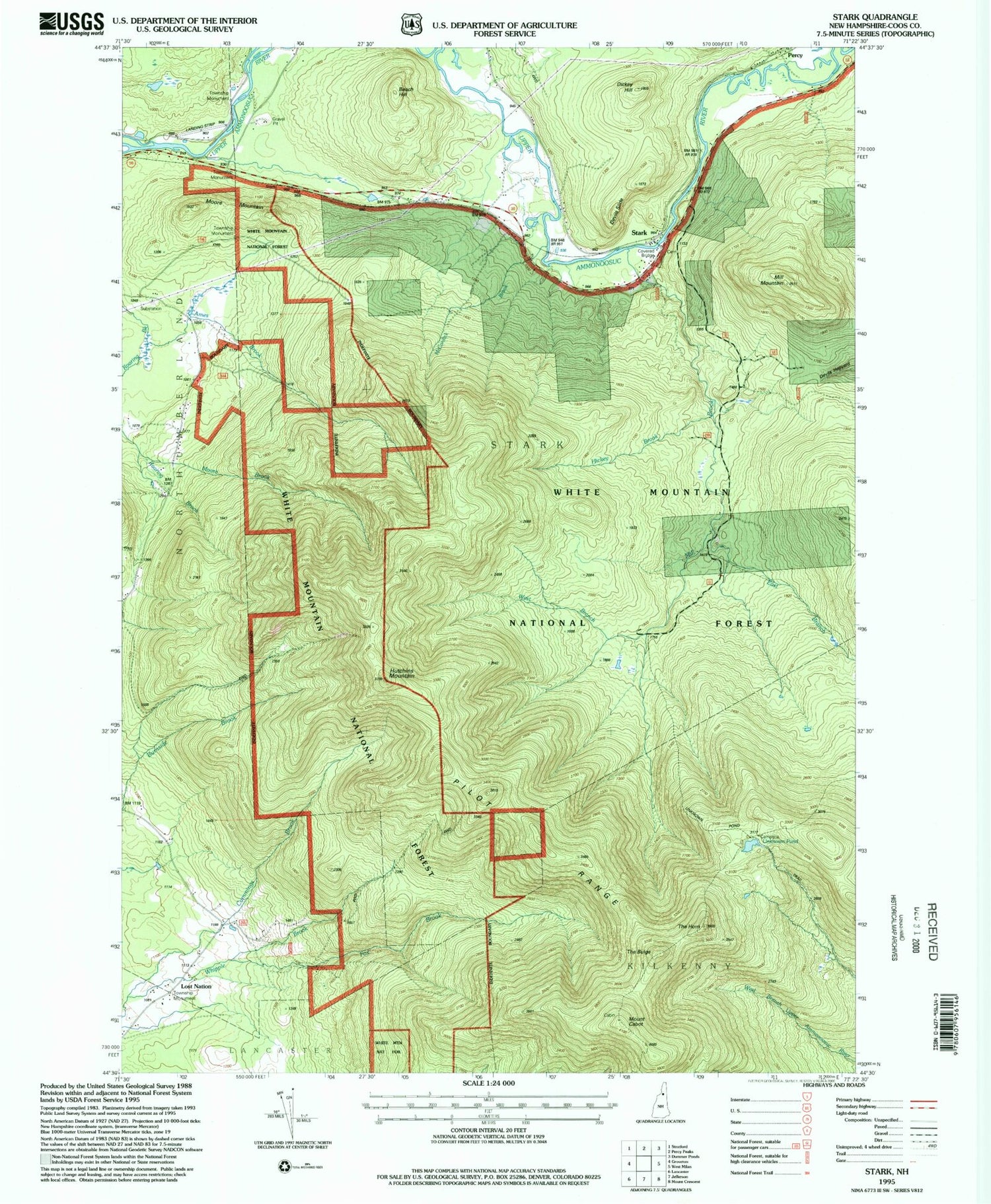
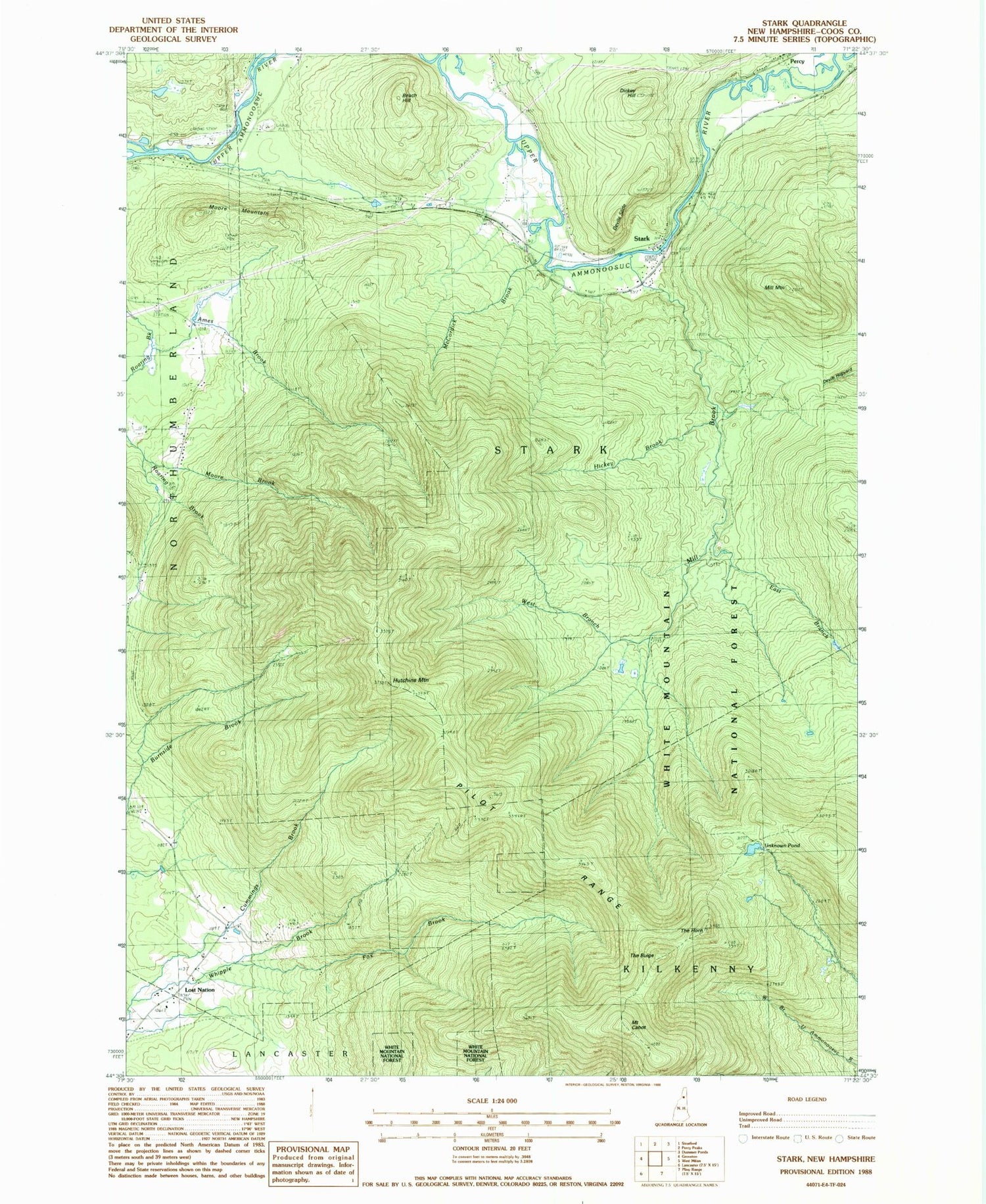
Classic USGS Stark New Hampshire 7.5'x7.5' Topo Map
Couldn't load pickup availability
Historical USGS topographic quad map of Stark in the state of New Hampshire. Typical map scale is 1:24,000, but may vary for certain years, if available. Print size: 24" x 27"
This quadrangle is in the following counties: Coos.
The map contains contour lines, roads, rivers, towns, and lakes. Printed on high-quality waterproof paper with UV fade-resistant inks, and shipped rolled.
Contains the following named places: Ames Brook, Beach Hill, Blake School, Mount Cabot, Cummings Brook, Cummings School, Dickey Hill, East Branch Mill Brook, Fox Brook, Hickey Brook, Hutchins Mountain, McCordick Brook, Mile Swamp, Mill Brook, Mill Mountain, Moore Mountain, Percy, Pilot Range, Rowells Brook, The Bulge, The Horn, Unknown Pond, West Branch Mill Brook, Lost Nation, Town of Stark, Devils Slide, Stark, Stark Bridge, Stark Union Church, Stark Village School, Stark Fire Department, Stark Police Department, Village Cemetery


