MyTopo
Classic USGS State Center NW Iowa 7.5'x7.5' Topo Map
Couldn't load pickup availability
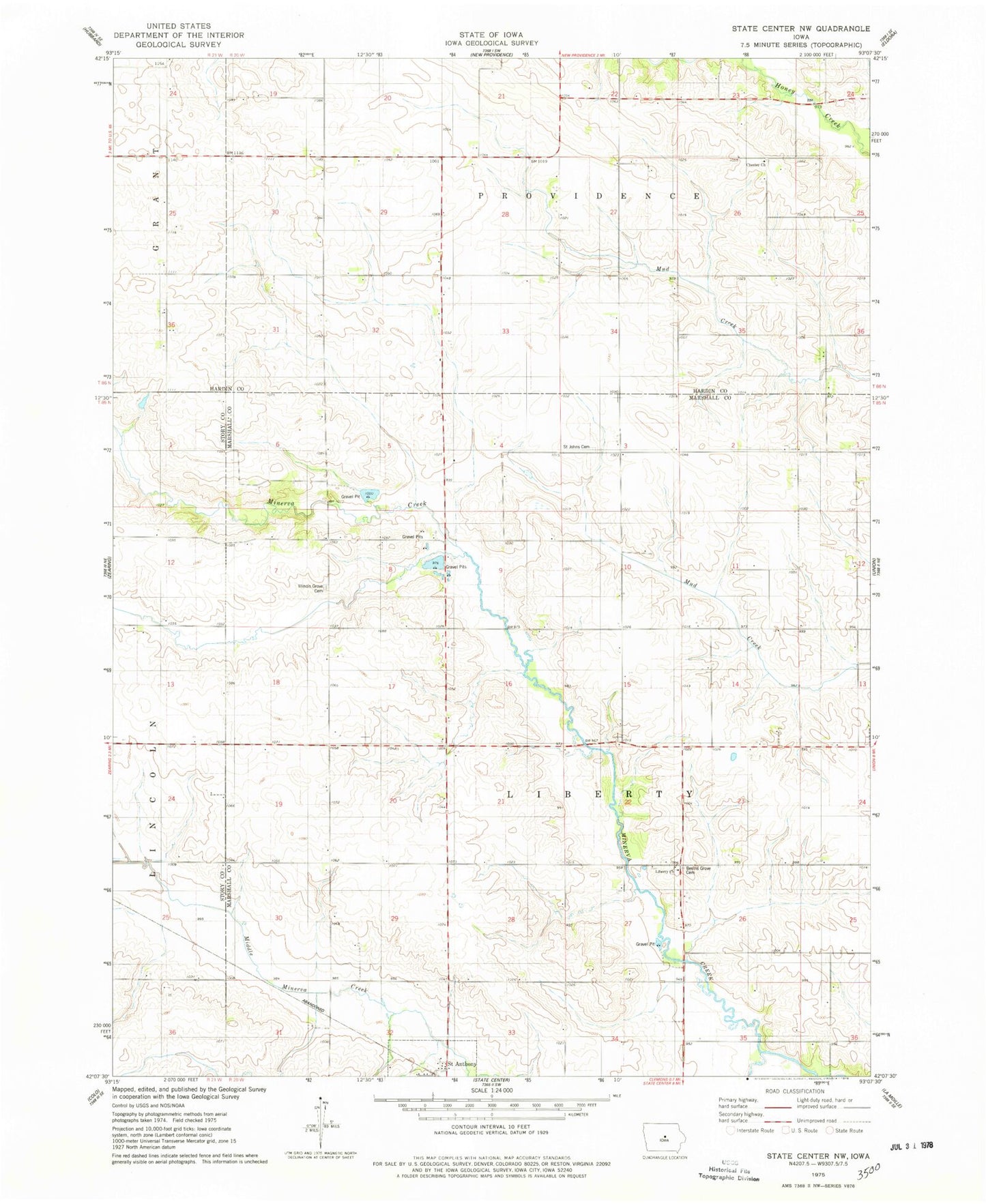
Historical USGS topographic quad map of State Center NW in the state of Iowa. Map scale may vary for some years, but is generally around 1:24,000. Print size is approximately 24" x 27"
This quadrangle is in the following counties: Hardin, Marshall, Story.
The map contains contour lines, roads, rivers, towns, and lakes. Printed on high-quality waterproof paper with UV fade-resistant inks, and shipped rolled.
Contains the following named places: Bevins Grove Cemetery, Bivens Grove, Chester Cemetery, Chester Church, Grove Post Office, Illinois Grove, Illinois Grove Cemetery, Illinois Grove Post Office, Liberty Church, Minerva Creek Bridge, Saint Anthony Post Office, Saint Johns Cemetery, South Minerva Creek, Township of Liberty, ZIP Codes: 50051, 50206, 50239