MyTopo
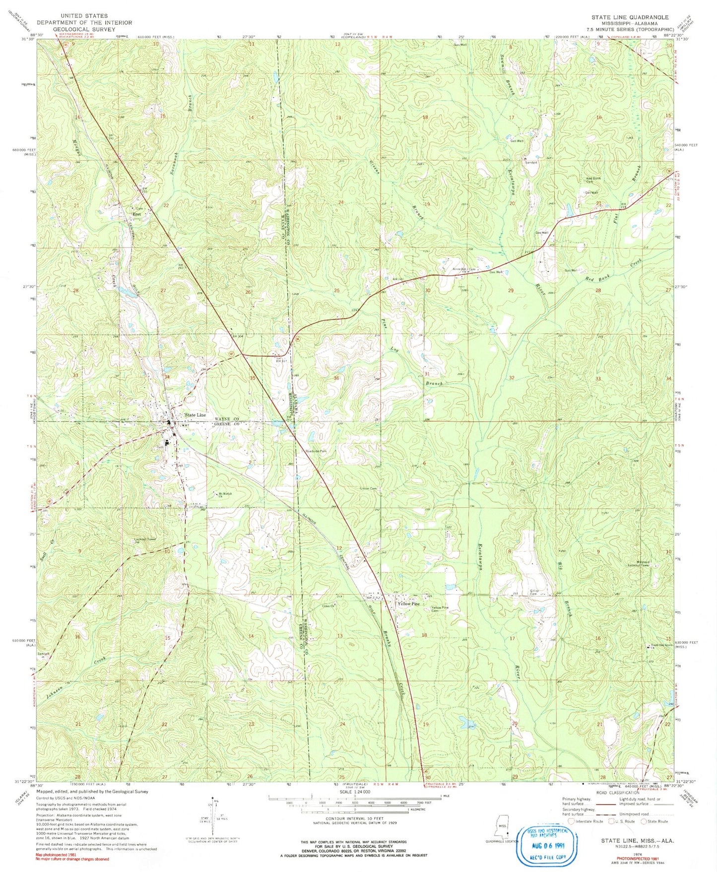
Classic USGS State Line Mississippi 7.5'x7.5' Topo Map
Couldn't load pickup availability
Historical USGS topographic quad map of State Line in the states of Mississippi, Alabama. Map scale may vary for some years, but is generally around 1:24,000. Print size is approximately 24" x 27"
This quadrangle is in the following counties: Greene, Washington, Wayne.
The map contains contour lines, roads, rivers, towns, and lakes. Printed on high-quality waterproof paper with UV fade-resistant inks, and shipped rolled.
Contains the following named places: Big Branch, Chatom Gas Field, Coaker Dam, Coaker Pond, Eret, First Baptist Church, Flat Branch, Gilley Cemetery, Givens Branch, Milstead Lookout Tower, Mount Moriah Church, Pine Log Branch, Red Bank Baptist Church, Red Bank Cemetery, Red Bank Creek, Savannah Branch, Sawmill Branch, Scott Paper Company Dam, Scott Paper Company Pond, Seven Oak Baptist Church, South Oak Grove Baptist Church, State Line, State Line Baptist Church, State Line Cemetery, State Line Police Department, State Line Post Office, State Line Volunteer Fire Department, Town of State Line, Union Baptist Church, Union Cemetery, Yellow Pine, Yellow Pine Baptist Church, Yellow Pine Cemetery, Yellow Pine Church of God