MyTopo
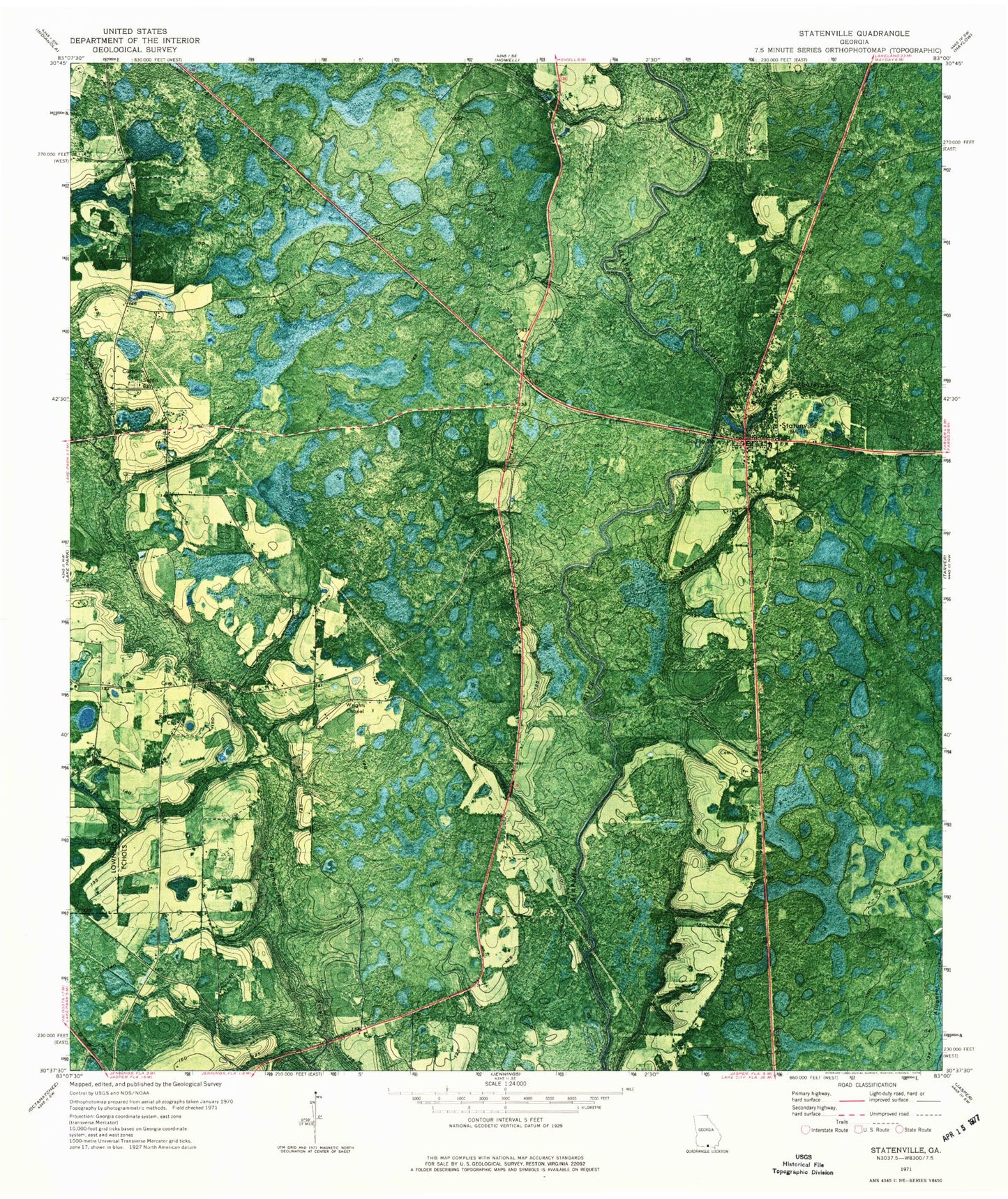
Classic USGS Statenville Georgia 7.5'x7.5' Topo Map
Couldn't load pickup availability
Historical USGS topographic quad map of Statenville in the state of Georgia. Map scale may vary for some years, but is generally around 1:24,000. Print size is approximately 24" x 27"
This quadrangle is in the following counties: Echols.
The map contains contour lines, roads, rivers, towns, and lakes. Printed on high-quality waterproof paper with UV fade-resistant inks, and shipped rolled.
Contains the following named places: Bethel Church, Carter Cemetery, Cranford Branch, Echols County Fire Department, Echols County High and Elementary School, Echols County Sheriff's Office, Enoch Creek, Kinsey Branch, Knights Branch, Long Branch, Sardis Church, Statenville, Statenville Census Designated Place, Statenville Post Office, Troublesome Creek, West Echols Division, WQPW-FM (Valdosta), Wrights Chapel, ZIP Codes: 31636, 31648