MyTopo
Classic USGS Statesville West North Carolina 7.5'x7.5' Topo Map
Couldn't load pickup availability
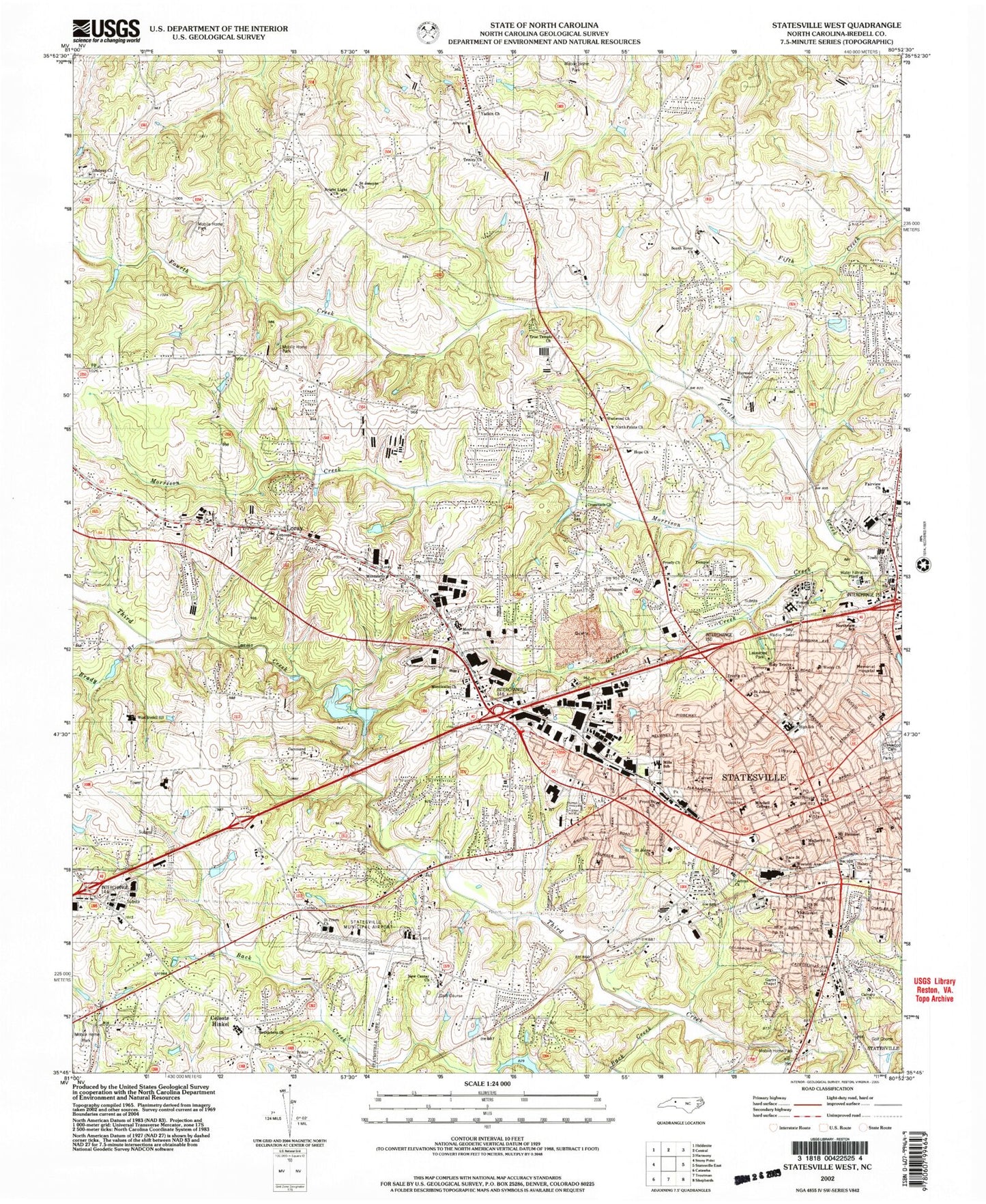
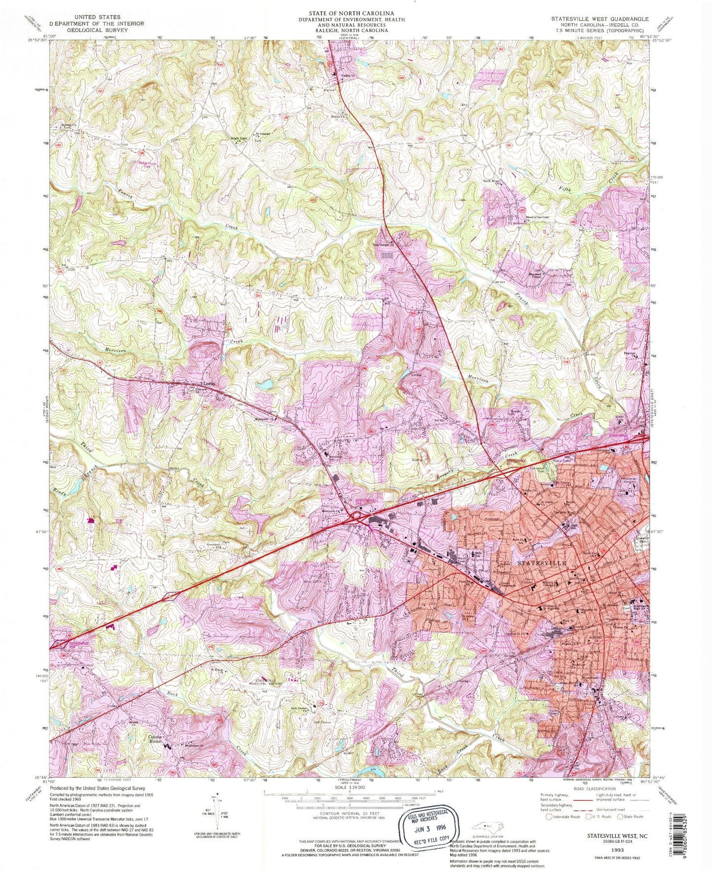
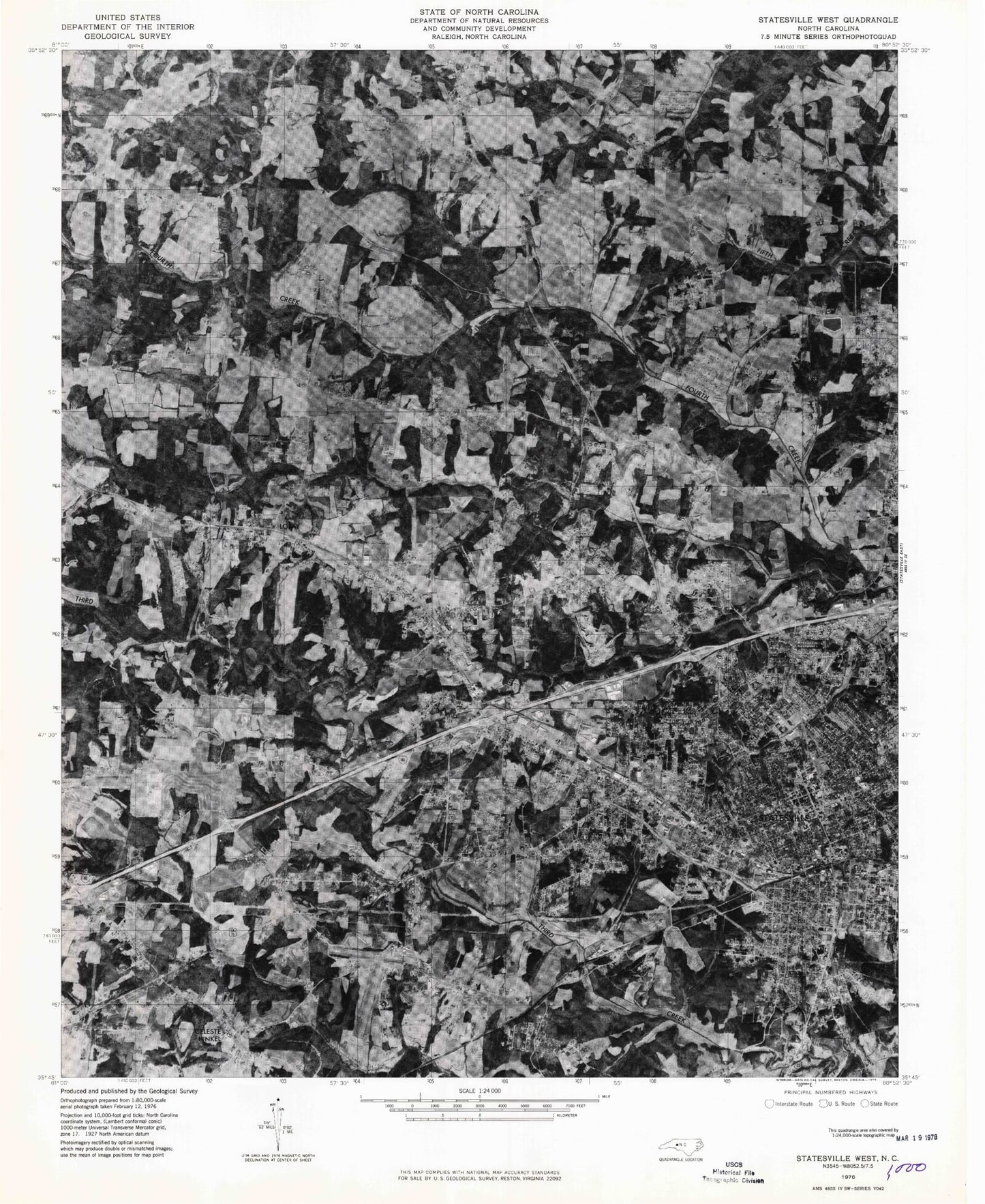
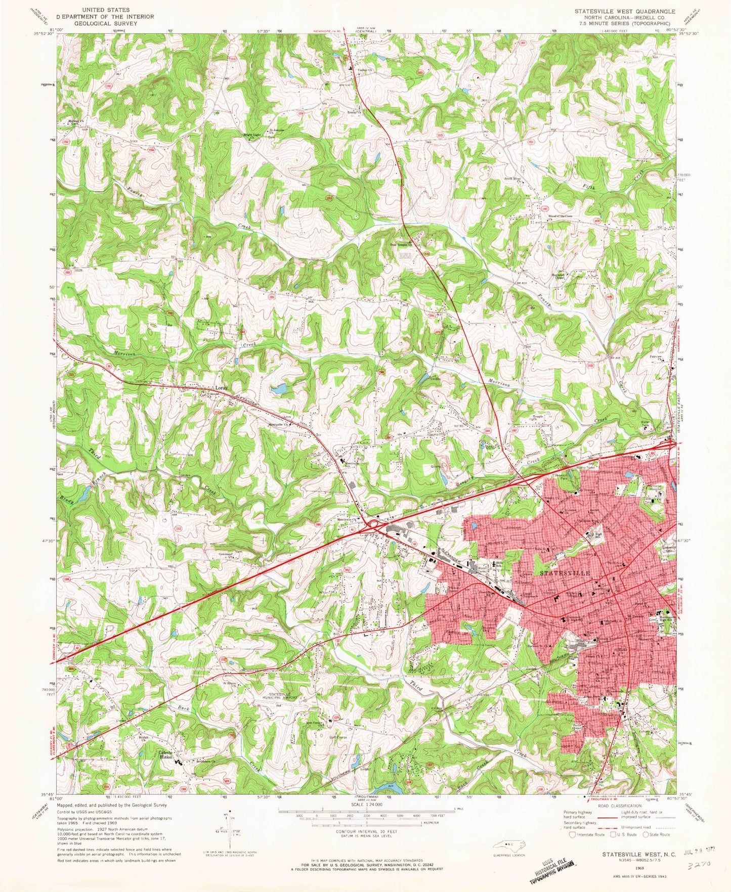
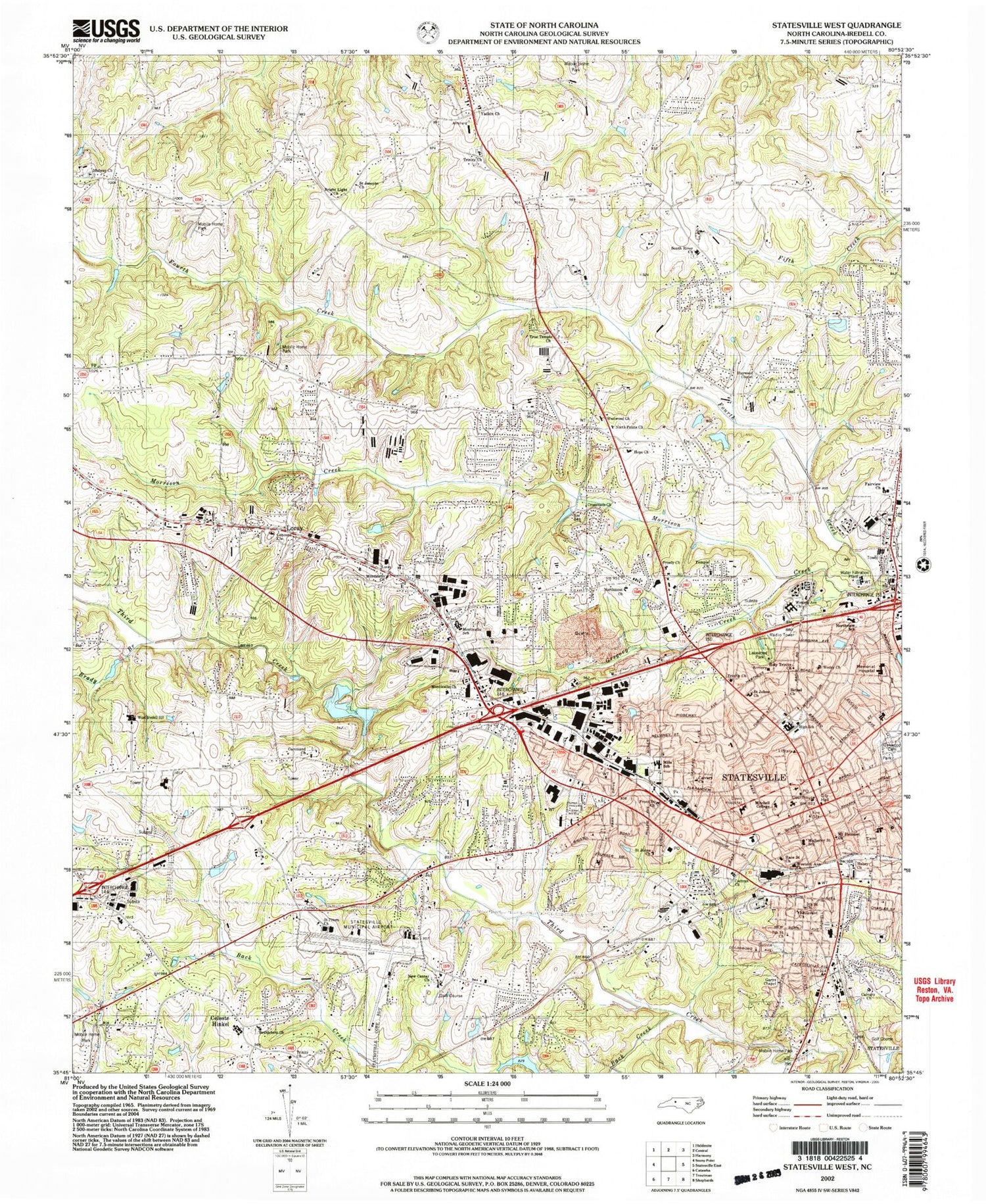
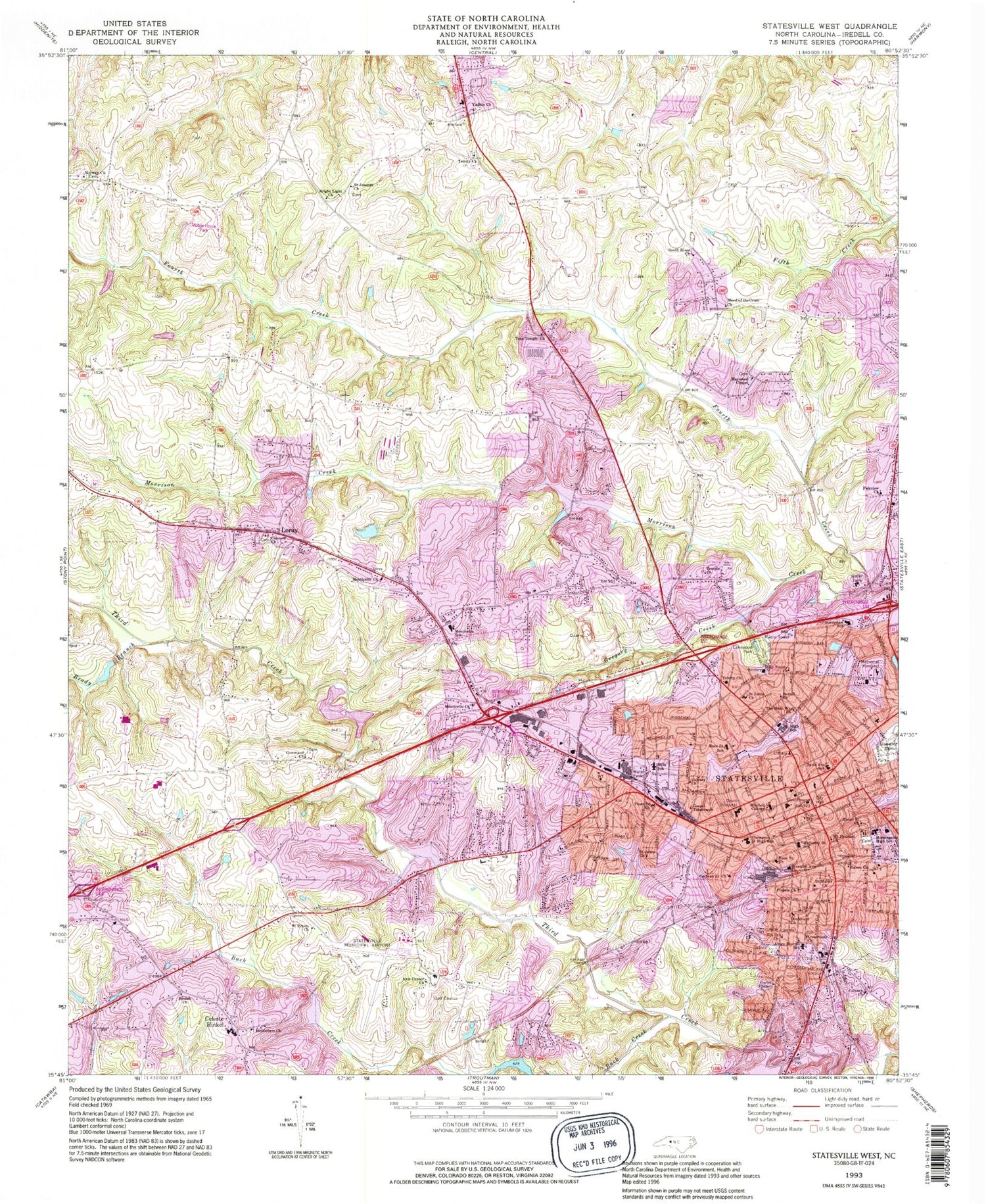
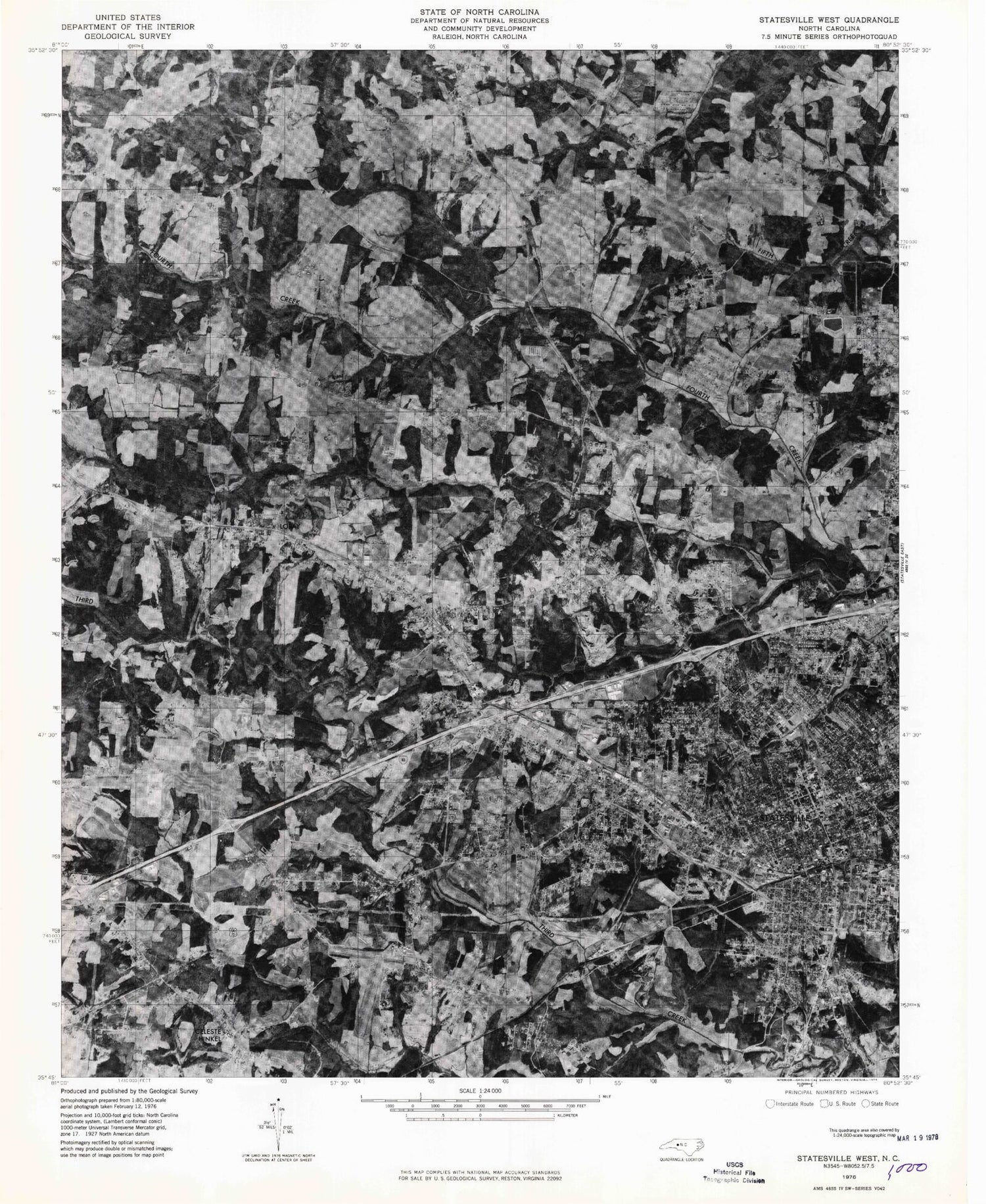
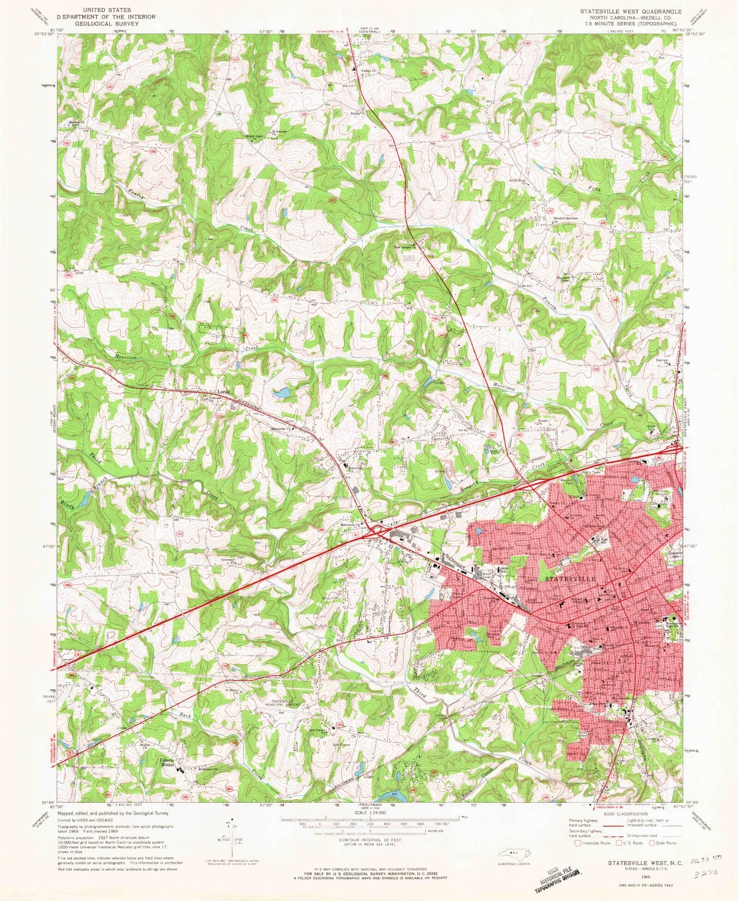
Historical USGS topographic quad map of Statesville West in the state of North Carolina. Map scale may vary for some years, but is generally around 1:24,000. Print size is approximately 24" x 27"
This quadrangle is in the following counties: Iredell.
The map contains contour lines, roads, rivers, towns, and lakes. Printed on high-quality waterproof paper with UV fade-resistant inks, and shipped rolled.
Contains the following named places: Abernathy Ball Field, Anderson Park, Arts and Science Museum, Ashbrook Park, Avery Sherrill School, Back Creek, Bethel Church, Bethlehem Church, Beulah Church, Beverly Heights, Blood of the Cross Church, Bloomfield, Bostian Heights, Boulevard Church, Brady Branch, Bright Light Church, Bristol Terrace, Broad Saint Church, Brookdale Lake, Calvary Church, Celeste Hinkel, Celeste Hinkel School, Chipley Park, Cloverdale, Cochran Saint Church, Colliers Lake Park, Command Church, Concord Church, Cowin, Crossroads Church, Davie Avenue School, Fairview Church, Fifth Saint Church, Forest Heights Shopping Center, Fort Dobbs, Fourth Creek Cemetery, Front Saint Church, Garys Chapel, Gateway Shopping Center, Gospel Tabernacle, Grace Park, Greencrest, Gregory Creek, Halsey Church, Haywood Chapel, Hickory Hills, Holy Trinity Church, I-40 Park, Iredell County Emergency Medical Center, Iredell County Rescue Squad, Iredell County Sheriff's Office, Iredell Memorial Hospital, J W Lackey Dam, Kenneth Raymer Lake, Kenneth Raymer Lake Dam, Kentwood Park, Kingswood, Lakeside, Lakewood Park, Lakewook Golf Course, Liberty Hill, Loray, Midway Church, Mills School, Mitchell College, Monticello, Monticello Church, Monticello Heights, Monticello School, Monticello Volunteer Fire Department, Morningside High School, Morrison Creek, Mount Pleasant Church, Mulberry Saint School, New Center Church, Noname, North Carolina State Highway Patrol Troop F District 4, Northmont, Northview, Northview School, Oakland Heights, Oakwood Cemetery, Pressly Church, Race Saint Church, Race Saint School, Saint Johns Church, Saint Josephs Church, Saint Marks Church, Saint Peters Church, Seventh Saint Church, Southern Bell Telephone Office, Southern Railroad Station, Southland Shopping Center, Starmount, Statesville, Statesville Fire Department Station 1, Statesville Fire Department Station 2, Statesville Police Department, Statesville Post Office, Statesville Quarry, Statesville Regional Airport, Statesville Senior High School, Statesville West, T S Stewart Dam, Temple Church, The Bible Way Church, The Connection Church, Thompson Junior High School, Town and Country Shopping Center, Township of Concord, Township of Statesville, Trinity Church, Trinity Volunteer Fire Department, True Temple Church, Vance House Museum, Washington Heights, Watts, Watts Park, Wendover Hills, West Iredell High School, West Iredell Middle School, West Park Shopping Center, West Statesville, Western Avenue Church, Westgate Shopping Center, Westover, Westwood, WFMX-FM (Statesville), Woods Drive Dam, Woods Drive Lake, WSIC-AM (Statesville), Yadkin Church, ZIP Code: 28625
