MyTopo
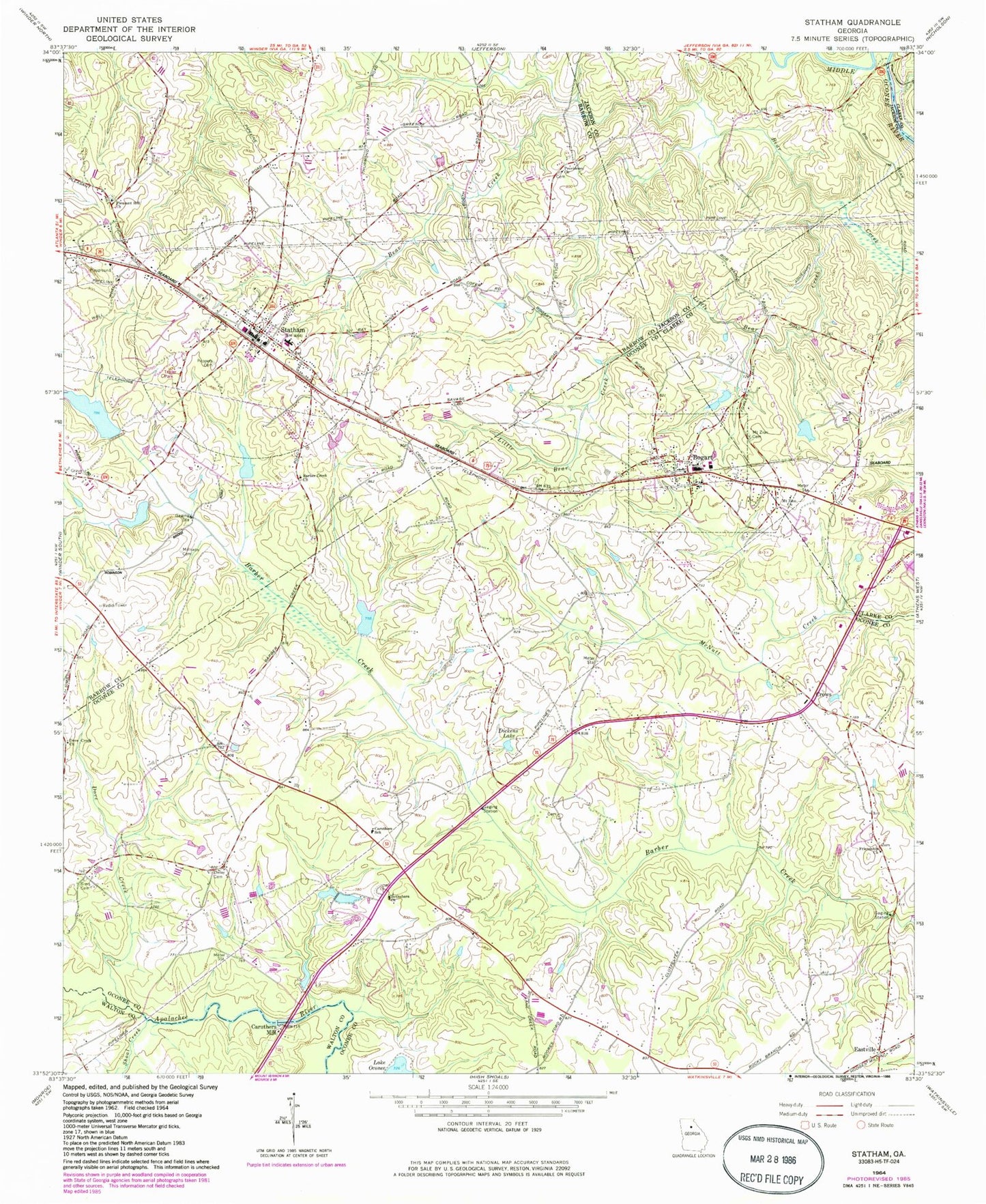
Classic USGS Statham Georgia 7.5'x7.5' Topo Map
Couldn't load pickup availability
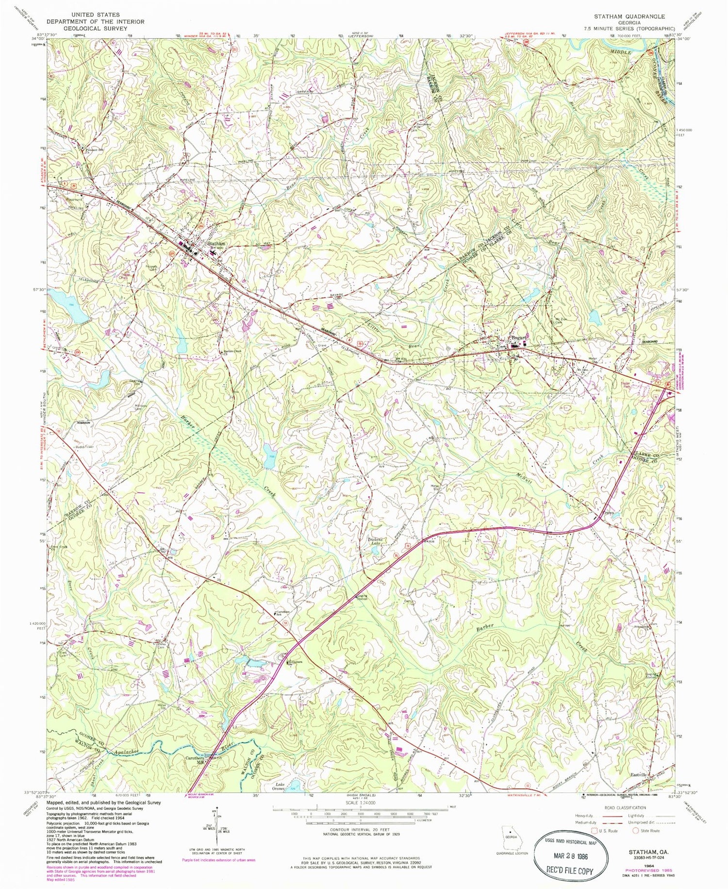
Historical USGS topographic quad map of Statham in the state of Georgia. Map scale may vary for some years, but is generally around 1:24,000. Print size is approximately 24" x 27"
This quadrangle is in the following counties: Barrow, Clarke, Jackson, Oconee, Walton.
The map contains contour lines, roads, rivers, towns, and lakes. Printed on high-quality waterproof paper with UV fade-resistant inks, and shipped rolled.
Contains the following named places: Allen, Arch Bridge, Ashland, Barber Creek, Barber Creek Church, Barber Creek Watershed Number 26 Dam, Barber Creek Watershed Structure 25 Dam, Barbers Creek School, Barrow County Fire Station Number 1, Bethabara Cemetery, Bethabara Church, Bogart, Bogart Church of Christ, Bogart Developmental Center, Bogart Division, Bogart Post Office, Camps Bridge, Caruthers Mill, Caruthers School, City of Statham, Cleveland Road Elementary School, Cleveland Station, Connecting Point Church, Cornerstone Church, Crows, Crows Academy, Dam Number 26, Deerbrook, Deerwood Estates, Delay Cemetery, Dickens Lake, Dove Creek, Dove Creek Church, Dove Creek School, Eastville, Englewood, Fernwood, Fowler Mill, Friendship Church, Frogtown, Gasaway Dam Number One, Gasaway Dam Number Two, Gasaway Lake Number One, Gasaway Lake Number Two, Greater Barber Creek Church, Greene, Griffiths Bridge, Harmony School, Little Bear Creek, Living Word Baptist Church, Malcolm Bridge, Malcolm Cemetery, Malcom Bridge Elementary School, Malcom Bridge Middle School, McLocklin Lake, Millsaps Cemetery, Mount Bethel School, Mount Zion Cemetery, Mount Zion Church, North Oconee High School, Oak Grove, Oconee County Fire Department Station 4, Oconee County Fire Department Station 7, Oddfellows Bridge, Osceola Village, Peppers Cemetery, Pine Ridge, Pleasant Hill Church, Pleasant Hills, Prince Avenue Baptist Church, Providence Church, Rocky Branch Elementary School, Shoal Creek, Sims Cemetery, Statham, Statham City Cemetery, Statham City Hall, Statham Division, Statham Elementary School, Statham Police Department, Statham Post Office, Sykes Bridge, Talassee Bridge, Talassee Shoals, Town of Bogart, Treadwell Bridge, Watershed Lake, Watershed Lake Dam, Watershed Number 9 Barber Creek Dam, ZIP Codes: 30622, 30666


