
MyTopo
Classic USGS Station Peak California 7.5'x7.5' Topo Map
Regular price
$16.95
Regular price
Sale price
$16.95
Unit price
per
Couldn't load pickup availability
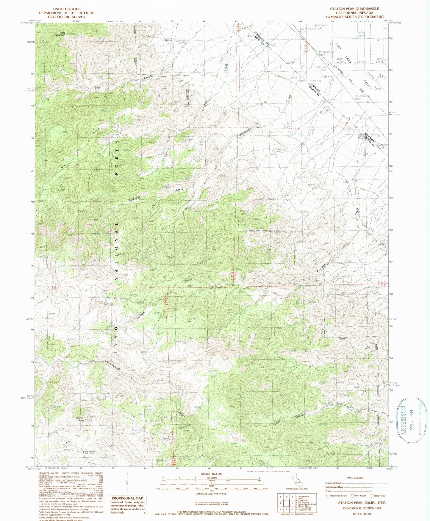
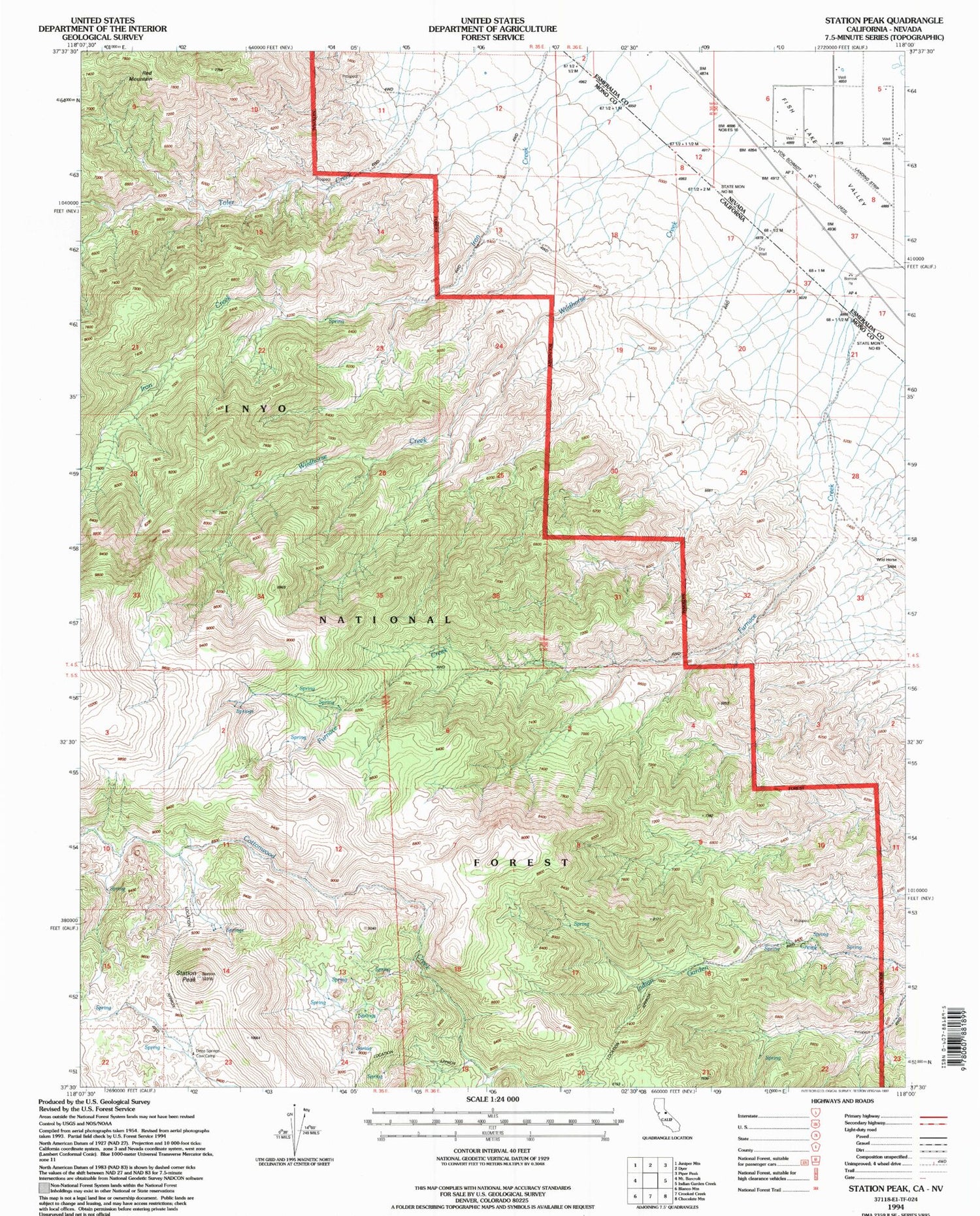
Historical USGS topographic quad map of Station Peak in the states of California, Nevada. Map scale may vary for some years, but is generally around 1:24,000. Print size is approximately 24" x 27"
This quadrangle is in the following counties: Esmeralda, Mono.
The map contains contour lines, roads, rivers, towns, and lakes. Printed on high-quality waterproof paper with UV fade-resistant inks, and shipped rolled.
Contains the following named places: Cottonwood Creek Wild and Scenic River, Deep Springs Cow Camp, Dyer Airport, Fish Lake Valley Fire Protection District, Furnace Creek, Red Mountain, Station Peak, Wildhorse Creek