MyTopo
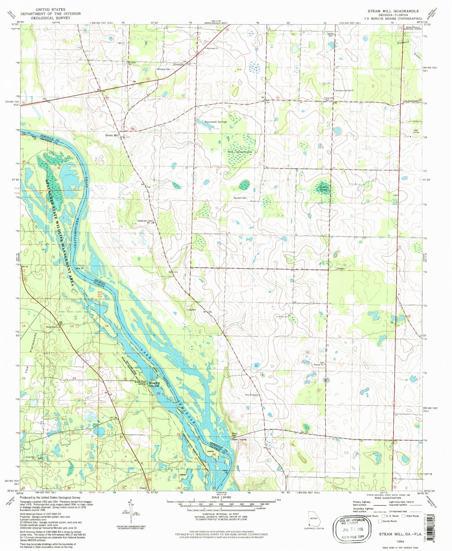
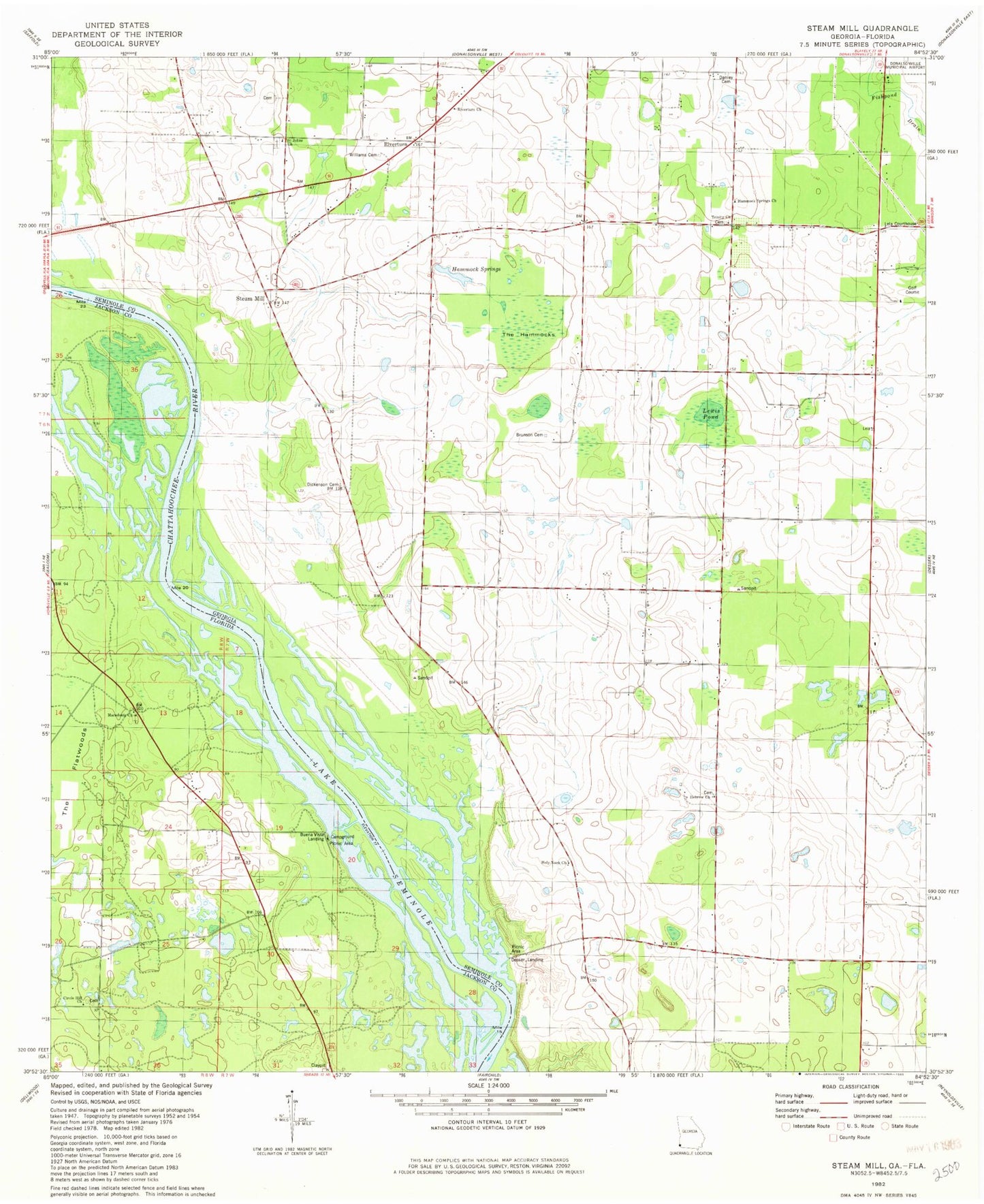
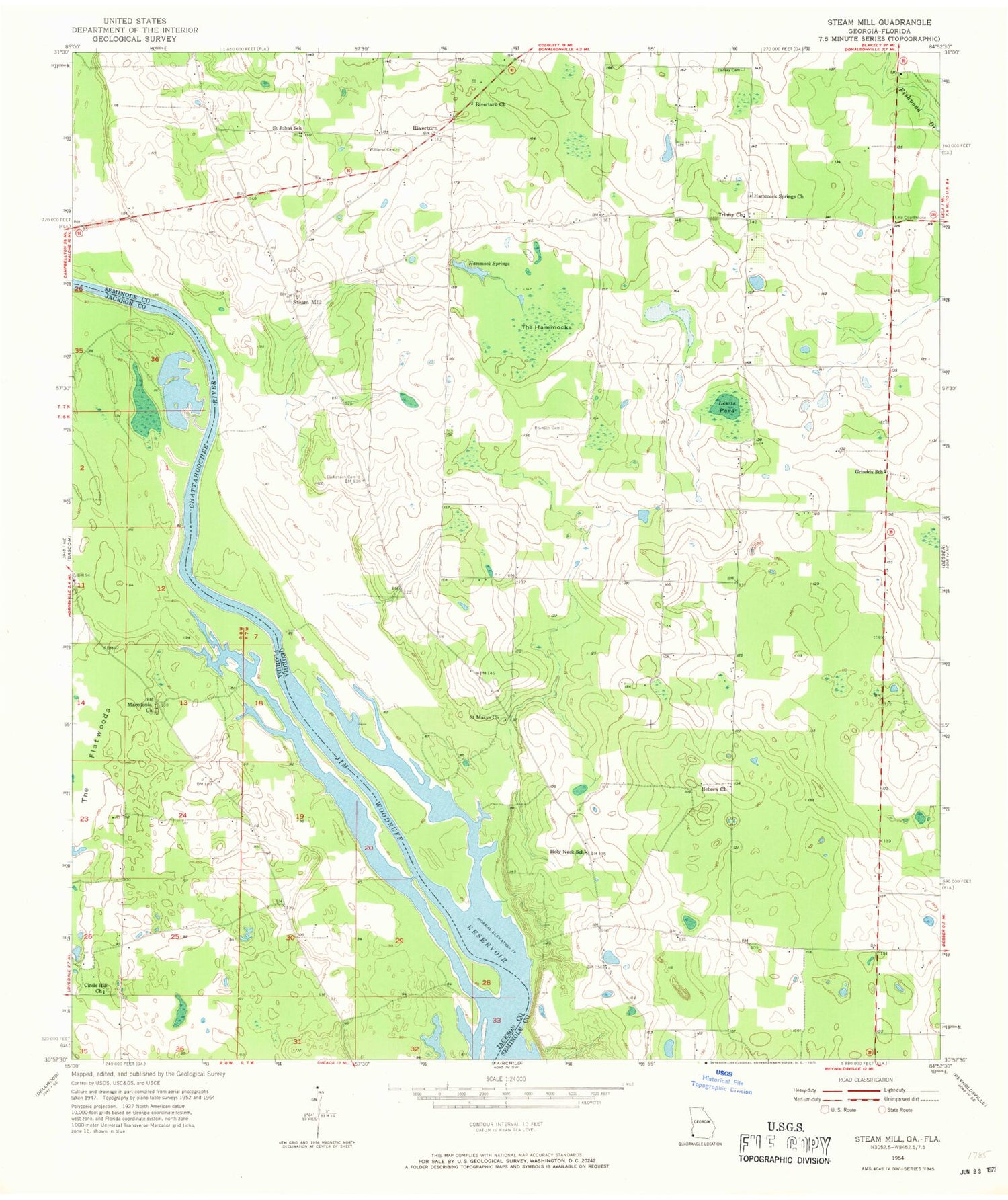
Classic USGS Steam Mill Georgia 7.5'x7.5' Topo Map
Couldn't load pickup availability
Historical USGS topographic quad map of Steam Mill in the states of Georgia, Florida. Map scale may vary for some years, but is generally around 1:24,000. Print size is approximately 24" x 27"
This quadrangle is in the following counties: Jackson, Seminole.
The map contains contour lines, roads, rivers, towns, and lakes. Printed on high-quality waterproof paper with UV fade-resistant inks, and shipped rolled.
Contains the following named places: Allen Cemetery, Brunson Cemetery, Circle Hill Church, Danley Cemetery, Desser Landing, Dickenson Cemetery, Green Willow Cemetery, Griselda School, Hammock Springs, Hammock Springs Church, Hebrew Church, Holy Neck Church, Holy Neck School, Lela Courthouse, Lewis Pond, Lynn Family Cemetery, Macedonia Church, Riverturn, Riverturn Church, Saint John A M E Cemetery, Saint Johns Church, Saint Johns School, Saint Marys Church, Steam Mill, Steam Mill Division, The Hammocks, Trinity Church, Williams Cemetery, ZIP Code: 39845