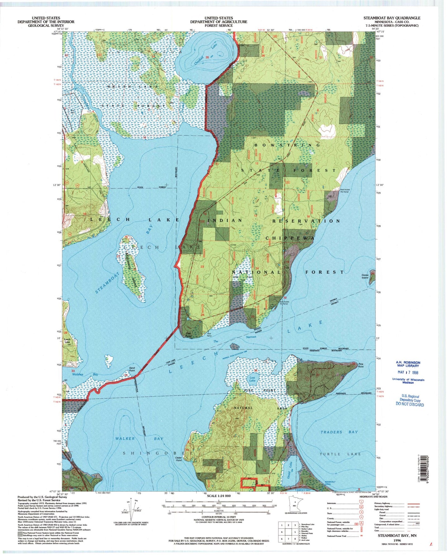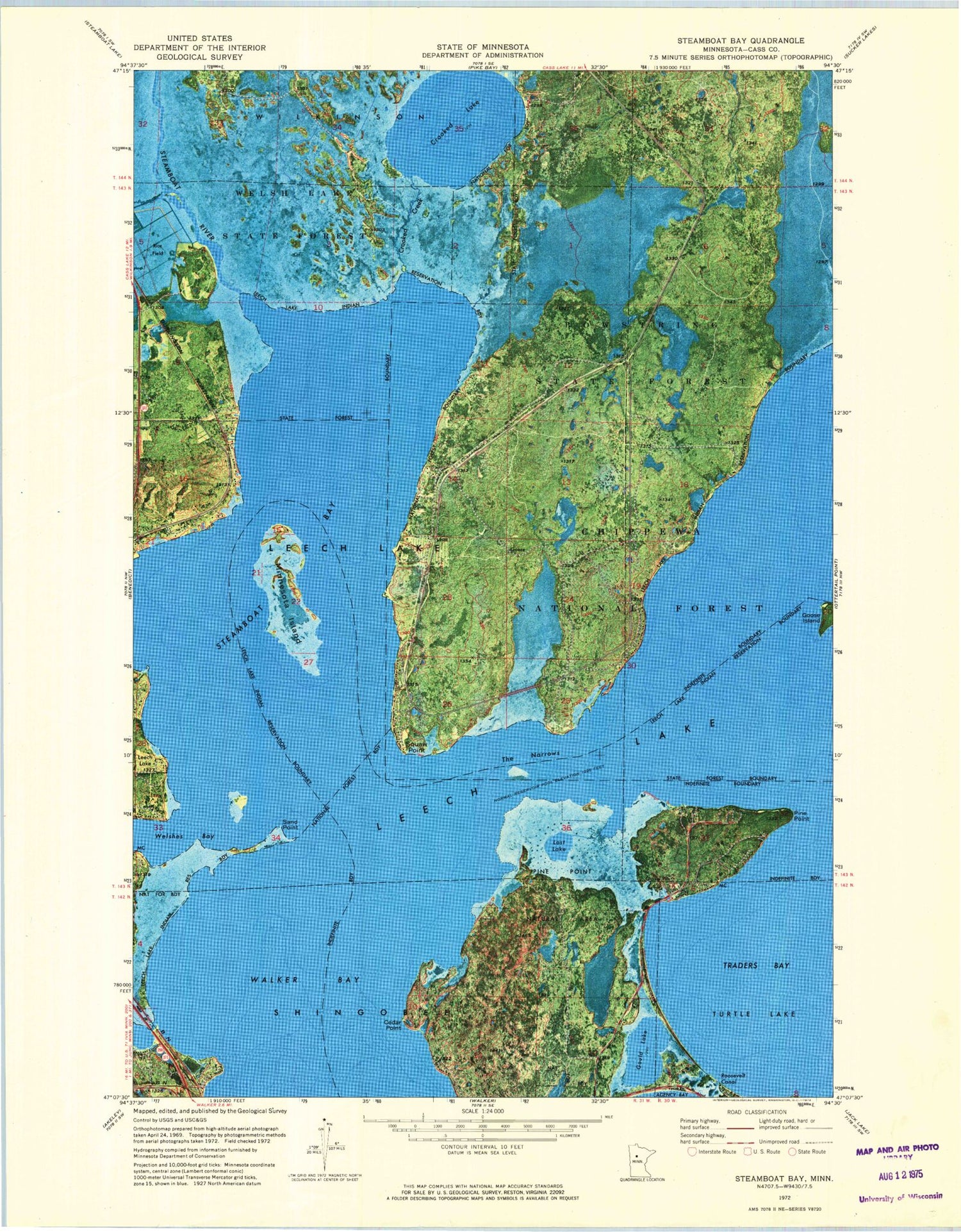
MyTopo
Classic USGS Steamboat Bay Minnesota 7.5'x7.5' Topo Map
Couldn't load pickup availability
Historical USGS topographic quad map of Steamboat Bay in the state of Minnesota. Map scale may vary for some years, but is generally around 1:24,000. Print size is approximately 24" x 27"
This quadrangle is in the following counties: Cass.
The map contains contour lines, roads, rivers, towns, and lakes. Printed on high-quality waterproof paper with UV fade-resistant inks, and shipped rolled.
Contains the following named places: Cedar Point, Crooked Creek, Crooked Lake, Goose Island, Gould Lake, Kabekona Bay, Lost Lake, Minnesota Island, Oak Point, Pine Point, Roosevelt Canal, Sand Point, Shores of Leech Lake Campground, Steamboat Bay, Steamboat River, The Narrows, Township of Leech Lake, Traders Bay, Welshes Bay