MyTopo
Classic USGS Steamboat Butte Montana 7.5'x7.5' Topo Map
Regular price
$16.95
Regular price
Sale price
$16.95
Unit price
per
Couldn't load pickup availability
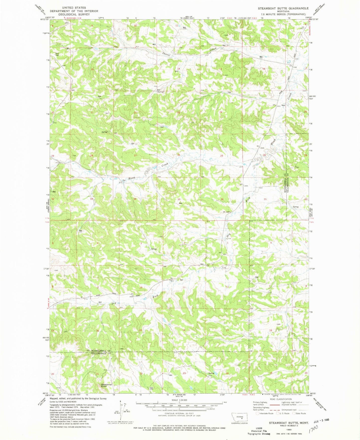
Historical USGS topographic quad map of Steamboat Butte in the state of Montana. Map scale may vary for some years, but is generally around 1:24,000. Print size is approximately 24" x 27"
This quadrangle is in the following counties: Musselshell, Yellowstone.
The map contains contour lines, roads, rivers, towns, and lakes. Printed on high-quality waterproof paper with UV fade-resistant inks, and shipped rolled.
Contains the following named places: 06N29E04BBCB01 Well, 06N29E05AADB01 Well, 06N29E11BDAD01 Well, 07N29E21CCCC01 Well, Dry Fork Hawk Creek, Shovel Creek, Steamboat Butte, Stephen Number 1 Dam