MyTopo
Classic USGS Steamboat Oregon 7.5'x7.5' Topo Map
Couldn't load pickup availability
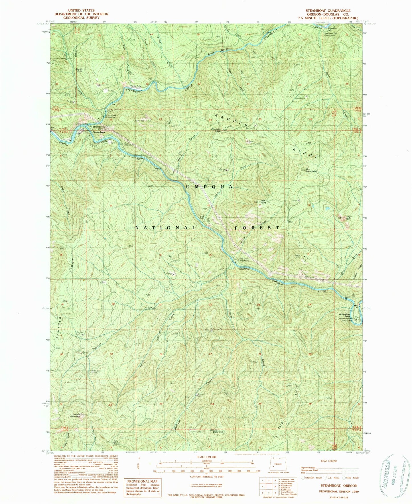
Historical USGS topographic quad map of Steamboat in the state of Oregon. Map scale may vary for some years, but is generally around 1:24,000. Print size is approximately 24" x 27"
This quadrangle is in the following counties: Douglas.
The map contains contour lines, roads, rivers, towns, and lakes. Printed on high-quality waterproof paper with UV fade-resistant inks, and shipped rolled.
Contains the following named places: Apple Creek, Apple Creek Recreation Site, Bachelor Butte, Bachelor Creek, Black Creek, Black Gorge, Bloody Point, Canton Creek, Canton Creek Recreation Site, Deep Creek, Dog Creek, Dog Mountain, Elkhorn Camp, Fairy Creek, Fairy Shelter, Grass Creek, Horseshoe Bend, Horseshoe Bend Recreation Site, Island Recreation Site, Jack Creek, Jack Falls, Jack Point, Limpy Creek, Limpy Rock, Little Falls, Lookout Mountain, Loughs Mine, North Umpqua Wild and Scenic River, Panther Creek, Panther Ridge, Panther Trail, Part Creek, Redman Creek, Redmans Tooth, Siwash Creek, Spring Creek, Station Creek, Steamboat, Steamboat Creek, Steamboat Falls, Steamboat Falls Recreation Site, Steamboat Point, Steelhead Creek, United States Forest Service North Umpqua Ranger District Steamboat Workstation, Winslow Cabin Spring


