MyTopo
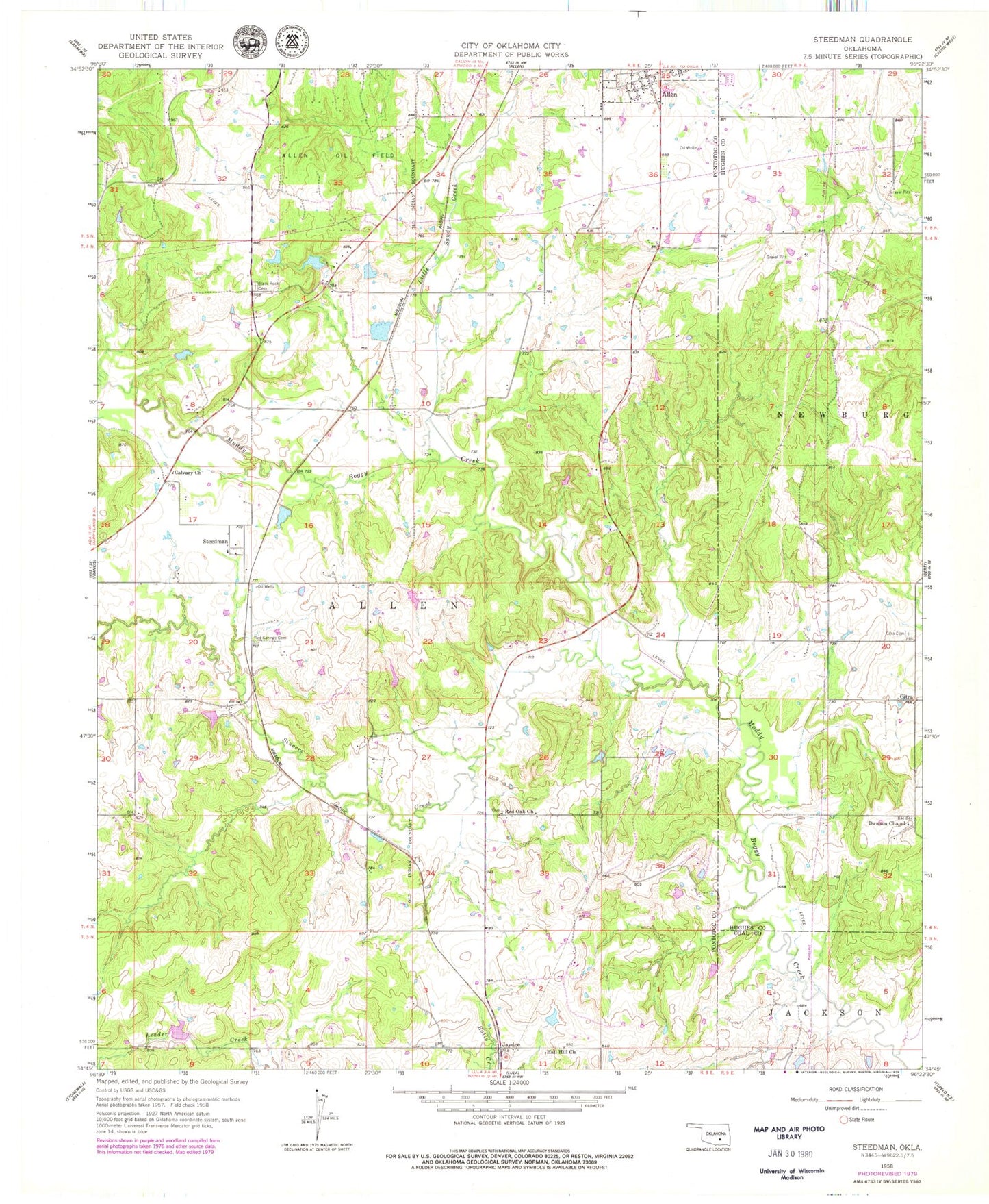
Classic USGS Steedman Oklahoma 7.5'x7.5' Topo Map
Couldn't load pickup availability
Historical USGS topographic quad map of Steedman in the state of Oklahoma. Map scale may vary for some years, but is generally around 1:24,000. Print size is approximately 24" x 27"
This quadrangle is in the following counties: Coal, Hughes, Pontotoc.
The map contains contour lines, roads, rivers, towns, and lakes. Printed on high-quality waterproof paper with UV fade-resistant inks, and shipped rolled.
Contains the following named places: Allen Sportsman Dam, Allen Sportsman Lake, Billy Yardbrough Dam, Billy Yardbrough Reservoir, Black Rock Cemetery, Calvary Church, Citra, Citra Cemetery, Dawson Chapel, Earl Boyd Dam, Earl Boyd Reservoir, Hall Hill Church, Jaydee, Kalhoma Indian Reservation, Leader Middle Clear Boggy Creek 22 Dam, Leader Middle Clear Boggy Creek 22 Reservoir, Little Sandy Creek, Oknoname 123012 Dam, Oknoname 123012 Reservoir, Oknoname 123013 Dam, Oknoname 123013 Reservoir, Red Oak Cemetery, Red Oak Church, Red Springs Cemetery, Sincere Creek, Steedman, Town Branch, Township of Allen, Upper Muddy Boggy Site 6 Dam, Upper Muddy Boggy Site 6 Reservoir, ZIP Code: 74825