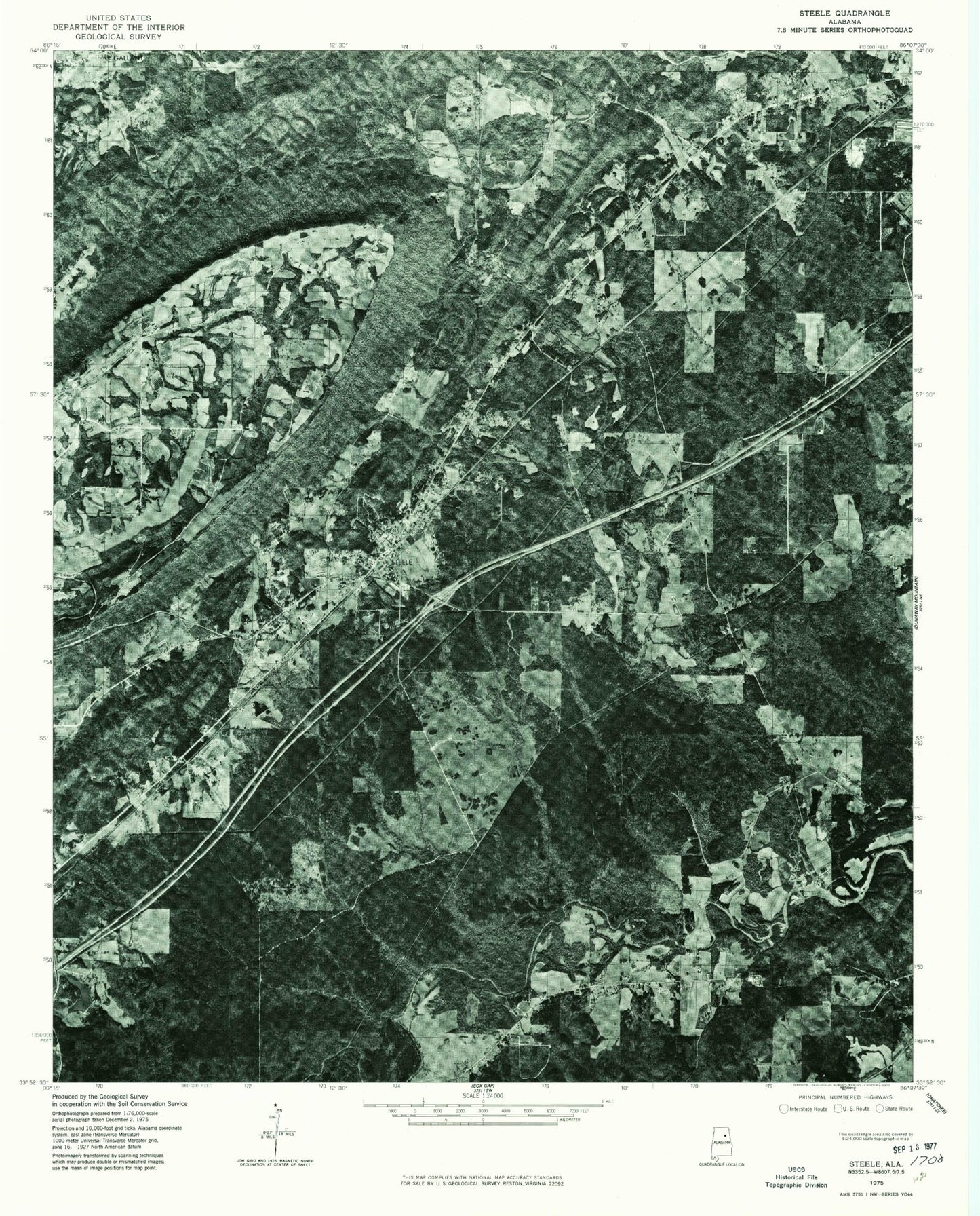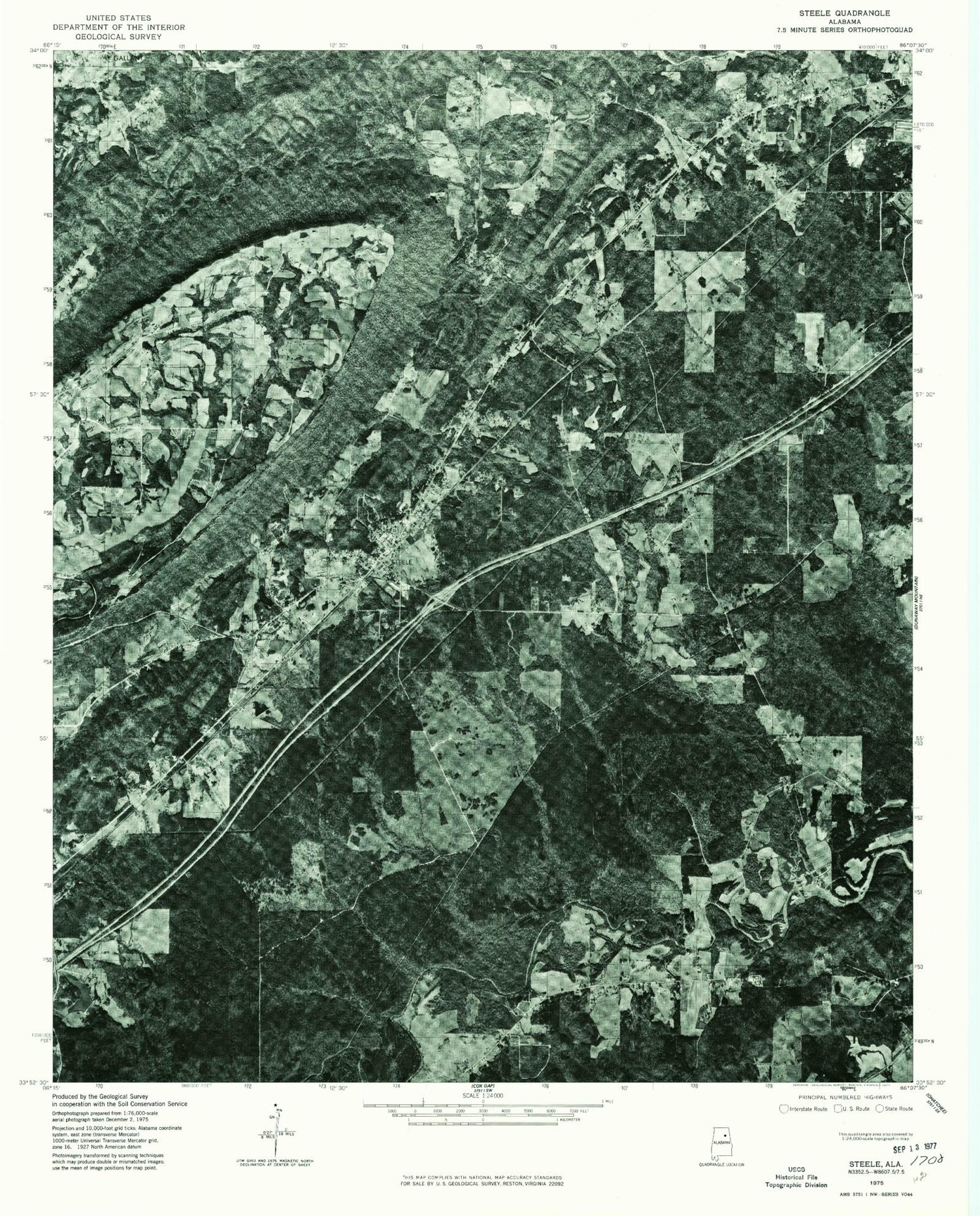
MyTopo
Classic USGS Steele Alabama 7.5'x7.5' Topo Map
Couldn't load pickup availability
Historical USGS topographic quad map of Steele in the state of Alabama. Map scale may vary for some years, but is generally around 1:24,000. Print size is approximately 24" x 27"
This quadrangle is in the following counties: Etowah, St. Clair.
The map contains contour lines, roads, rivers, towns, and lakes. Printed on high-quality waterproof paper with UV fade-resistant inks, and shipped rolled.
Contains the following named places: Ashville Division, Canoe Creek Valley, Chandler Mountain Church, Chandler Mountain Dam, Chandler Mountain Lake, Chandler Mountain Volunteer Fire Department, Chandler Natural Bridge, City of Rainbow City, Crews Mill, Curtiston Elementary School, Deerman Chapel Cemetery, Deerman's Chapel United Methodist Church, Dobbs Mill, Ezell Jenkins Dam, Ezell Jenkins Lake, Gallant, Gallant Cemetery, Gallant Elementary School, Gallant Missionary Baptist Church, Gallant Post Office, Gallant Volunteer Fire Department, Gilbert, Harmony Church of God, Hood, Hopewell Baptist Church, Lake Rumac, Little Canoe Creek, Littles Dam, Littles Lake, Millers Creek, Pilgrims Rest Primitive Baptist Church, Pleasant Hill Church, Pope Dam, Pope Lake, Ramsey, Red Mountain, Rumac Dam, Shahan, Shiloh, Shiloh Cemetery, Shiloh Primitive Baptist Church, Shirley Spring, Steele, Steele Fire Department, Steele Junior High School, Steele Post Office, Town of Steele, Wesson Dam, Wessons Lake, WQEN-FM (Gadsden), ZIP Codes: 35972, 35987