MyTopo
Classic USGS Steele Missouri 7.5'x7.5' Topo Map
Couldn't load pickup availability
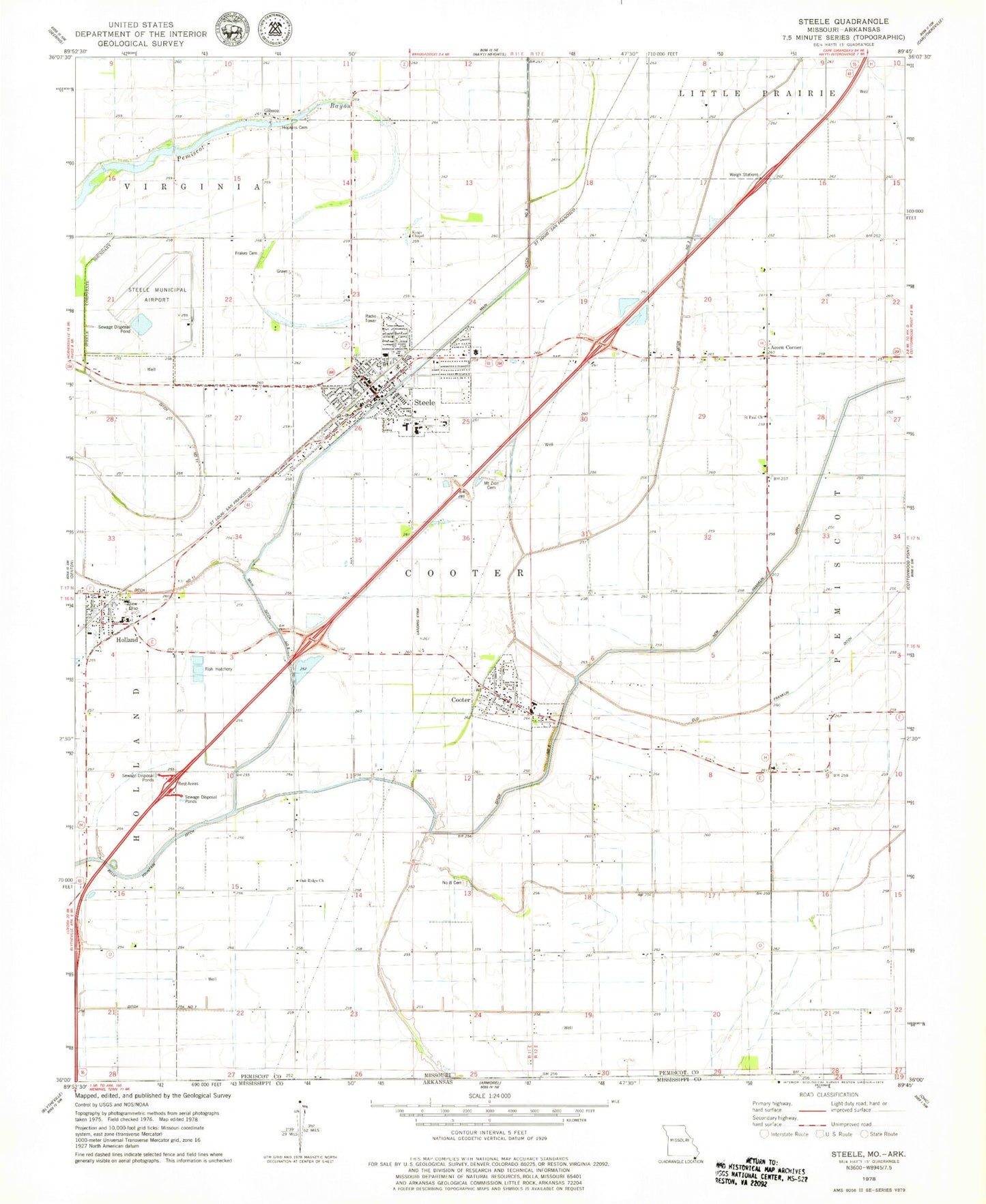
Historical USGS topographic quad map of Steele in the state of Missouri. Map scale may vary for some years, but is generally around 1:24,000. Print size is approximately 24" x 27"
This quadrangle is in the following counties: Mississippi, Pemiscot.
The map contains contour lines, roads, rivers, towns, and lakes. Printed on high-quality waterproof paper with UV fade-resistant inks, and shipped rolled.
Contains the following named places: Acorn Corner, Barnard Cemetery, Boones Chapel, Choctaw, City of Cooter, City of Steele, Cooter, Cooter Police Department, Cooter Post Office, Cooter Volunteer Fire Department, Ditch Number 3, Ditch Number 45, Ditch Number 5, Douglas, Douglas School, Fairbanks, Frakes Cemetery, Gibson, Gibson School, Hall, Holbert Corner, Holland, Holland Police Department, Holland Post Office, Holly Cemetery, Hopkins Cemetery, Kings Chapel, Lake Farms School, Maplewood School, Mitchell Number 8 Cemetery, Mount Moriah Cemetery, Mount Moriah Church, Mount Zion Cemetery, Mount Zion Church, New Franklin Ditch, Number Eight School, Oak Ridge, Oak Ridge Church, Old Franklin Ditch, Pemiscot Bayou, Pemiscot Bayou Dam, Pemiscot Bayou Lake, Persimmon Grove School, Pulltight School, Saint Paul Church, Steele, Steele Fire Department, Steele Municipal Airport, Steele Police Department, Steele Post Office, Town of Holland, Township of Cooter, Washington School, ZIP Codes: 63839, 63853, 63877


