MyTopo
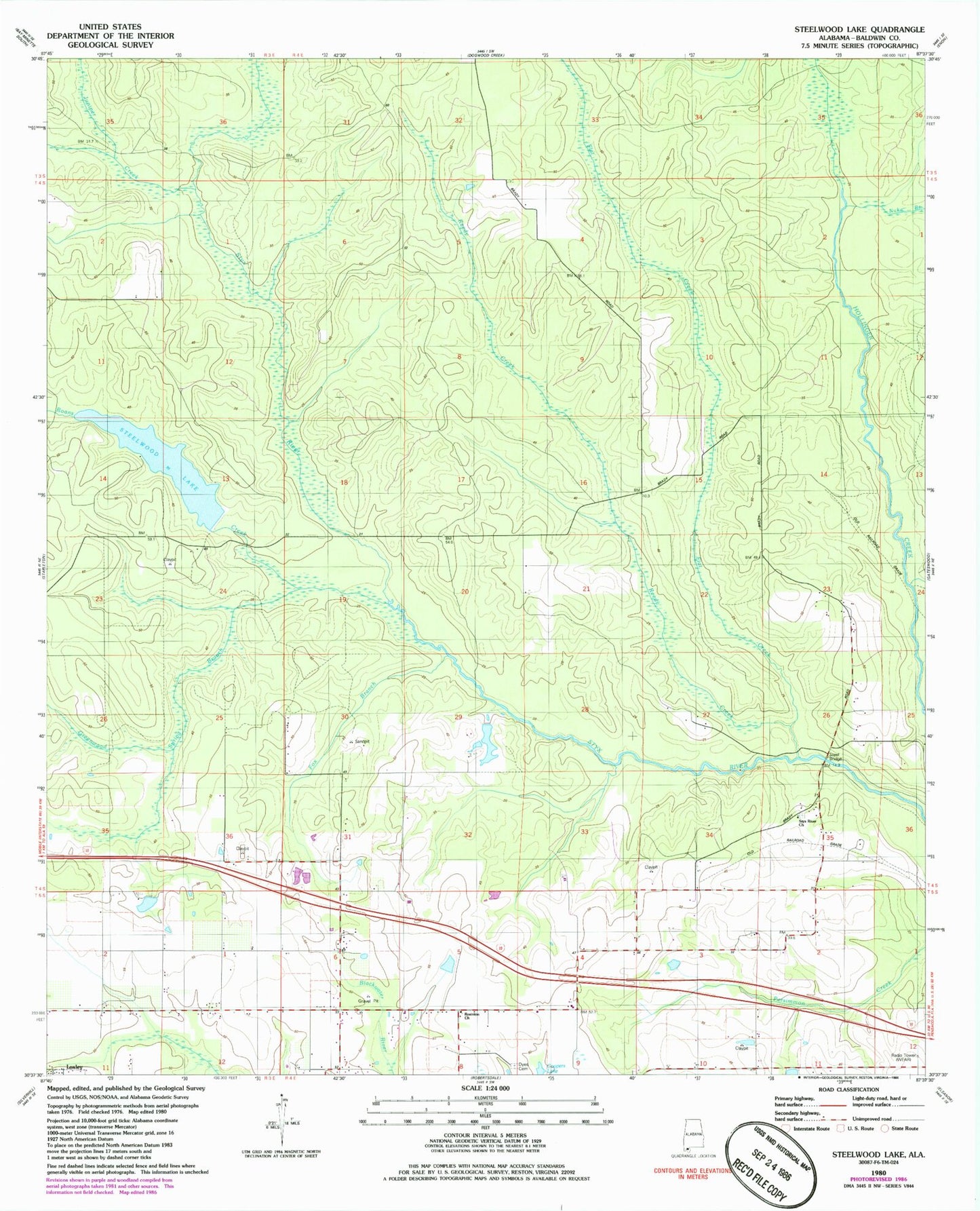
Classic USGS Steelwood Lake Alabama 7.5'x7.5' Topo Map
Couldn't load pickup availability
Historical USGS topographic quad map of Steelwood Lake in the state of Alabama. Map scale may vary for some years, but is generally around 1:24,000. Print size is approximately 24" x 27"
This quadrangle is in the following counties: Baldwin.
The map contains contour lines, roads, rivers, towns, and lakes. Printed on high-quality waterproof paper with UV fade-resistant inks, and shipped rolled.
Contains the following named places: Baldwin County, Baswell Airport, Berry Field, Bertolli Lake, Dyes Cemetery, Flat Creek, Fox Branch, Greenwood Spring Branch, Hinote Cemetery, J P Bertolli Dam, John Q Kendrick Dam, Juniper Creek, Lake Kendrick, Nuke Branch, Old Mill Bridge, Reedy Creek, Roans Creek, Rosinton Church, Steelwood Country Club, Steelwood Lake, Styx River Church, Styx River Volunteer Fire Department, Tennessee Coal and Iron Dam, Town of Loxley, Turpentine Camp, Williamson Farm Airport, WPMI-TV (Mobile), WSKR-FM (Atmore)