MyTopo
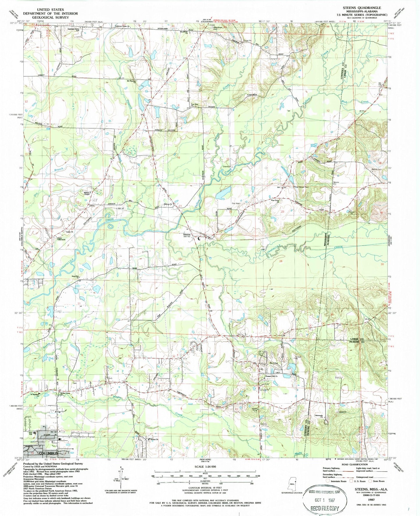
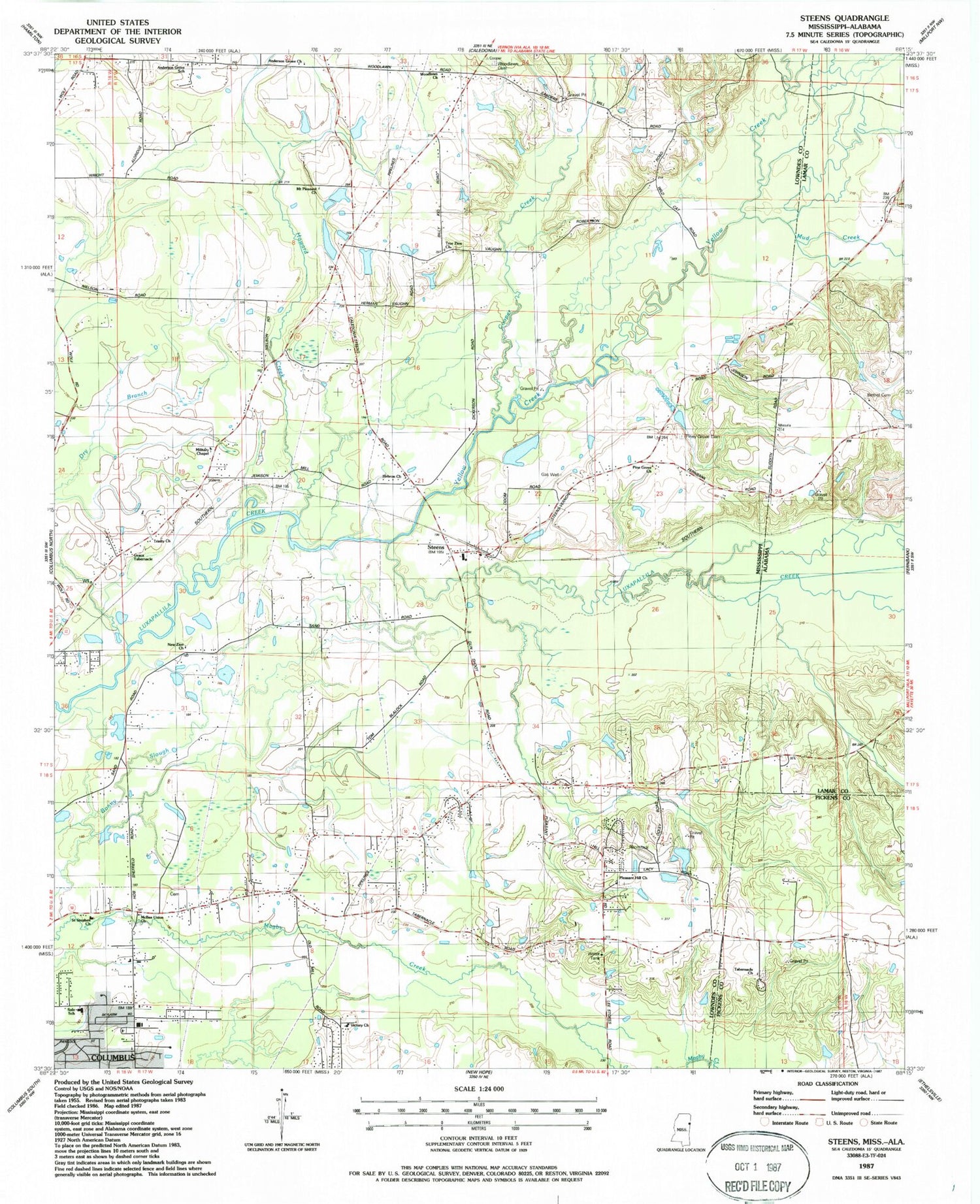
Classic USGS Steens Mississippi 7.5'x7.5' Topo Map
Couldn't load pickup availability
Historical USGS topographic quad map of Steens in the states of Mississippi, Alabama. Map scale may vary for some years, but is generally around 1:24,000. Print size is approximately 24" x 27"
This quadrangle is in the following counties: Lamar, Lowndes, Pickens.
The map contains contour lines, roads, rivers, towns, and lakes. Printed on high-quality waterproof paper with UV fade-resistant inks, and shipped rolled.
Contains the following named places: Anderson Grove Church, Anderson Grove Elementary School, Bethel Cemetery, Bethel Church, Brush Creek, Canaan Baptist Church, Columbus Fire Department Station 5, Columbus Raceway, Cooper Creek, Crossroads Church, Doyle Estates, Dry Branch, First Baptist Church, Flood Branch, Forest Volunteer Fire Department Station 2, Grace Tabernacle, Hardy Bluff School, Hebron Church, Henrys Store, Hopper Field, Howard Creek, Immanuel Center for Christian Education, Jamison Water Mill, Jamisons Mill Pond, Khan Catfish Pond Dam, Labelle Estates, Lowndes County District 1 Volunteer Fire and Rescue Department Lone Oaks Station, Lowndes County District 1 Volunteer Fire and Rescue Department Steens Station, Lowndes County District 2 Volunteer Fire and Rescue Department Wolfe Road Station, Lowndes County District 3 Volunteer Fire and Rescue Department Rural Hill Station, McBee Union Church, Military Chapel, Mount Pleasant Church, Mud Creek, Mullins Store, New Zion Church, Odom Lake Dam, Perkins Store, Pine Grove Church, Piney Grove Cemetery, Pleasant Hill Cemetery, Pleasant Hill Church, Powells Shop, Remunda Estates, Rural Hill School, Saint Stephen Church, Sale Elementary School, Shockly Field, Steen Church of Christ, Steens, Steens Post Office, Tabernacle Cemetery, Tabernacle Church, Trinity Church, True Zion Church, Victory Christian Academy, Victory Church, Woodlawn, Woodlawn Cemetery, Woodlawn Church, Yellow Creek, ZIP Code: 39766


