MyTopo
Classic USGS Steer Ridge Canyon Utah 7.5'x7.5' Topo Map
Couldn't load pickup availability
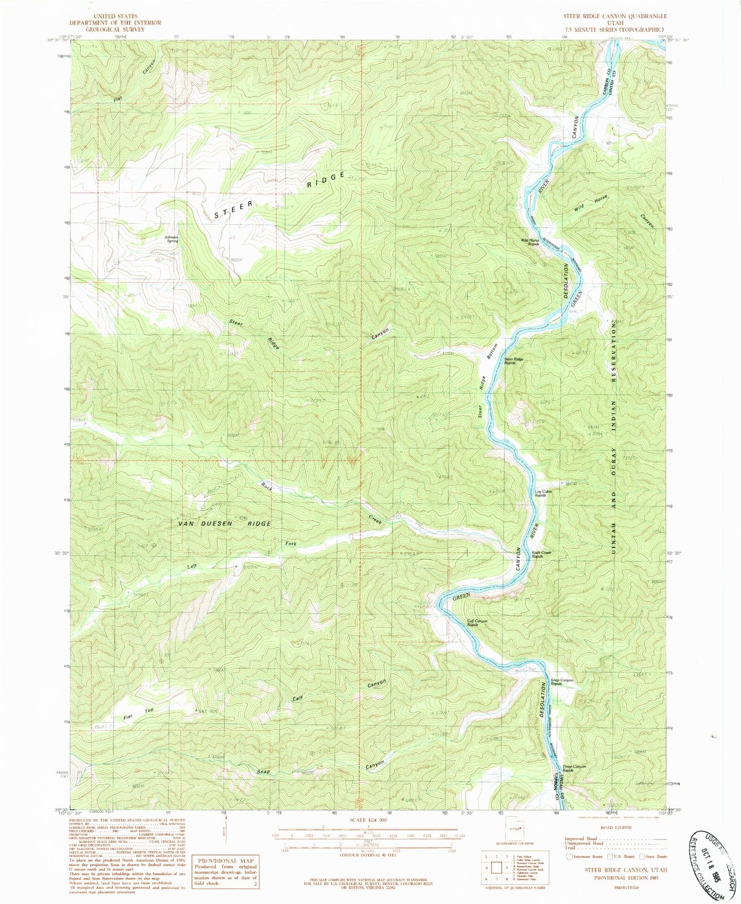
Historical USGS topographic quad map of Steer Ridge Canyon in the state of Utah. Map scale may vary for some years, but is generally around 1:24,000. Print size is approximately 24" x 27"
This quadrangle is in the following counties: Carbon, Uintah.
The map contains contour lines, roads, rivers, towns, and lakes. Printed on high-quality waterproof paper with UV fade-resistant inks, and shipped rolled.
Contains the following named places: Calf Canyon, Calf Canyon Rapids, Flat Top, Johnson Spring, Left Fork Rock Creek, Log Cabin Rapids, Rock Creek, Rock Creek Ranch, Rock Creek Rapids, Snap Canyon, Snap Canyon Rapids, Steer Ridge Bottom, Steer Ridge Canyon, Steer Ridge Rapids, Three Canyon Rapids, Wild Horse Canyon, Wild Horse Rapids