MyTopo
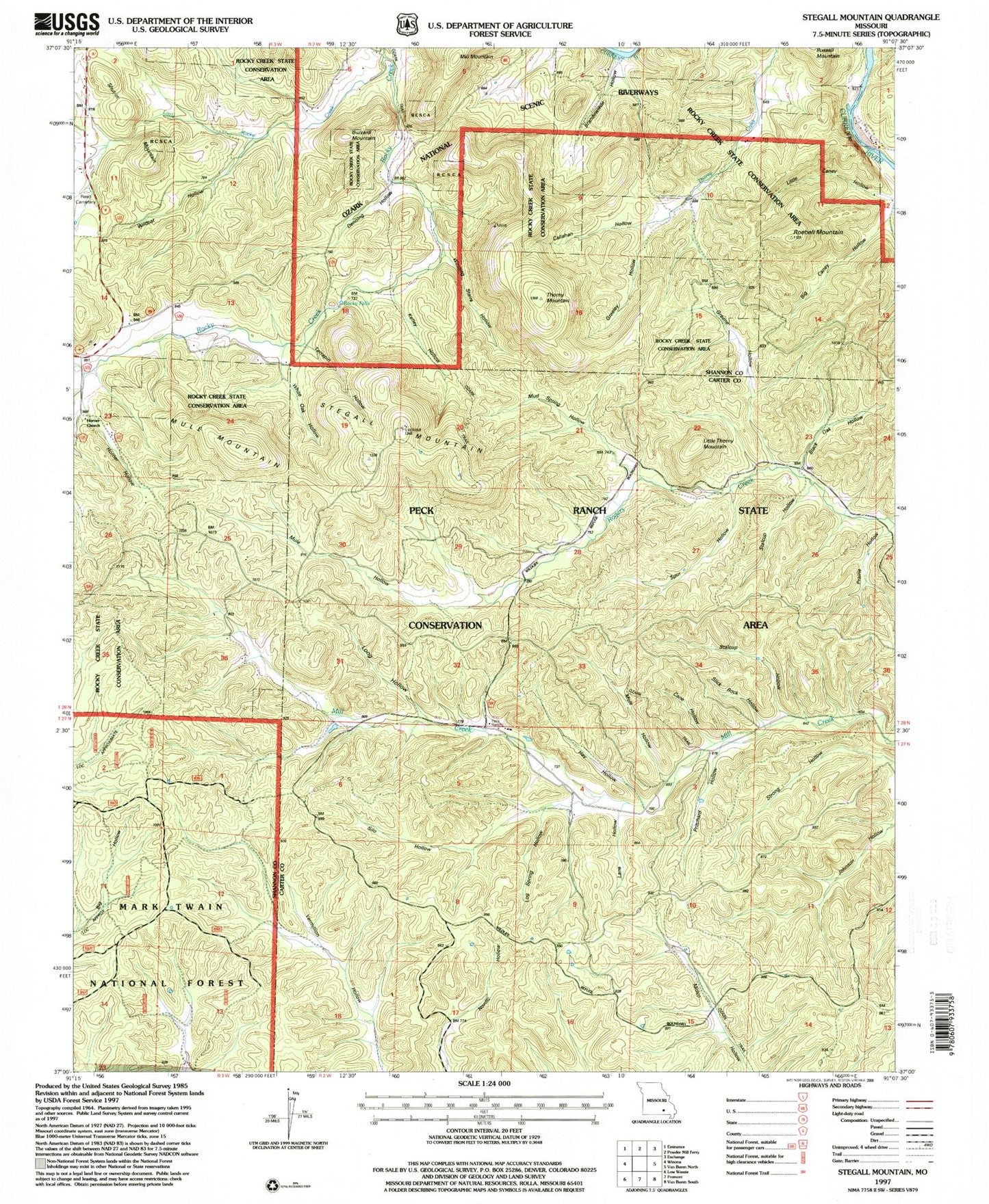
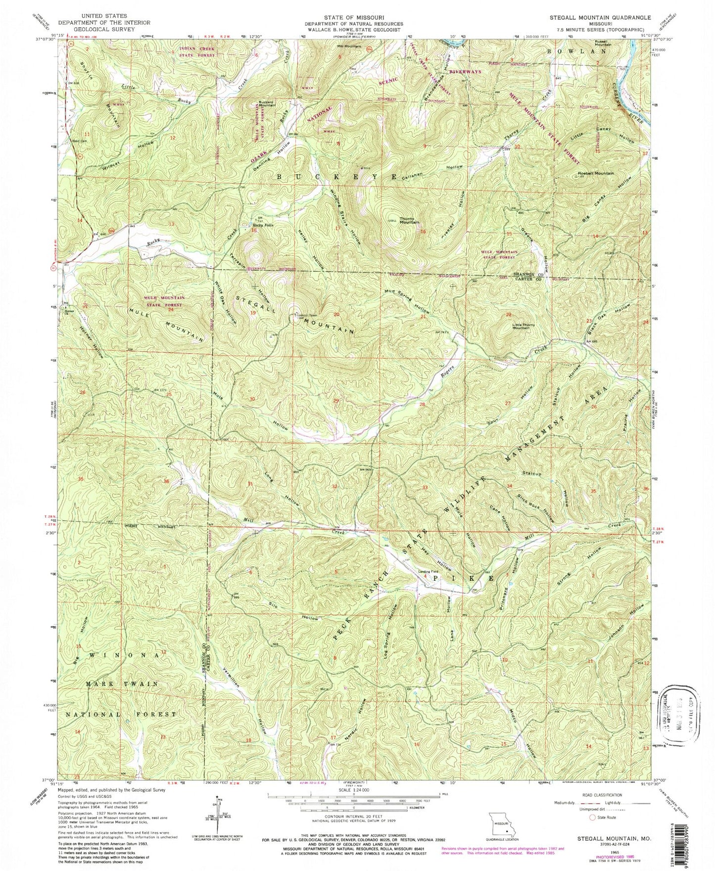
Classic USGS Stegall Mountain Missouri 7.5'x7.5' Topo Map
Couldn't load pickup availability
Historical USGS topographic quad map of Stegall Mountain in the state of Missouri. Typical map scale is 1:24,000, but may vary for certain years, if available. Print size: 24" x 27"
This quadrangle is in the following counties: Carter, Shannon.
The map contains contour lines, roads, rivers, towns, and lakes. Printed on high-quality waterproof paper with UV fade-resistant inks, and shipped rolled.
Contains the following named places: Liberty School (historical), Reed School (historical), Horner School (historical), Cardareva Ford (historical), Cardareva School, Mill Creek School (historical), Black Oak Hollow, Brandewiede Hollow, Buzzard Mountain, Callahan Hollow, Cane Hollow, Denning Hollow, Greeley Hollow, Greene Hollow, Hay Hollow, Horner Church, Horner Hollow, Kelley Hollow, Lane Hollow, Little Caney Hollow, Little Rocky Creek, Little Thorny Mountain, Log Spring Hollow, Long Hollow, Mill Mountain, Mud Spring Hollow, Mule Hollow, Mule Hollow, Mule Mountain, Peck Ranch State Wildlife Management Area, Prairie Hollow, Pritchard Hollow, Reed Cemetery, Rocky Falls, Roebell Mountain, Shut-In Mountain, Silo Hollow, Slick Rock Hollow, Spur Hollow, Stalcup Hollow, Stalcup Hollow, Stegall Mountain, Terrapin Hollow, Thorny Mountain, White Oak Hollow, Wildcat Hollow, Winding Stairs Hollow, Rocky Falls Picnic Area, Mule Mountain State Forest


