MyTopo
Classic USGS Stegall Nebraska 7.5'x7.5' Topo Map
Couldn't load pickup availability
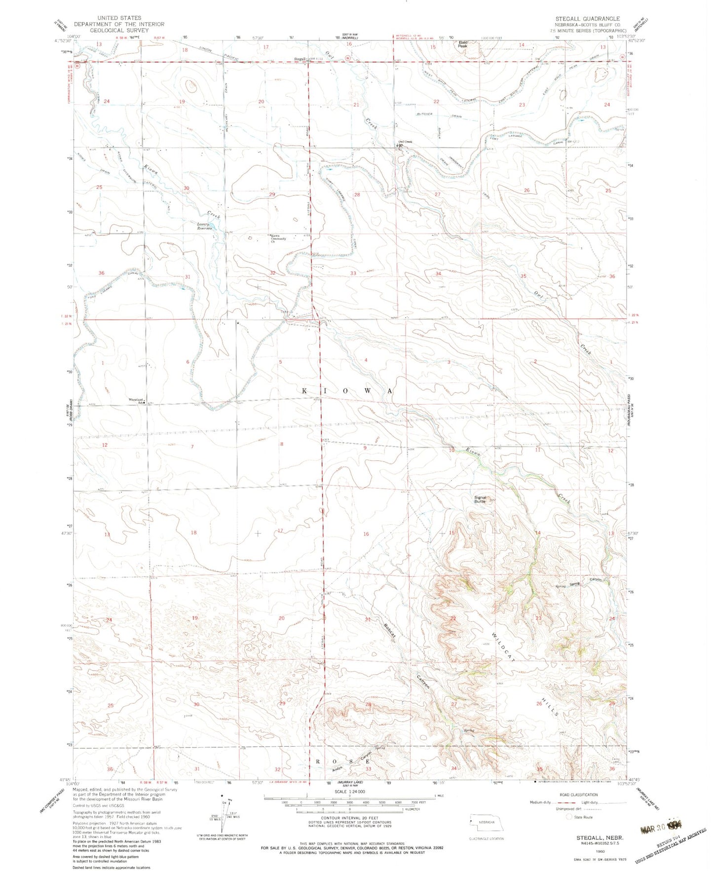
Historical USGS topographic quad map of Stegall in the state of Nebraska. Map scale may vary for some years, but is generally around 1:24,000. Print size is approximately 24" x 27"
This quadrangle is in the following counties: Scotts Bluff.
The map contains contour lines, roads, rivers, towns, and lakes. Printed on high-quality waterproof paper with UV fade-resistant inks, and shipped rolled.
Contains the following named places: Andys Canyon, Baker Drain, Bobcat Canyon, Browns Canyon Dam Number 1, Browns Canyon Reservoir Number 1, Butcher Drain, East Bald Peak Drain, Kiowa Community Church, Kiowa Diversion Lateral Number 1, Kiowa Diversion Lateral Number 2, Kiowa Drain, Kiowa Election Precinct, Lowery Reservoir, McCreary Drain, Owl Creek School, Signal Butte, Spring Canyon, Stegall, Wheatland School, ZIP Code: 69352