MyTopo
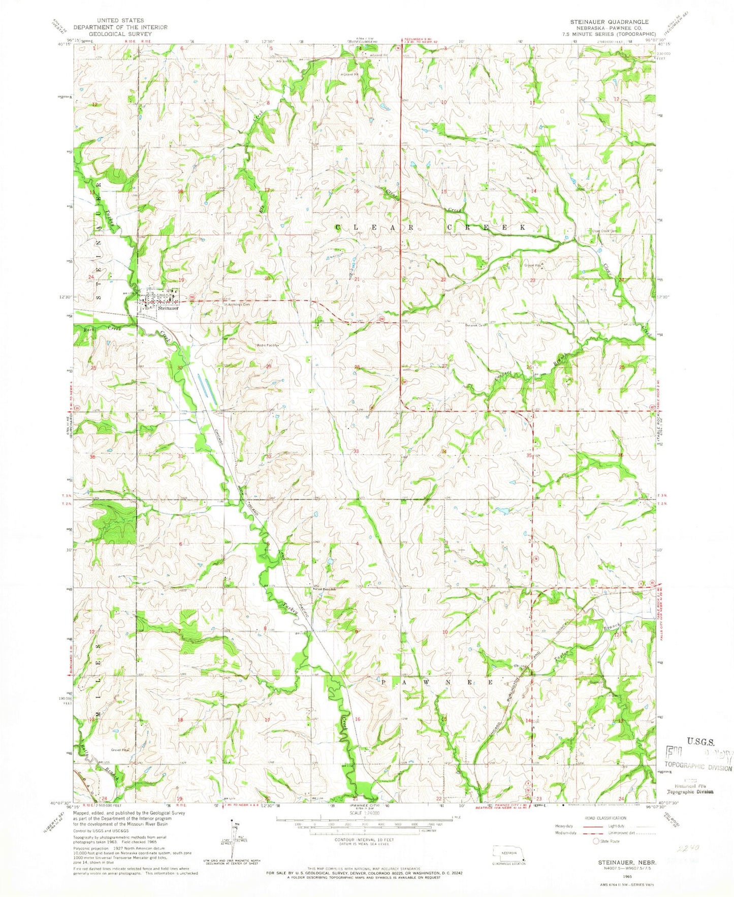
Classic USGS Steinauer Nebraska 7.5'x7.5' Topo Map
Couldn't load pickup availability
Historical USGS topographic quad map of Steinauer in the state of Nebraska. Map scale may vary for some years, but is generally around 1:24,000. Print size is approximately 24" x 27"
This quadrangle is in the following counties: Pawnee.
The map contains contour lines, roads, rivers, towns, and lakes. Printed on high-quality waterproof paper with UV fade-resistant inks, and shipped rolled.
Contains the following named places: Balls Branch, Beranek Cemetery, Bernadt Airport, Bowwood State Wildlife Management Area, Clear Creek Cemetery, Cold Point School, Cooper Branch, Election Precinct 2 Pawnee Number 2, Gottula Trailer Park, Pawnee County, Rock Creek, Saint Anthony Catholic Church, Saint Anthonys Cemetery, Steinauer, Steinauer Post Office, Steinauer Volunteer Fire Department, Township of Clear Creek, Township of Pawnee, Village of Steinauer, Village of Steinauer Historical Marker, ZIP Code: 68441