
MyTopo
Classic USGS Steinhatchee Florida 7.5'x7.5' Topo Map
Couldn't load pickup availability
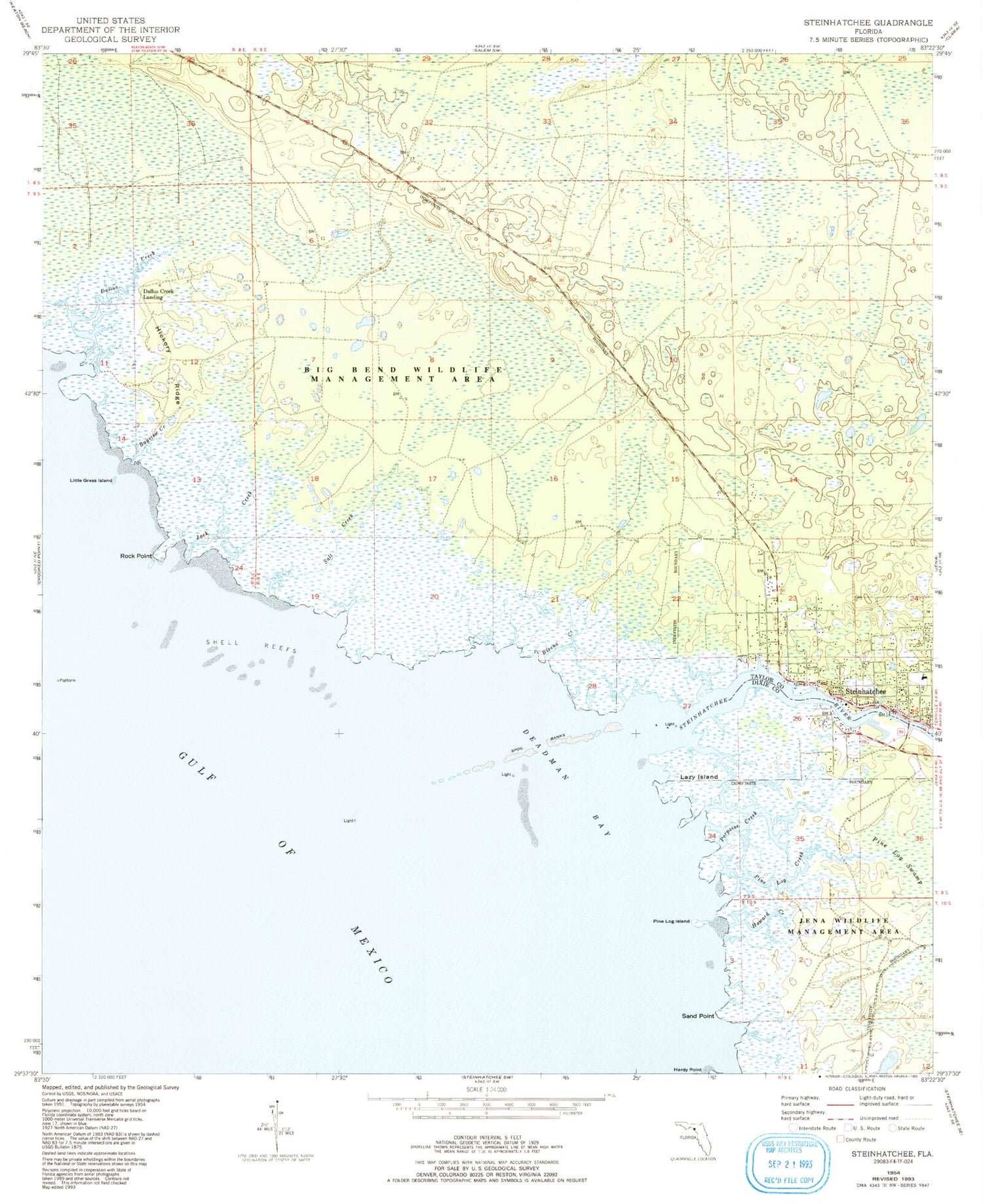
Historical USGS topographic quad map of Steinhatchee in the state of Florida. Map scale may vary for some years, but is generally around 1:24,000. Print size is approximately 24" x 27"
This quadrangle is in the following counties: Dixie, Taylor.
The map contains contour lines, roads, rivers, towns, and lakes. Printed on high-quality waterproof paper with UV fade-resistant inks, and shipped rolled.
Contains the following named places: Bayview Creek, Bivens Creek, Dallus Creek, Dallus Creek Landing, Deadman Bay, Hickory Ridge, Howard Creek, Jack Creek, Lazy Island, Little Grass Island, Pine Log Creek, Pine Log Island, Porpoise Creek, Rock Point, Salt Creek, Sand Point, Shell Reefs, Steinhatchee, Steinhatchee Census Designated Place, Steinhatchee River, Steinhatchee School, Steinhatchee Volunteer Fire and Rescue, Stewart City, Tide Swamp Wildlife Management Area, ZIP Code: 32359


