MyTopo
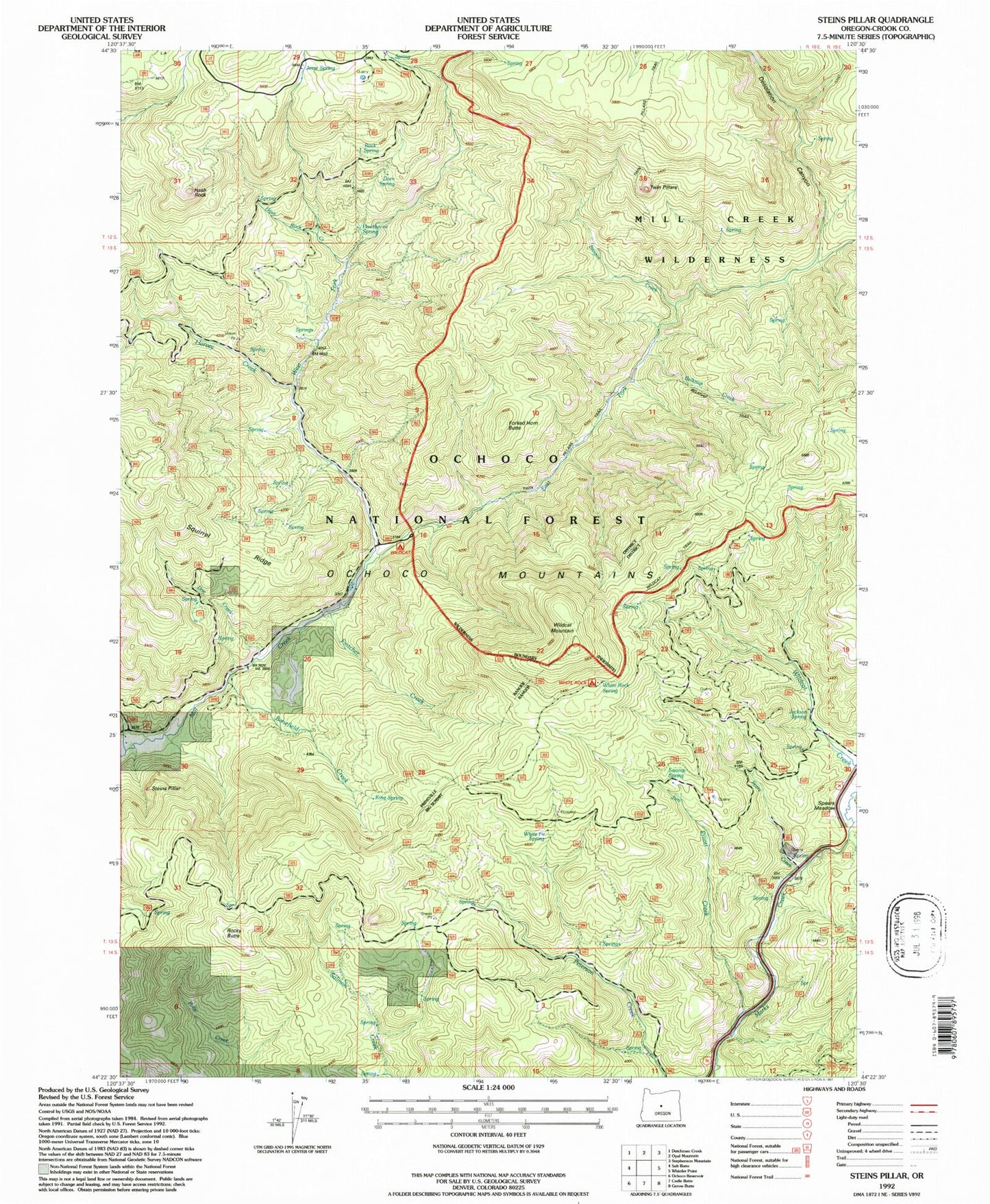
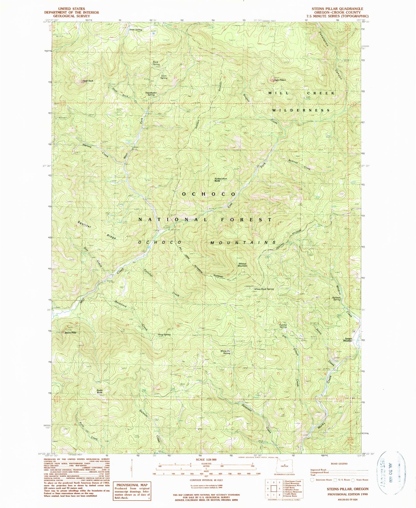
Classic USGS Steins Pillar Oregon 7.5'x7.5' Topo Map
Couldn't load pickup availability
Historical USGS topographic quad map of Steins Pillar in the state of Oregon. Typical map scale is 1:24,000, but may vary for certain years, if available. Print size: 24" x 27"
This quadrangle is in the following counties: Crook.
The map contains contour lines, roads, rivers, towns, and lakes. Printed on high-quality waterproof paper with UV fade-resistant inks, and shipped rolled.
Contains the following named places: White Fir Spring, White Rock Spring, Wildcat Mountain, Mill Creek Wilderness, Wildcat Recreation Site, Belknap Creek, Benefield Creek, Brogan Creek, Desolation Canyon, Doe Creek, Dorn Spring, East Fork Mill Creek, Fintcher Creek, Forked Horn Butte, Harvey Creek, Hash Rock, Hash Rock Creek, Hawthorne Spring, Jackson Spring, Jesse Spring, Jim Elliott Creek, King Spring, Lakin Place, Lemon Creek, Rock Spring, Rocky Butte, Sears Creek, Squirrel Ridge, Steins Pillar, Swamp Spring, Twin Pillars, West Fork Mill Creek, Barney, Riley Creek, Cayuse Forest Camp, Barney Post Office (historical), White Rock Recreation Site, Prineville Division


