MyTopo
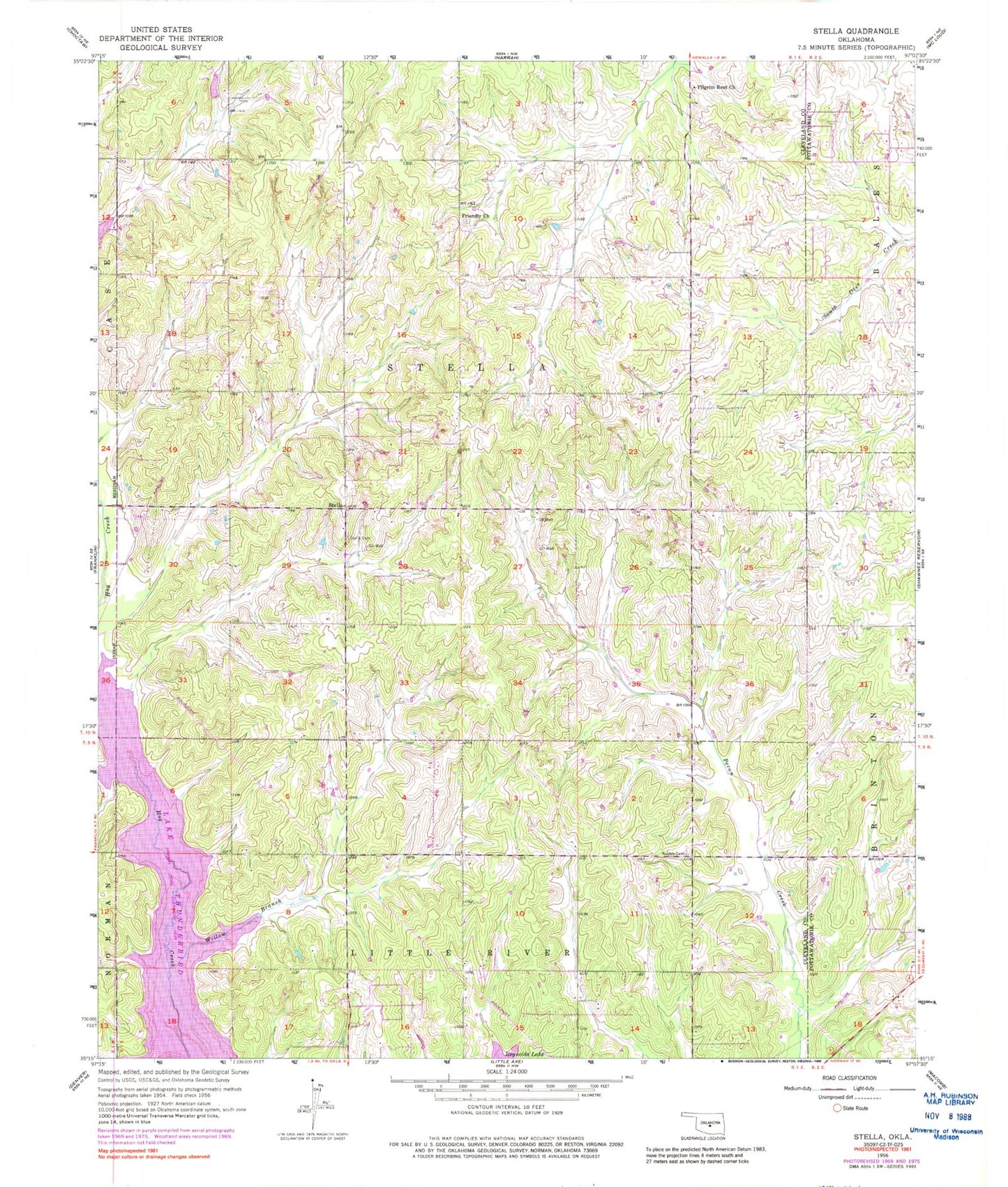
Classic USGS Stella Oklahoma 7.5'x7.5' Topo Map
Couldn't load pickup availability
Historical USGS topographic quad map of Stella in the state of Oklahoma. Map scale may vary for some years, but is generally around 1:24,000. Print size is approximately 24" x 27"
This quadrangle is in the following counties: Cleveland, Pottawatomie.
The map contains contour lines, roads, rivers, towns, and lakes. Printed on high-quality waterproof paper with UV fade-resistant inks, and shipped rolled.
Contains the following named places: Friendly Church, Friendship Cemetery, Knoles Cemetery, Little Axe Baptist Church, Little Axe Independent School District, Little Axe Volunteer Fire Department, Oklahoma City Fire Department Station 36, Oknoname 103005 Dam, Oknoname 103005 Reservoir, Pilgrim Rest Church, Pilgrims Rest Cemetery, Stella, Stella Cemetery, Township of Stell, Upper Black Bear Creek Site 10 Dam, Upper Black Bear Creek Site 10 Reservoir, Willow Branch, ZIP Code: 74857