MyTopo
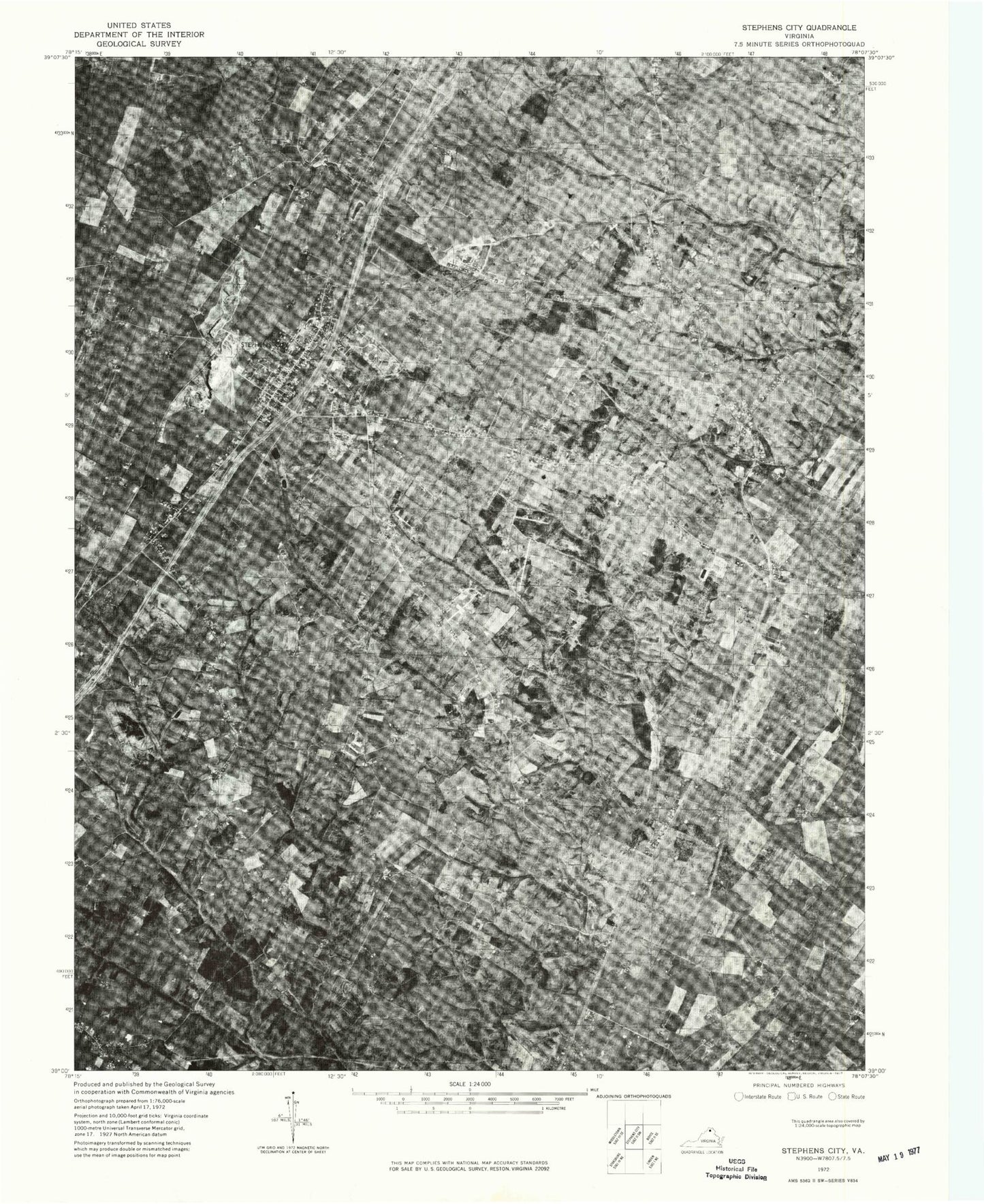
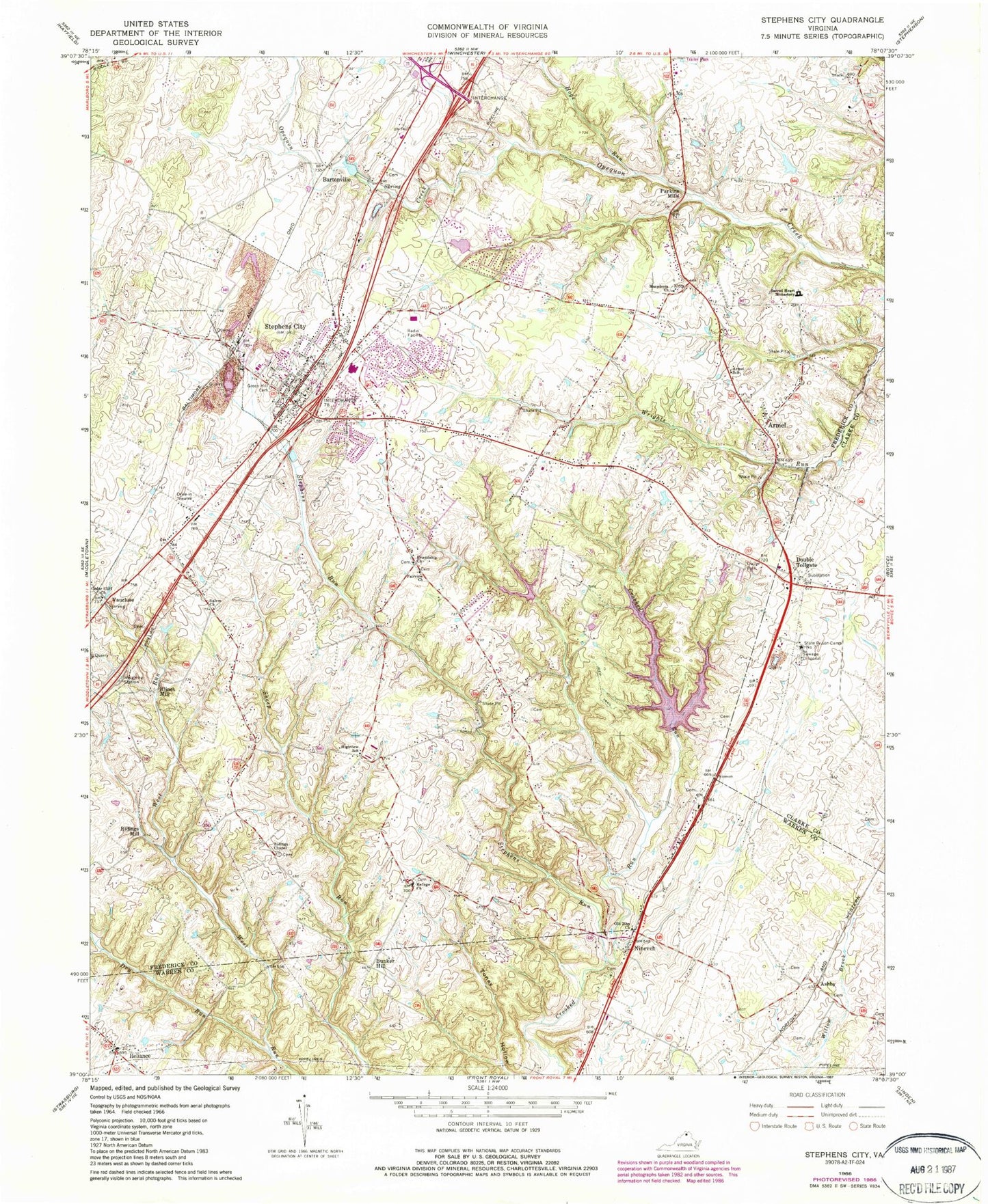
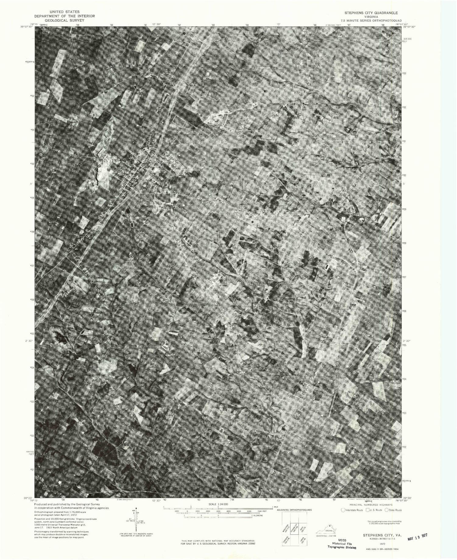
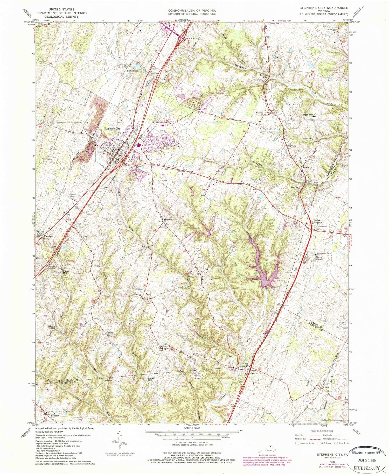
Classic USGS Stephens City Virginia 7.5'x7.5' Topo Map
Couldn't load pickup availability
Historical USGS topographic quad map of Stephens City in the state of Virginia. Typical map scale is 1:24,000, but may vary for certain years, if available. Print size: 24" x 27"
This quadrangle is in the following counties: Clarke, Frederick, Warren.
The map contains contour lines, roads, rivers, towns, and lakes. Printed on high-quality waterproof paper with UV fade-resistant inks, and shipped rolled.
Contains the following named places: Armel Elementary School, Cedar Cliff Church, Double Tollgate, Dry Run, Fairview Church, Friendship Church, Green Hill Cemetery, Highview School, Macedonia Church, Old Zion Church, Refuge Church, Ridings Chapel, Sacred Heart Monastery, Salem Church, Stephens Run, Hoge Run, Stephens Park Dam, Stephens Park Lake, Wheatlands Dam, Lakeside Lake Dam, Lakeside Lake, State Prison Camp Number 7, Armel, Ashby, Bartonsville, Bunker Hill, Klines Mill, Nineveh, Parkins Mills, Reliance, Ridings Mill, Stephens City, Vaucluse, Ninevah Presbyterian Church, Reliance United Methodist Church, Do-Nothing Farm, Erin, Golden Acres, Reliance Cemetery, Stonewall Farm, Valley View Farm, Windmore, Greenway Southern Baptist Church, Gun Barrel Lane Estates, Bass - Hoover Elementary School, Canterburg, Fairview Cemetery, Lake Frederick, Friendship Cemetery, Liberty Baptist Church, Macedonia Cemetery, Robert E Aylor Middle School, Shenandoah Valley Christian Academy, Stephens City Mennonite Church, Springdale Mill Complex, Stephens City Post Office, Trinity Lutheran Church, Tulip, Vaucluse Spring, Opequon District, Shawnee District, Frederick County Fire and Rescue Department Station 11 - Stephens City Volunteer Fire and Rescue, Town of Stephens City, Sherando High School, Admiral Richard E Byrd Middle School, Mountain View Christian Academy, Lake Frederick, Valley Medical Transport, WXVA-AM (Winchester), White Post Detention Center (historical), Stephens City Police Department


