MyTopo
Classic USGS Sterling Center Minnesota 7.5'x7.5' Topo Map
Regular price
$16.95
Regular price
Sale price
$16.95
Unit price
per
Couldn't load pickup availability
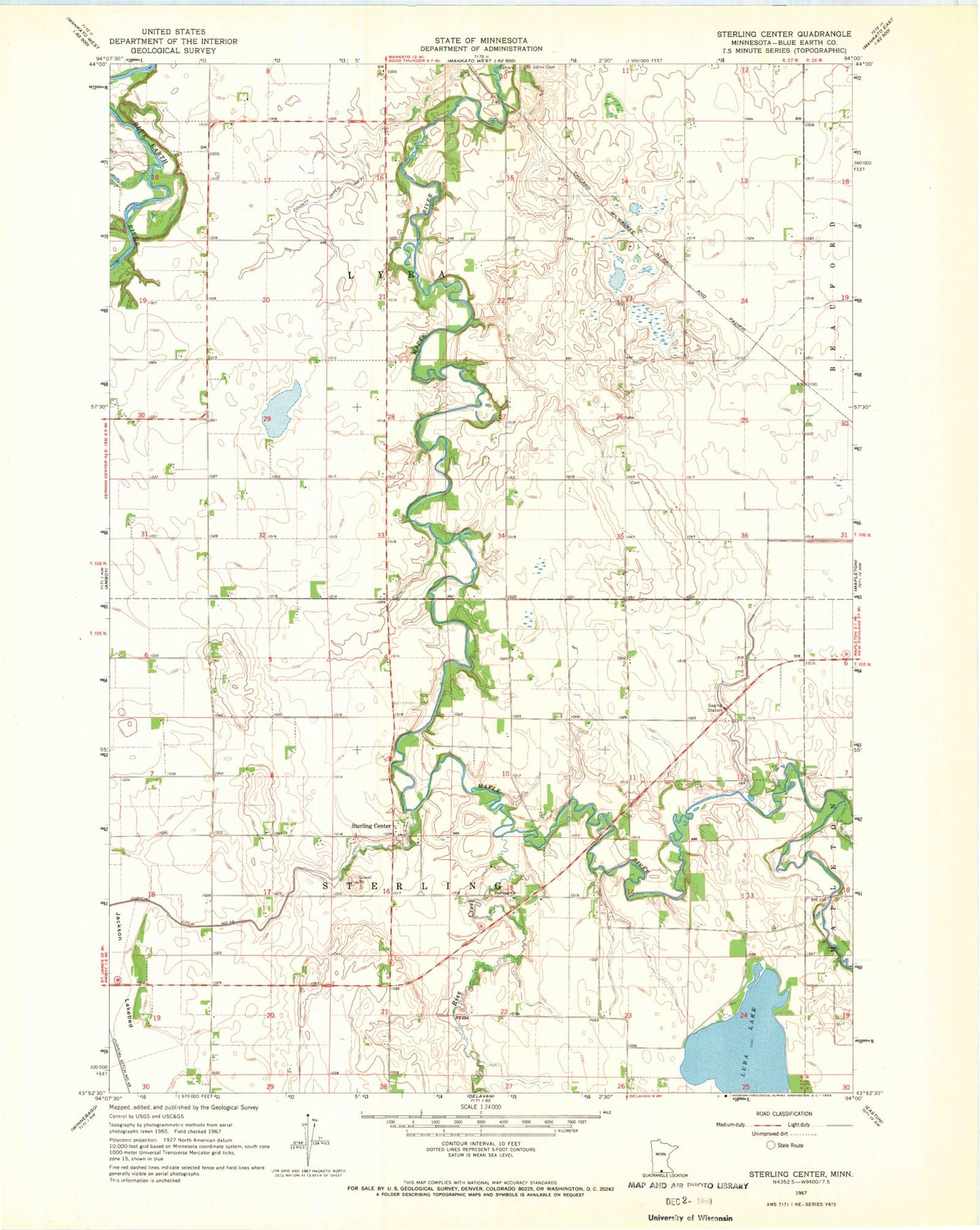
Historical USGS topographic quad map of Sterling Center in the state of Minnesota. Map scale may vary for some years, but is generally around 1:24,000. Print size is approximately 24" x 27"
This quadrangle is in the following counties: Blue Earth.
The map contains contour lines, roads, rivers, towns, and lakes. Printed on high-quality waterproof paper with UV fade-resistant inks, and shipped rolled.
Contains the following named places: Calvary Cemetery, County Ditch Number Twentyone, Jackson Lakebed, Judicial Ditch Number Fortynine, Rice Creek, Saint Johns Cemetery, Sterling Cemetery, Sterling Center, Sterling Center Post Office, Sterling Church, Township of Lyra, Township of Sterling