MyTopo
Classic USGS Sterling City Texas 7.5'x7.5' Topo Map
Couldn't load pickup availability
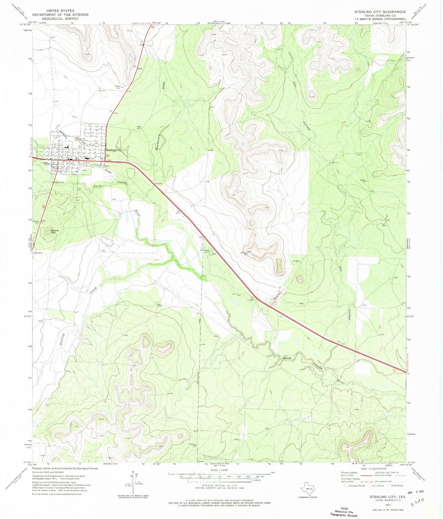
Historical USGS topographic quad map of Sterling City in the state of Texas. Map scale may vary for some years, but is generally around 1:24,000. Print size is approximately 24" x 27"
This quadrangle is in the following counties: Sterling.
The map contains contour lines, roads, rivers, towns, and lakes. Printed on high-quality waterproof paper with UV fade-resistant inks, and shipped rolled.
Contains the following named places: Bodcaw Draw, City of Sterling City, Cox Hollow, Mackenzie Draw, Montvale Cemetery, Round Top, Sterling City, Sterling City Cemetery, Sterling City City Hall, Sterling City Elementary and Middle School, Sterling City High School, Sterling City Post Office, Sterling County Emergency Medical Services, Sterling County Fire Department, Sterling County Sheriff's Office, Sterling Creek