MyTopo
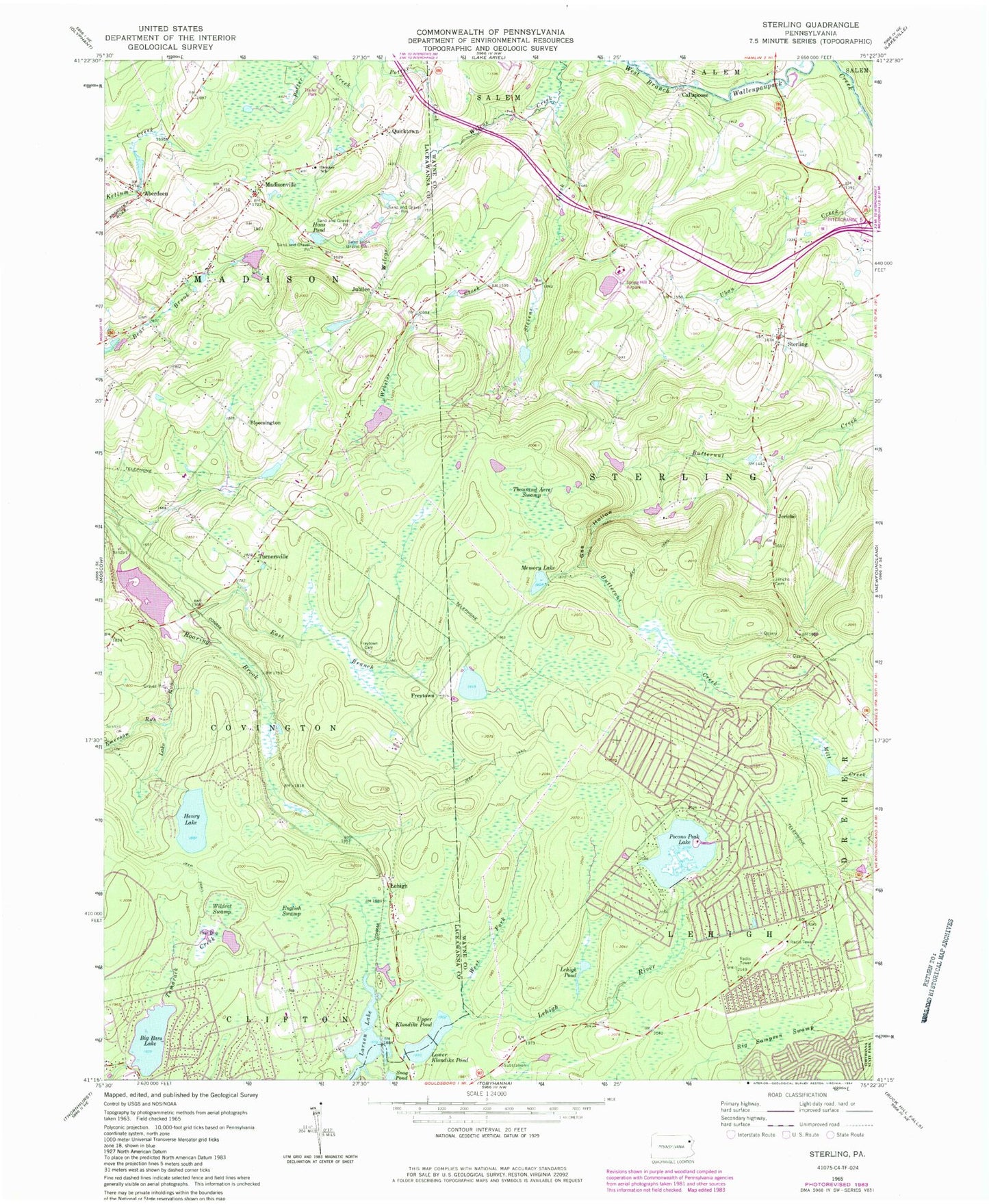
Classic USGS Sterling Pennsylvania 7.5'x7.5' Topo Map
Couldn't load pickup availability
Historical USGS topographic quad map of Sterling in the state of Pennsylvania. Typical map scale is 1:24,000, but may vary for certain years, if available. Print size: 24" x 27"
This quadrangle is in the following counties: Lackawanna, Wayne.
The map contains contour lines, roads, rivers, towns, and lakes. Printed on high-quality waterproof paper with UV fade-resistant inks, and shipped rolled.
Contains the following named places: Aberdeen, Big Sampson Swamp, Bloomington, Callapoose, Drinker School, East Branch Roaring Brook, Emerson Run, English Swamp, Freytown Cemetery, Gas Hollow, Haas Pond, Howetown Cemetery, Jubilee, Lake Run, Lehigh, Lehigh Pond, Lower Klondike Pond, Madisonville, Memory Lake, Pocono Peak Lake, Potter Creek, Quicktown, Sterling, Stevens Creek, Thousand Acre Swamp, Turnersville, Upper Klondike Pond, Webster Creek, West Fork Lehigh River, Wildcat Swamp, Spring Hill Airport, Air Haven Airport (historical), Larsen Dam, Larsen Lake, Big Bass Lake, Big Bass Lake Dam, Lower Klondike Dam, Crystal Lake, Crystal Lake Dam, Lake Henry Dam, Hollister Dam, Hollister Reservoir, Robinson Lake, Robinson Dam, Bear Branch School (historical), Frogtown School (historical), Eagle Lake, Upper Wilcox Pond, Freytown, Jericho, Tamarack Dam, Lower Dam, Kopicki Dam, Pocono Springs, Township of Madison, Township of Lehigh, Township of Sterling, Big Bass Lake Census Designated Place, Eagle Lake Census Designated Place, Pocono Springs Census Designated Place, Eagle Lake, Big Bass Lake, Madisonville Independent Fire Company Station 56, Sterling Post Office, Bear Brook Cemetery, Hornbaker Cemetery, Madisonville Union Cemetery, Aberdeen, Big Sampson Swamp, Bloomington, Callapoose, Drinker School, East Branch Roaring Brook, Emerson Run, English Swamp, Freytown Cemetery, Gas Hollow, Haas Pond, Howetown Cemetery, Jubilee, Lake Run, Lehigh, Lehigh Pond, Lower Klondike Pond, Madisonville, Memory Lake, Pocono Peak Lake, Potter Creek, Quicktown, Sterling, Stevens Creek, Thousand Acre Swamp, Turnersville, Upper Klondike Pond, Webster Creek, West Fork Lehigh River, Wildcat Swamp, Spring Hill Airport, Air Haven Airport (historical), Larsen Dam, Larsen Lake, Big Bass Lake, Big Bass Lake Dam, Lower Klondike Dam, Crystal Lake, Crystal Lake Dam, Lake Henry Dam, Hollister Dam, Hollister Reservoir, Robinson Lake, Robinson Dam, Bear Branch School (historical), Frogtown School (historical), Eagle Lake, Upper Wilcox Pond, Freytown, Jericho, Tamarack Dam, Lower Dam, Kopicki Dam, Pocono Springs, Township of Madison, Township of Lehigh, Township of Sterling, Big Bass Lake Census Designated Place, Eagle Lake Census Designated Place, Pocono Springs Census Designated Place, Eagle Lake, Big Bass Lake, Madisonville Independent Fire Company Station 56, Sterling Post Office, Bear Brook Cemetery, Hornbaker Cemetery, Madisonville Union Cemetery


