
MyTopo
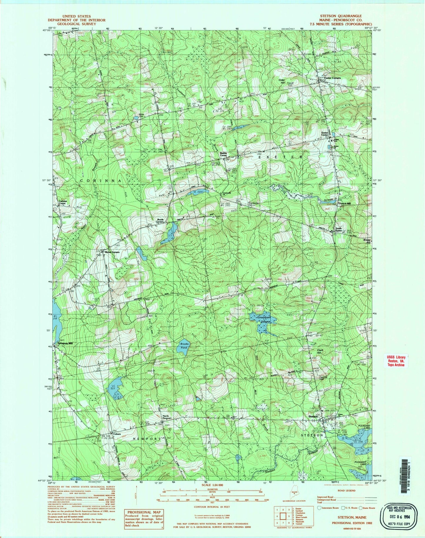
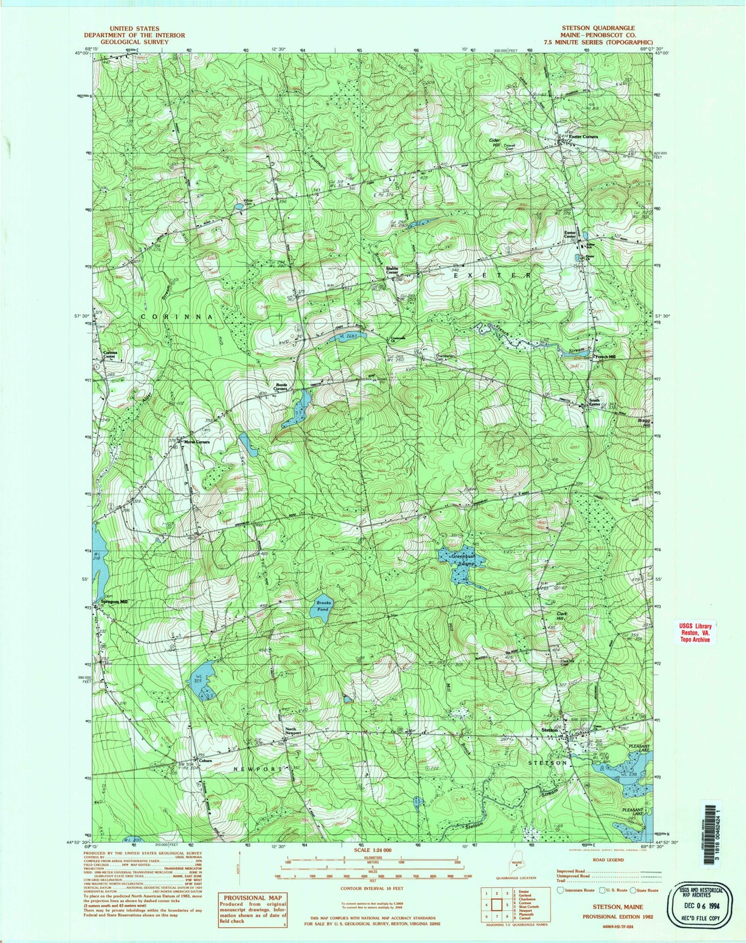
Classic USGS Stetson Maine 7.5'x7.5' Topo Map
Couldn't load pickup availability
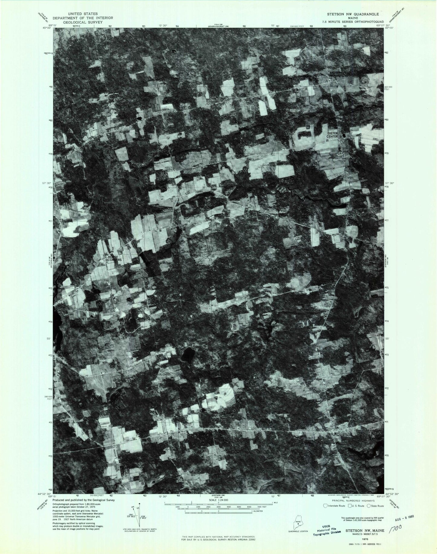
Historical USGS topographic quad map of Stetson in the state of Maine. Map scale may vary for some years, but is generally around 1:24,000. Print size is approximately 24" x 27"
This quadrangle is in the following counties: Penobscot.
The map contains contour lines, roads, rivers, towns, and lakes. Printed on high-quality waterproof paper with UV fade-resistant inks, and shipped rolled.
Contains the following named places: Alder Stream, Archers Dam, Bonds Corners, Bragg Hill, Brooks Pond, Chamberlain Cemetery, Cider Hill, Clark Hill, Clark Hill Cemetery, Coburn, Corinna Center, Corinna Center Cemetery, Crossroads Church, Crowell Cemetery, Exeter Center, Exeter Church, Exeter Consolidated School, Exeter Corners, Exeter Post Office, First Baptist Church, Footman Brook, French Mill, French Stream, French Stream Dam, Greenbush Swamp, Morse Corners, Morses Corner Cemetery, Nason Dam, North Newport, North Newport Cemetery, Pleasant Lake, South Exeter, Spragues Mill, Stetson, Stetson Post Office, Stetson Public Library, Stetson Volunteer Fire Department, Stubbs Corner, Town of Exeter, Union Church, White Cemetery, ZIP Code: 04435