MyTopo
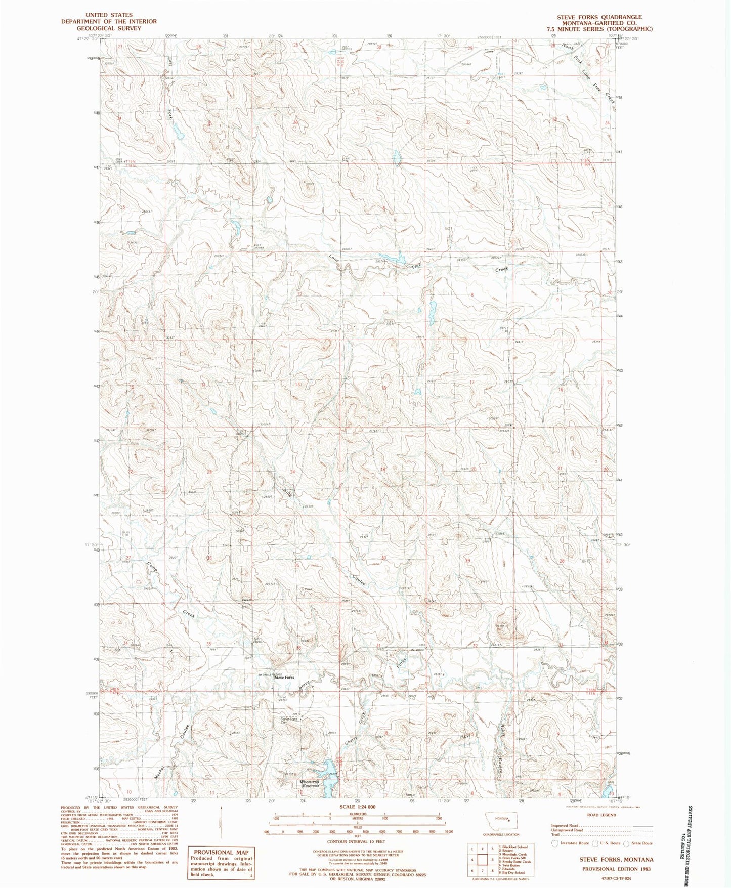
Classic USGS Steve Forks Montana 7.5'x7.5' Topo Map
Couldn't load pickup availability
Historical USGS topographic quad map of Steve Forks in the state of Montana. Map scale may vary for some years, but is generally around 1:24,000. Print size is approximately 24" x 27"
This quadrangle is in the following counties: Garfield.
The map contains contour lines, roads, rivers, towns, and lakes. Printed on high-quality waterproof paper with UV fade-resistant inks, and shipped rolled.
Contains the following named places: 18N34E24CC__01 Well, Baker Coulee, Camp Creek, Cherry Creek, East Fork Lone Tree Creek, Get Down Dam, King Coulee, Meckel Coulee, Merlin Dam, Put It Together Dam, Steve Forks, Steve Forks Cemetery, Steves Fork School, Stevesfork Post Office, Waldo Number 2 Dam, Wheatcroft Reservoir