MyTopo
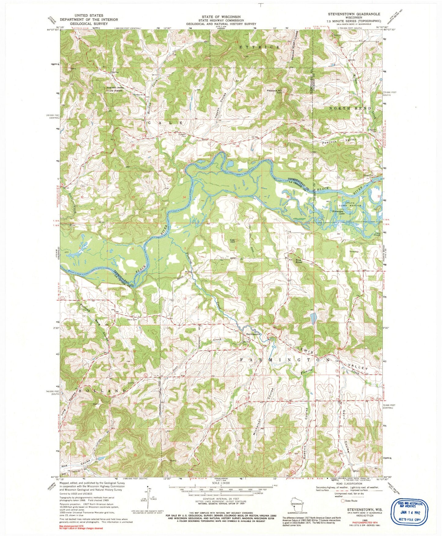
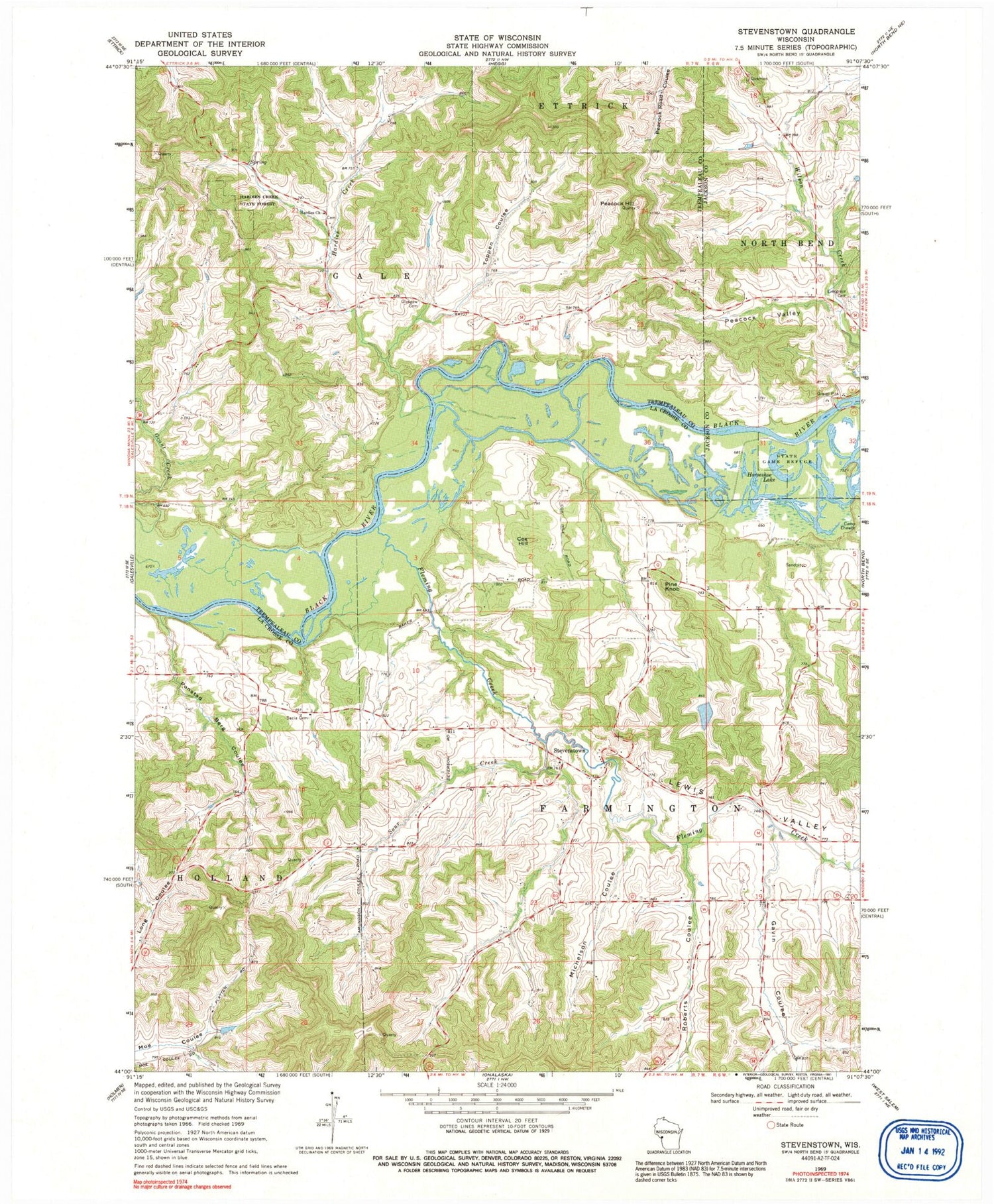
Classic USGS Stevenstown Wisconsin 7.5'x7.5' Topo Map
Couldn't load pickup availability
Historical USGS topographic quad map of Stevenstown in the state of Wisconsin. Map scale may vary for some years, but is generally around 1:24,000. Print size is approximately 24" x 27"
This quadrangle is in the following counties: Jackson, La Crosse, Trempealeau.
The map contains contour lines, roads, rivers, towns, and lakes. Printed on high-quality waterproof paper with UV fade-resistant inks, and shipped rolled.
Contains the following named places: 0.3 Reservoir, 54636, Cox Hill, Evergreen Cemetery, Fleming Creek, Gavin Coulee, Glasgow Cemetery, Glasgow School, Hardies Church, Hardies Creek, Hardies Creek School, Hardies Creek State Forest, Horseshoe Lake, Lewis Valley, Lewis Valley School, Michelson Coulee, Oines H1807 Dam, Peacock Hill, Peacock Hill Quarry, Peacock Valley, Pine Knob, Pine Knob School, Ponstad Berg Coulee, Roberts Coulee, Sacia Cemetery, Sour Creek, Sour Creek School, Stevenstown, Stevenstown School, Toppen Coulee, Union Mills School, Wilson Creek School


