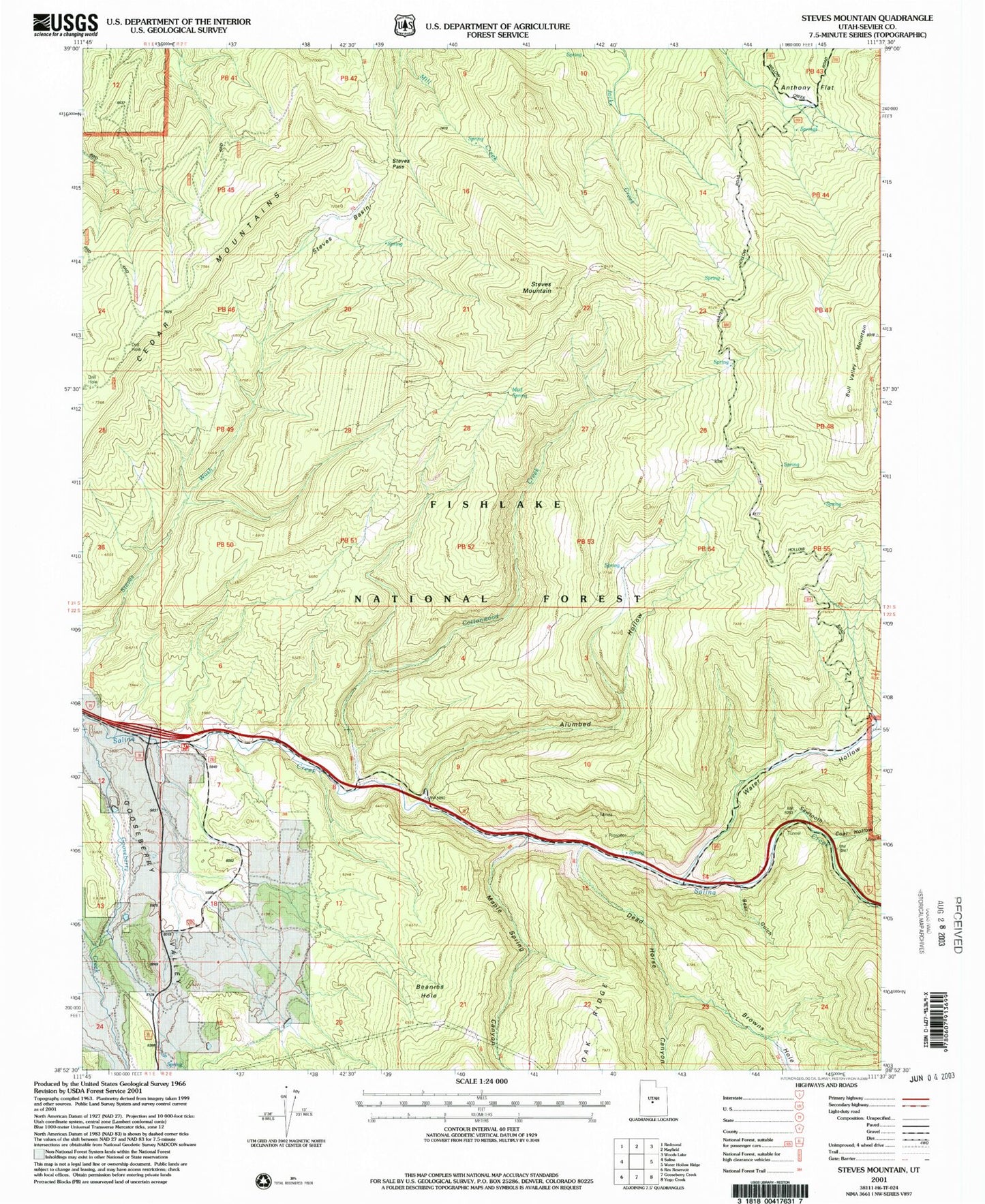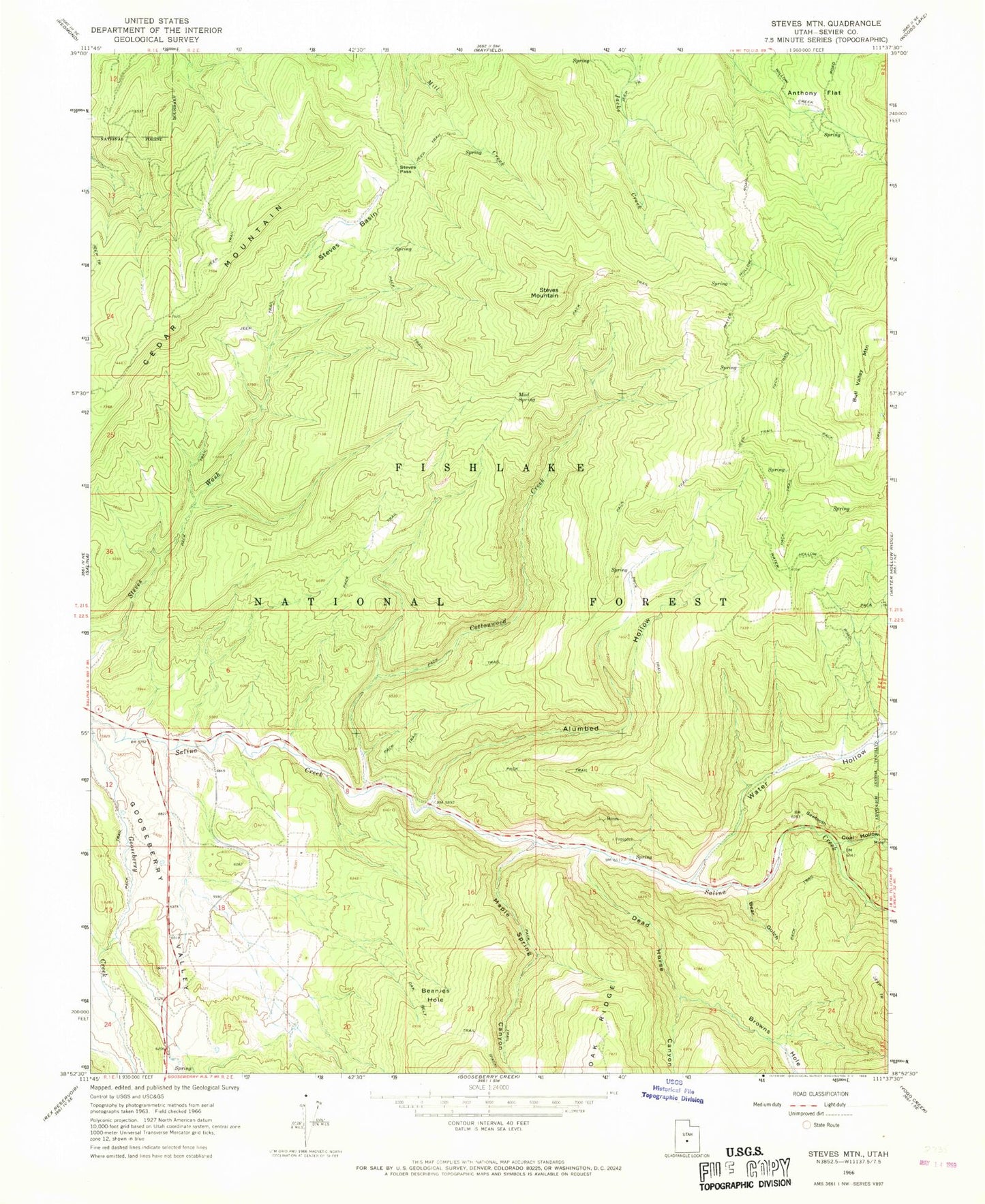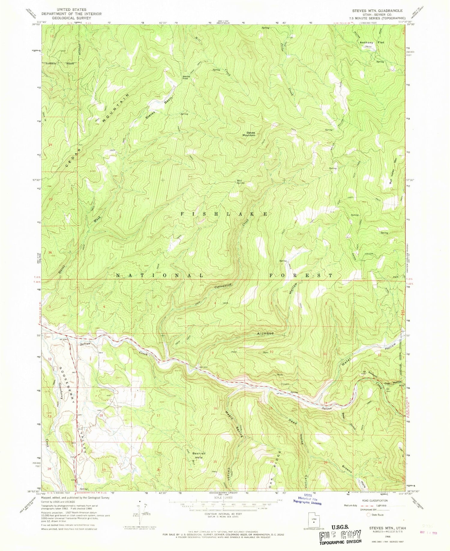
MyTopo
Classic USGS Steves Mountain Utah 7.5'x7.5' Topo Map
Couldn't load pickup availability
Historical USGS topographic quad map of Steves Mountain in the state of Utah. Map scale may vary for some years, but is generally around 1:24,000. Print size is approximately 24" x 27"
This quadrangle is in the following counties: Sevier.
The map contains contour lines, roads, rivers, towns, and lakes. Printed on high-quality waterproof paper with UV fade-resistant inks, and shipped rolled.
Contains the following named places: Alumbed Hollow, Anthony Flat, Beanies Hole, Bear Gulch, Browns Hole, Bull Valley Mountain, Cedar Mountain, Coal Hollow, Cottonwood Creek, Dead Horse Canyon, Maple Spring Canyon, Mud Spring, Oak Belt Trail, Salina Division, Sawtooth, Steves Basin, Steves Mountain, Steves Pass, Water Hollow, ZIP Code: 84654