MyTopo
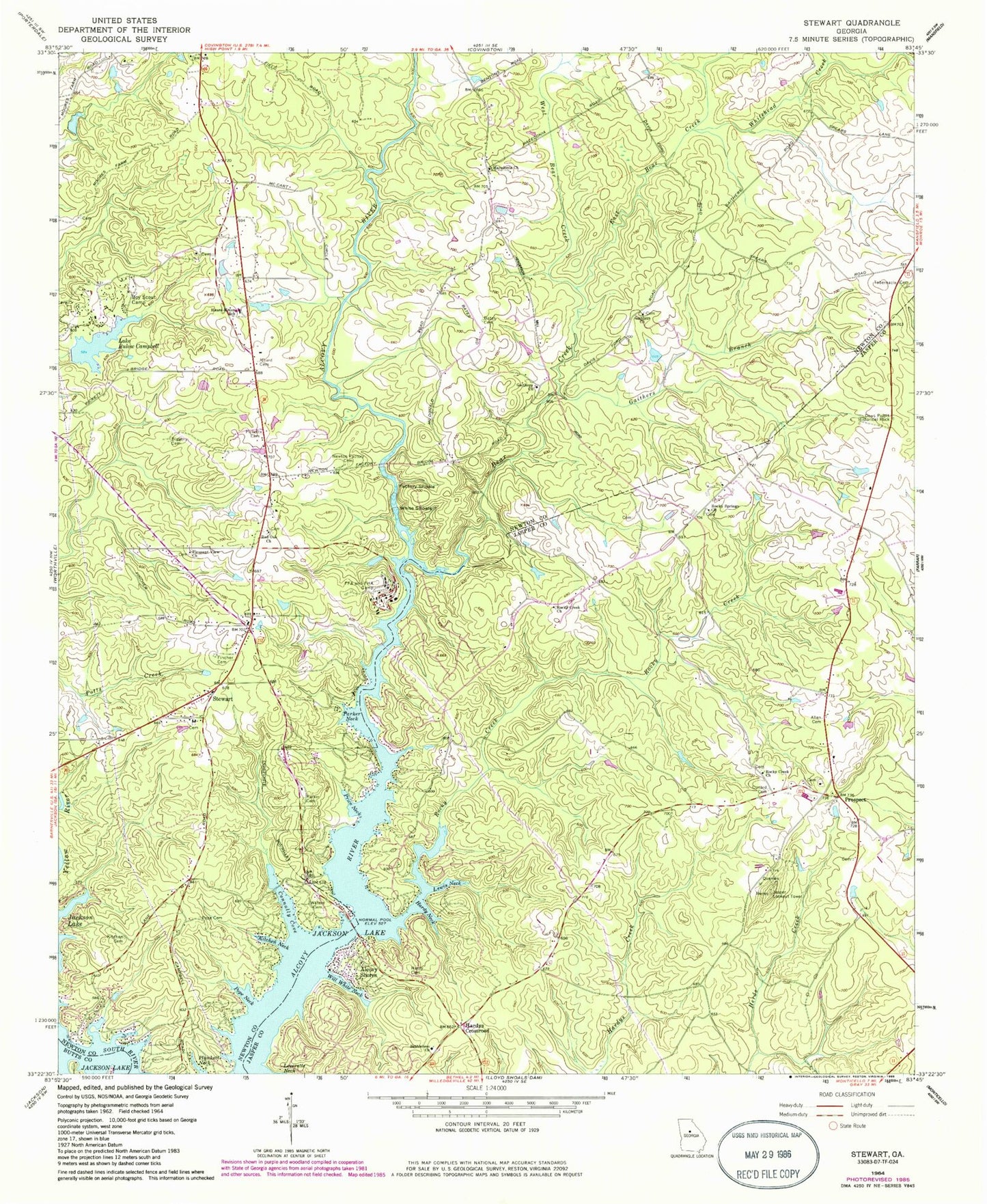
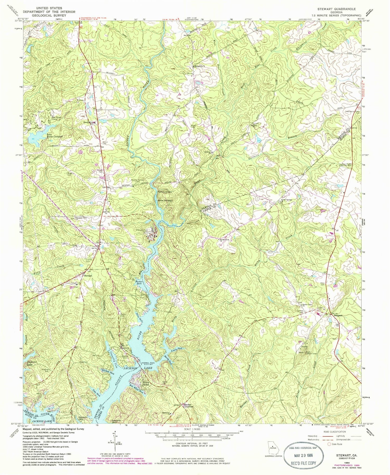
Classic USGS Stewart Georgia 7.5'x7.5' Topo Map
Couldn't load pickup availability
Historical USGS topographic quad map of Stewart in the state of Georgia. Typical map scale is 1:24,000, but may vary for certain years, if available. Print size: 24" x 27"
This quadrangle is in the following counties: Butts, Jasper, Newton.
The map contains contour lines, roads, rivers, towns, and lakes. Printed on high-quality waterproof paper with UV fade-resistant inks, and shipped rolled.
Contains the following named places: Allen Cemetery, Bates Cemetery, Bear Creek, Biggers Cemetery, Lake Bulow Campbell, Connally Cove, Cunard Cemetery, Dows Pulpit Historical Rock, East Bear Creek, Factory Shoals, Fincher Cemetery, Gaithers Branch, Gaithers Church, Hardy Cemetery, Hardy Neck, Heard Cemetery, Kitchen Cemetery, Kitchen Neck, Lewis Neck, Macedonia Church, Newton Factory Cemetery, Parker Cemetery, Parker Neck, Pickett Cemetery, Pleasant View Church, Plunkett Neck, Pope Cemetery, Pope Neck, Price Neck, Red Oak Church, Rocky Creek, Rocky Creek Church, Rocky Creek Church, Rocky Springs Church, Tabernacle Cemetery, Waters Cemetery, West Bear Creek, White Shoals, Whitehead Creek, Will White Neck, Stewart, Alcovy Shores, Bert Adams Dam, Richardson Lake Dam, Richardson Lake, Jasper Lookout Tower, Barnes Branch, Franklin Crossroads, Kitchens Store (historical), Prospect, Prospect Church, Prospect United Methodist Church, Rocky Creek, Turtles Cove, Waters Bridge, New Rocky Creek Cemetery, Prospect Cemetery, Bethlehem Church, Gaithers Church, Hardys Crossroads, Heard Mixon Elementary School, Avalon, Fincher Farms, Idlewood, Lakeside Grove, Long Acres, Malcolm Woods, Red Oak Cemetery, Saddle Acres, Sherwood Forest, Stewart Baptist Church, Stewart Cemetery, Alcovy High School, Jasper County Fire Department Station 6, Jackson Lake Volunteer Fire Department, Newton County Fire Service Station 3


