MyTopo
Classic USGS Stewarts Point California 7.5'x7.5' Topo Map
Couldn't load pickup availability
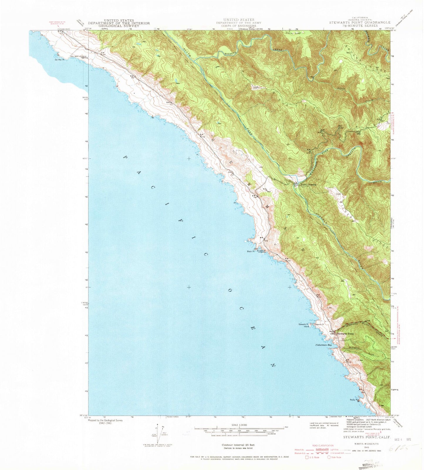
Historical USGS topographic quad map of Stewarts Point in the state of California. Typical map scale is 1:24,000, but may vary for certain years, if available. Print size: 24" x 27"
This quadrangle is in the following counties: Sonoma.
The map contains contour lines, roads, rivers, towns, and lakes. Printed on high-quality waterproof paper with UV fade-resistant inks, and shipped rolled.
Contains the following named places: Beatty Ridge, Black Point, Buckeye Creek, Fisherman Bay, Little Creek, McClellon Gulch, Rocky Point, Brushy Ridge, German, Stewarts Creek, Stewarts Point, Stewarts Point Island, Wheatfield Fork Gualala River, Stewarts Point, The Sea Ranch Airport, Black Point Landing, Valley Crossing, Black Point Beach, Pebble Beach, Sea Ranch, Stewarts Point Cemetery, Sea Ranch Census Designated Place, Sea Ranch Volunteer Fire Department South Station, Department of Forestry and Fire Protection The Sea Ranch Station, Sea Ranch Volunteer Fire Department North Station, White Cap Arch, Buckeye Creek Cemetery, Stewarts Point Post Office, Beatty Ridge, Black Point, Buckeye Creek, Fisherman Bay, Little Creek, McClellon Gulch, Rocky Point, Brushy Ridge, German, Stewarts Creek, Stewarts Point, Stewarts Point Island, Wheatfield Fork Gualala River, Stewarts Point, The Sea Ranch Airport, Black Point Landing, Valley Crossing, Black Point Beach, Pebble Beach, Sea Ranch, Stewarts Point Cemetery, Sea Ranch Census Designated Place, Sea Ranch Volunteer Fire Department South Station, Department of Forestry and Fire Protection The Sea Ranch Station, Sea Ranch Volunteer Fire Department North Station, White Cap Arch, Buckeye Creek Cemetery, Stewarts Point Post Office


