MyTopo
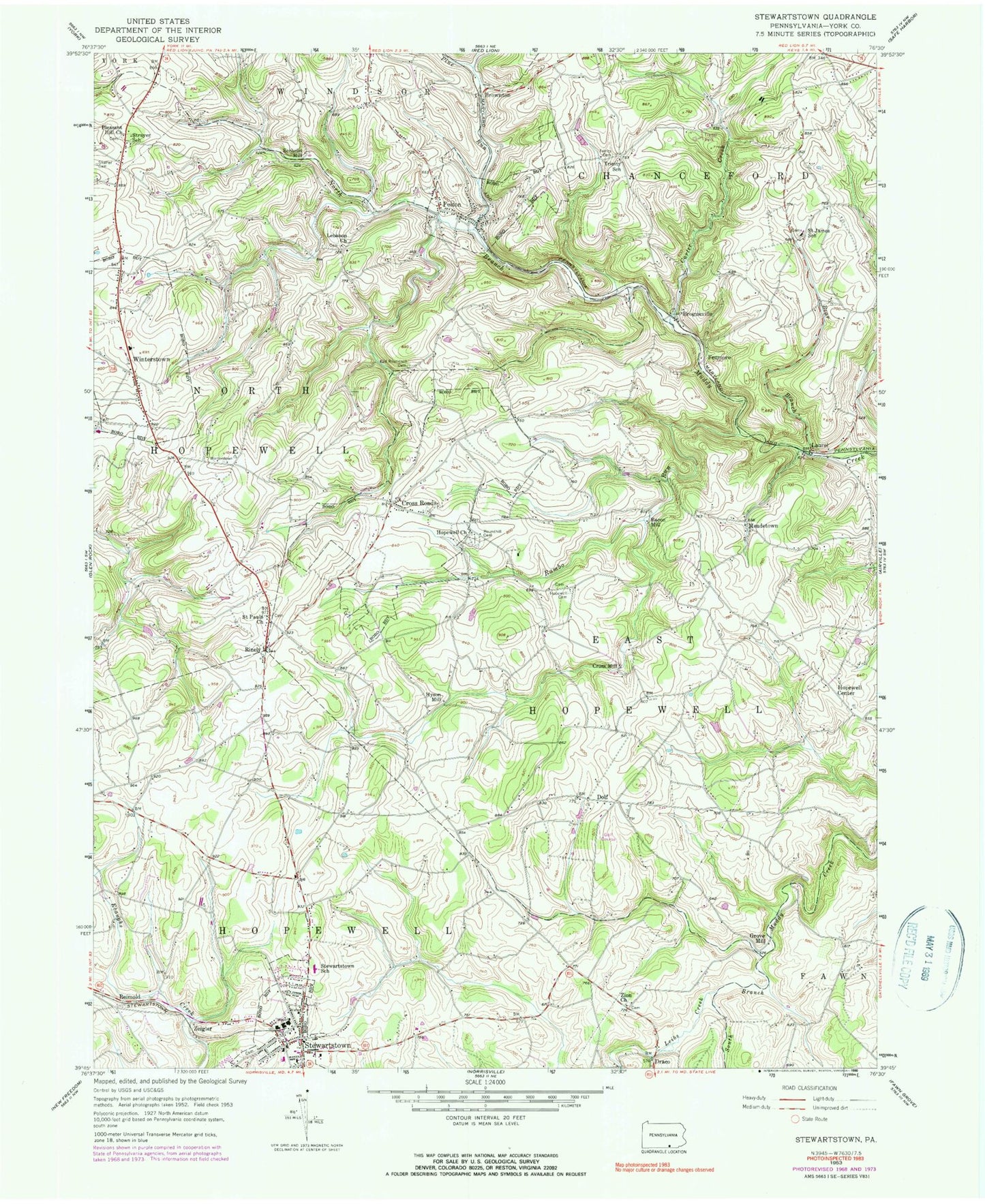
Classic USGS Stewartstown Pennsylvania 7.5'x7.5' Topo Map
Couldn't load pickup availability
Historical USGS topographic quad map of Stewartstown in the state of Pennsylvania. Map scale may vary for some years, but is generally around 1:24,000. Print size is approximately 24" x 27"
This quadrangle is in the following counties: York.
The map contains contour lines, roads, rivers, towns, and lakes. Printed on high-quality waterproof paper with UV fade-resistant inks, and shipped rolled.
Contains the following named places: Bacon Mill, Base Crossroads, Bear Branch, Borough of Cross Roads, Borough of Felton, Borough of Stewartstown, Borough of Winterstown, Brogueville, Brownton, Carter Creek, Center School, Cross Mill, Cross Roads, Dolf, Draco, Draco Airport, Eureka Volunteer Fire Company York County Station 54, Felton, Felton Post Office, Felton Volunteer Fire Company Station 43, Fenmore, Fulton School, Glassick School, Grove Mill, Hopewell Center, Hopewell Church, Hopewell Presbyterian Cemetery, Hyson Hill, Hyson School, Kurtz School, Laurel, Lebanon Church, Leibs Creek, Manifold School, Mason Dixon Public Library, Meadetown, North Hopewell - Winterstown Volunteer Fire Company Station 45, North Hopewell Township Police Department, Old Roundhill Cemetery, Pine Run, Pleasant Hill Church, Pleasant Valley Golf Course, Rambo Run, Reimold, Rinely, Round Hill Presbyterian Church Cemetery, Saint James School, Saint Pauls Church, Sechrist Mill, Sechrist School, Shaffer Cemetery, Stewartstown, Stewartstown Borough Police Department, Stewartstown Post Office, Stewartstown School, Strayer School, Township of East Hopewell, Township of North Hopewell, Trinity Cemetery, Trinity Church, Trinity School, Trout School, Union Church, Wallace School, Winterstown, Zeigler, Zion Church, ZIP Codes: 17322, 17363


