MyTopo
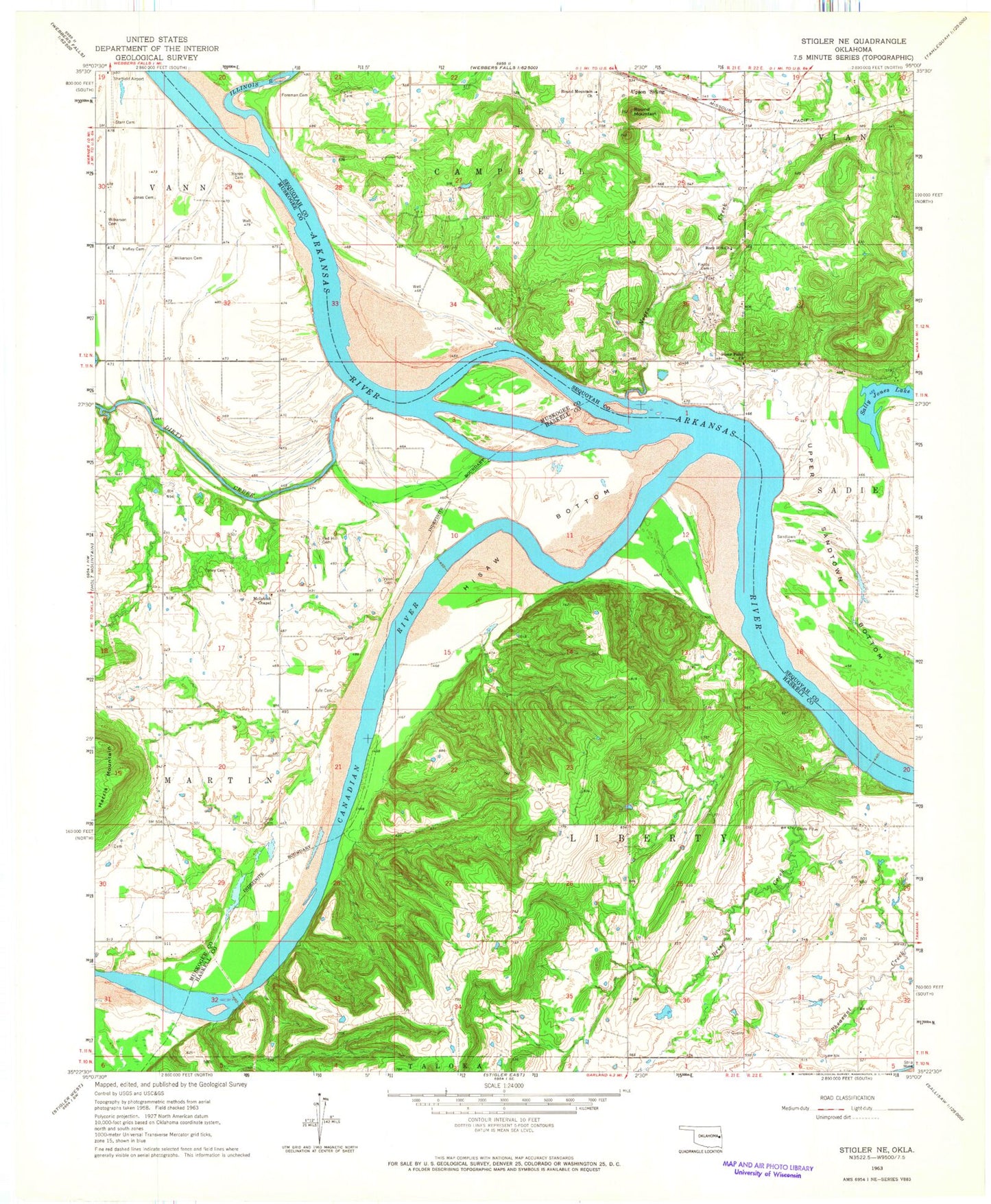
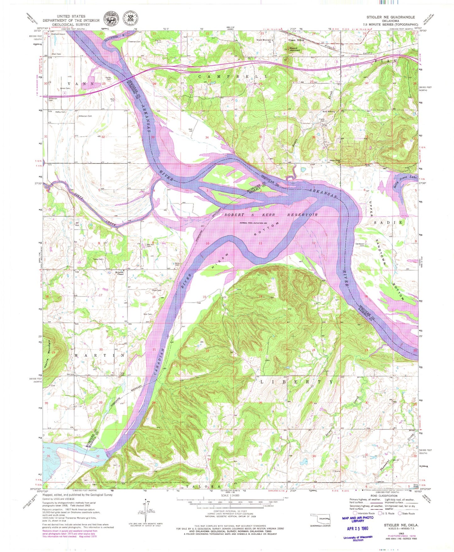
Classic USGS Stigler NE Oklahoma 7.5'x7.5' Topo Map
Couldn't load pickup availability
Historical USGS topographic quad map of Stigler NE in the state of Oklahoma. Map scale may vary for some years, but is generally around 1:24,000. Print size is approximately 24" x 27"
This quadrangle is in the following counties: Haskell, Muskogee, Sequoyah.
The map contains contour lines, roads, rivers, towns, and lakes. Printed on high-quality waterproof paper with UV fade-resistant inks, and shipped rolled.
Contains the following named places: Brier Creek, Canadian River, Carlile Cemetery, Clark Cemetery, Dirty Creek, Fields Cemetery, Foreman Cemetery, Hanks Family Cemetery, Harris Mountain, Hefley Cemetery, Hisaw Bottom, Illinois River, Jones Cemetery, Kyle Cemetery, McIntosh Chapel, Negro Creek, Oknoname 111032 Dam, Oknoname 111032 Reservoir, Red Hill Cemetery, Rock Hill Church, Round Mountain, Round Mountain Cemetery, Round Mountain Church, Sally Jones Lake, Sandtown Cemetery, Sequoyah National Wildlife Refuge, Starr Cemetery, Stony Point Church, Tom Girty Cemetery, Toney Cemetery, Town of Tamaha, Township of Liberty, Upper Sandtown Bottom, Upson Siding, Vann Cemetery, Webbers Falls, Wilkerson Cemetery